235 Point Rd , 19444
Estimated Value: $568,000 - $765,000
5
Beds
4
Baths
2,450
Sq Ft
$272/Sq Ft
Est. Value
About This Home
This home is located at 235 Point Rd, , 19444 and is currently estimated at $666,500, approximately $272 per square foot. 235 Point Rd is a home with nearby schools including Wallenpaupack Area High School.
Ownership History
Date
Name
Owned For
Owner Type
Purchase Details
Closed on
Dec 28, 2004
Sold by
Mccarthy Barbara F
Bought by
Mccarthy Brian M
Current Estimated Value
Home Financials for this Owner
Home Financials are based on the most recent Mortgage that was taken out on this home.
Original Mortgage
$150,000
Interest Rate
5.81%
Mortgage Type
Purchase Money Mortgage
Create a Home Valuation Report for This Property
The Home Valuation Report is an in-depth analysis detailing your home's value as well as a comparison with similar homes in the area
Home Values in the Area
Average Home Value in this Area
Purchase History
| Date | Buyer | Sale Price | Title Company |
|---|---|---|---|
| Mccarthy Brian M | -- | None Available |
Source: Public Records
Mortgage History
| Date | Status | Borrower | Loan Amount |
|---|---|---|---|
| Closed | Mccarthy Brian M | $150,000 |
Source: Public Records
Tax History Compared to Growth
Tax History
| Year | Tax Paid | Tax Assessment Tax Assessment Total Assessment is a certain percentage of the fair market value that is determined by local assessors to be the total taxable value of land and additions on the property. | Land | Improvement |
|---|---|---|---|---|
| 2025 | $6,610 | $453,800 | $109,400 | $344,400 |
| 2024 | $3,978 | $286,100 | $109,400 | $176,700 |
| 2023 | $5,575 | $286,100 | $109,400 | $176,700 |
| 2022 | $5,190 | $239,400 | $63,100 | $176,300 |
| 2021 | $5,098 | $239,400 | $63,100 | $176,300 |
| 2020 | $5,083 | $239,400 | $63,100 | $176,300 |
| 2019 | $4,769 | $239,400 | $63,100 | $176,300 |
| 2018 | $4,675 | $239,400 | $63,100 | $176,300 |
| 2017 | $1,095 | $239,400 | $63,100 | $176,300 |
| 2016 | $4,419 | $239,400 | $63,100 | $176,300 |
| 2014 | -- | $239,400 | $63,100 | $176,300 |
Source: Public Records
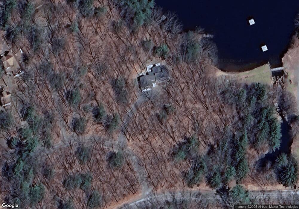
Map
Nearby Homes
- 784 Purdytown Turnpike
- 00 Purdytown Turnpike
- 294 Florence Trail
- 259 Florence Trail
- Lot 62 Oak Mountain Dr
- 177 Crane Rd
- 102 Rocky Rd
- 0 Crane Rd
- 1100 Dewberry Dr
- 116 Daniels Rd
- 1301 Dewberry Dr
- 12C Ridge Crest Dr
- 1058 Dewberry Dr
- 146 Cove Point Cir
- 1007 Sierra Ct
- 1353 Dewberry Dr
- 5 Lakefront Cir Unit 206
- 24 Lakeside Dr
- 30 Lakeside Dr
- 11 Meadowwood Cir W
- 19-C-444 Ridgefield Point
- 14 Point Rd
- 16 Point Rd
- 12 Point Rd
- 19-C-441 White Dear Lake Access Rd
- 13 Bluff Rd
- 7 Bluff Rd
- 70 Bluff Rd
- 5 Whitney Lake Rd
- 23 Whitney Lake Rd
- 41 Whitney Lake Rd
- 62 Bone Ridge Rd
- 45 Whitney Lake Rd
- 47 Whitney Lake Rd
- 36 Whitney Lake Rd
- 49 Whitney Lake Rd
- 4 Whitney Lake Rd
- 6 Whitney Lake Rd
- 40 Whitney Lake Rd
- 42 Whitney Lake Rd