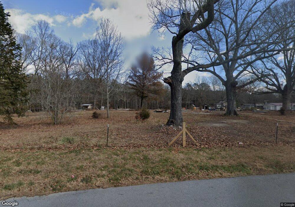
235 Ruff Rd Rockmart, GA 30153
Estimated Value: $101,000 - $278,000
3
Beds
1
Bath
1,516
Sq Ft
$119/Sq Ft
Est. Value
About This Home
This home is located at 235 Ruff Rd, Rockmart, GA 30153 and is currently estimated at $180,723, approximately $119 per square foot. 235 Ruff Rd is a home located in Polk County with nearby schools including Rockmart Middle School.
Ownership History
Date
Name
Owned For
Owner Type
Purchase Details
Closed on
Jan 16, 2024
Sold by
Elsberry Linda Dianne
Bought by
Elsberry William Andrew
Current Estimated Value
Purchase Details
Closed on
Dec 12, 2023
Sold by
Elsberry William Andrew
Bought by
Elsberry William Andrew
Purchase Details
Closed on
Jan 3, 2017
Sold by
Ingram Wilma
Bought by
Elsberry Dianne
Purchase Details
Closed on
Jun 9, 1979
Bought by
Ingram Wayne and Ingram Wilma
Create a Home Valuation Report for This Property
The Home Valuation Report is an in-depth analysis detailing your home's value as well as a comparison with similar homes in the area
Purchase History
| Date | Buyer | Sale Price | Title Company |
|---|---|---|---|
| Elsberry William Andrew | -- | -- | |
| Elsberry William Andrew | -- | -- | |
| Elsberry William Andrew | -- | -- | |
| Elsberry William Andrew | -- | -- | |
| Elsberry Dianne | -- | -- | |
| Wood Patricia | -- | -- | |
| Elsberry Dianne | -- | -- | |
| Ingram Wayne | -- | -- |
Source: Public Records
Tax History
| Year | Tax Paid | Tax Assessment Tax Assessment Total Assessment is a certain percentage of the fair market value that is determined by local assessors to be the total taxable value of land and additions on the property. | Land | Improvement |
|---|---|---|---|---|
| 2025 | $637 | $28,308 | $21,968 | $6,340 |
| 2024 | $477 | $22,816 | $16,476 | $6,340 |
| 2023 | $903 | $38,058 | $16,476 | $21,582 |
| 2022 | $675 | $28,448 | $10,984 | $17,464 |
| 2021 | $684 | $28,448 | $10,984 | $17,464 |
| 2020 | $685 | $28,448 | $10,984 | $17,464 |
| 2019 | $567 | $21,120 | $10,984 | $10,136 |
| 2018 | $575 | $20,880 | $10,984 | $9,896 |
| 2017 | $514 | $20,880 | $10,984 | $9,896 |
| 2016 | $433 | $17,896 | $8,000 | $9,896 |
| 2015 | $444 | $18,276 | $8,000 | $10,276 |
| 2014 | $448 | $18,276 | $8,000 | $10,276 |
Source: Public Records
Map
Nearby Homes
- 748 Maner Rd
- 2435 Vinson Mountain Rd
- 0 Browning Rd Unit 10621740
- None Maner Rd
- 0 Vinson Mountain Rd Unit 10641404
- 0 Vinson Mountain Rd Unit 10622561
- 0 Vinson Mountain Rd Unit 7678463
- 0 Vinson Mountain Rd Unit 10641411
- 0 Vinson Mountain Rd Unit 25164402
- 0 Vinson Mountain Unit 10640241
- 199 Brookhaven Way
- 2122 Browntown Rd
- 3462 Vinson Mountain Rd
- 74 Sandy Path
- 96 Southern Trace Dr
- 132 Southern Trace Crossing
- 117 Wallace Way
- 440 Prometheous Way
- 385 Prometheous Way
- 1252 Paris Mountain Rd
Your Personal Tour Guide
Ask me questions while you tour the home.