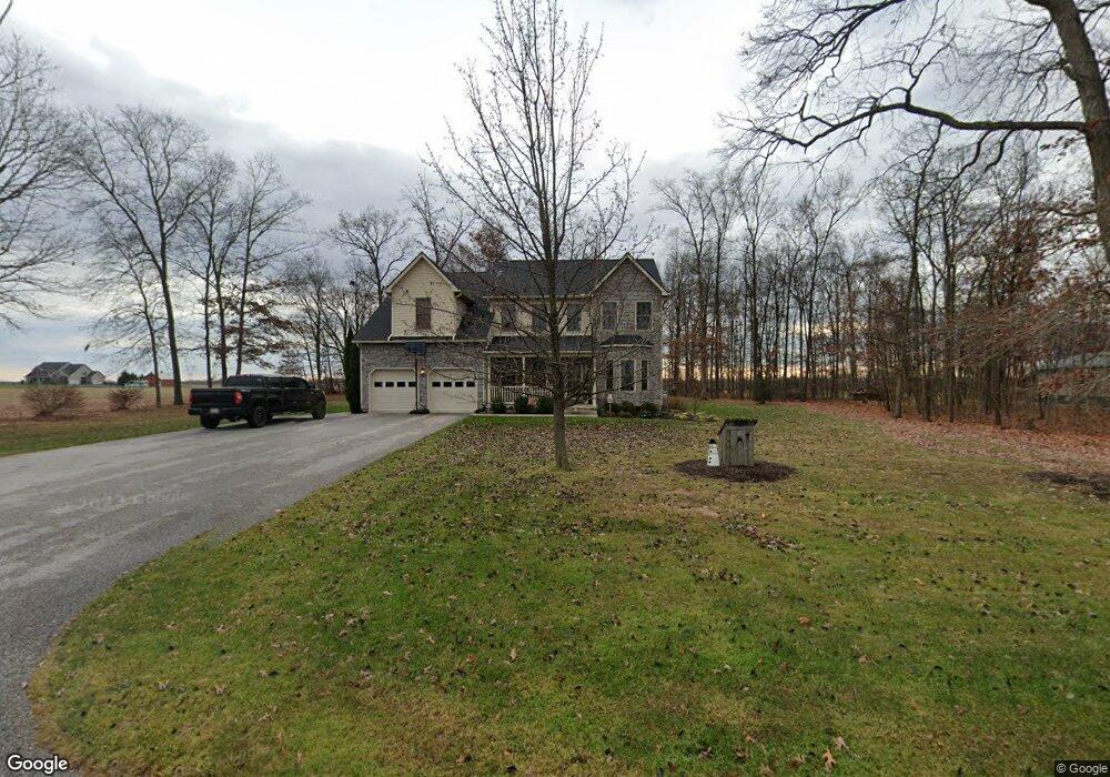
235 Saint Lukes Rd Unit 2 Littlestown, PA 17340
Estimated Value: $390,000 - $582,000
4
Beds
3
Baths
2,844
Sq Ft
$163/Sq Ft
Est. Value
About This Home
This home is located at 235 Saint Lukes Rd Unit 2, Littlestown, PA 17340 and is currently estimated at $463,799, approximately $163 per square foot. 235 Saint Lukes Rd Unit 2 is a home located in Adams County with nearby schools including Rolling Acres El School, Maple Avenue Middle School, and Littlestown Senior High School.
Ownership History
Date
Name
Owned For
Owner Type
Purchase Details
Closed on
Dec 30, 2005
Sold by
Breighner Barton L and Breighner Karen K
Bought by
Jacoby Martin C and Jacoby Kimberlyl A
Current Estimated Value
Create a Home Valuation Report for This Property
The Home Valuation Report is an in-depth analysis detailing your home's value as well as a comparison with similar homes in the area
Home Values in the Area
Average Home Value in this Area
Purchase History
| Date | Buyer | Sale Price | Title Company |
|---|---|---|---|
| Jacoby Martin C | $85,000 | -- |
Source: Public Records
Tax History Compared to Growth
Tax History
| Year | Tax Paid | Tax Assessment Tax Assessment Total Assessment is a certain percentage of the fair market value that is determined by local assessors to be the total taxable value of land and additions on the property. | Land | Improvement |
|---|---|---|---|---|
| 2025 | $5,179 | $267,200 | $81,600 | $185,600 |
| 2024 | $4,956 | $267,200 | $81,600 | $185,600 |
| 2023 | $4,860 | $267,200 | $81,600 | $185,600 |
| 2022 | $4,826 | $267,200 | $81,600 | $185,600 |
| 2021 | $4,659 | $267,200 | $81,600 | $185,600 |
| 2020 | $4,593 | $267,200 | $81,600 | $185,600 |
| 2019 | $4,497 | $267,200 | $81,600 | $185,600 |
| 2018 | $4,401 | $267,200 | $81,600 | $185,600 |
| 2017 | $4,269 | $267,200 | $81,600 | $185,600 |
| 2016 | -- | $267,200 | $81,600 | $185,600 |
| 2015 | -- | $267,200 | $81,600 | $185,600 |
| 2014 | -- | $267,200 | $81,600 | $185,600 |
Source: Public Records
Map
Nearby Homes
- 67 Cedarfield Dr
- 48 Cannon Ln Unit 105
- 138 Cedarfield Dr Unit 71
- 89 Maple St Unit 68
- 1 Hickory Ave
- 27 Maple St
- 8 Maple St
- 464 Locust Ln
- 34 W Hanover St
- 25 Harvest Dr
- 230 W Crest View Ln
- 202 Plunkert Rd Unit 2
- 3801 Baltimore Pike
- 820 Storms Store Rd
- 0 Littlestown Rd
- 549 Grant Dr Unit 549
- 824 Hancock Dr Unit 824
- 871 Sherman Dr Unit 871
- 729 Heritage Dr Unit 729
- 4900 Hanover Rd
- 205 Saint Lukes Rd
- 282 Saint Lukes Rd
- 370 Saint Lukes Rd
- 422 Bulk Plant Rd
- 420 Saint Lukes Rd Unit 1
- 420 Bulk Plant Rd
- 325 Bulk Plant Rd Unit 2
- 460 Saint Lukes Rd
- 425 Bulk Plant Rd Unit 2
- 880 Bowers Rd
- 485 Saint Lukes Rd Unit 2
- 853 Bowers Rd
- 175 Bulk Plant Rd
- 506 Saint Lukes Rd
- 40 Spring Ln Unit 4
- 1391 Hickory Rd Unit 2
- 173 Bulk Plant Rd
- 173 Bulk Plant Rd
- 173 Bulk Plant Rd
- 385 Bulk Plant Rd