235 Sandy Ln Weatherford, TX 76088
Estimated Value: $609,866 - $653,000
3
Beds
2
Baths
1,966
Sq Ft
$321/Sq Ft
Est. Value
About This Home
This home is located at 235 Sandy Ln, Weatherford, TX 76088 and is currently estimated at $631,433, approximately $321 per square foot. 235 Sandy Ln is a home located in Parker County with nearby schools including Peaster Elementary School, Peaster Middle School, and Peaster High School.
Ownership History
Date
Name
Owned For
Owner Type
Purchase Details
Closed on
May 17, 2016
Sold by
Martin David M and Martin Deborah
Bought by
Mcclelland William C
Current Estimated Value
Home Financials for this Owner
Home Financials are based on the most recent Mortgage that was taken out on this home.
Original Mortgage
$347,000
Outstanding Balance
$275,604
Interest Rate
3.59%
Mortgage Type
VA
Estimated Equity
$355,829
Purchase Details
Closed on
Mar 26, 2008
Sold by
Livingston Samuel Norman
Bought by
Mcclelland William C
Home Financials for this Owner
Home Financials are based on the most recent Mortgage that was taken out on this home.
Original Mortgage
$222,400
Interest Rate
6.11%
Mortgage Type
Purchase Money Mortgage
Purchase Details
Closed on
Jan 1, 1901
Bought by
Mcclelland William C
Create a Home Valuation Report for This Property
The Home Valuation Report is an in-depth analysis detailing your home's value as well as a comparison with similar homes in the area
Home Values in the Area
Average Home Value in this Area
Purchase History
| Date | Buyer | Sale Price | Title Company |
|---|---|---|---|
| Mcclelland William C | -- | Attorney | |
| Mcclelland William C | -- | -- | |
| Martin David M | -- | Alamo Title | |
| Mcclelland William C | -- | -- |
Source: Public Records
Mortgage History
| Date | Status | Borrower | Loan Amount |
|---|---|---|---|
| Open | Mcclelland William C | $347,000 | |
| Previous Owner | Martin David M | $222,400 |
Source: Public Records
Tax History Compared to Growth
Tax History
| Year | Tax Paid | Tax Assessment Tax Assessment Total Assessment is a certain percentage of the fair market value that is determined by local assessors to be the total taxable value of land and additions on the property. | Land | Improvement |
|---|---|---|---|---|
| 2025 | $4,076 | $345,485 | -- | -- |
| 2024 | $4,076 | $313,150 | $25,000 | $288,150 |
| 2023 | $4,076 | $290,880 | $0 | $0 |
| 2022 | $5,274 | $264,440 | $13,770 | $250,670 |
| 2021 | $5,163 | $264,440 | $13,770 | $250,670 |
| 2020 | $4,789 | $233,480 | $8,900 | $224,580 |
| 2019 | $4,660 | $233,480 | $8,900 | $224,580 |
| 2018 | $4,248 | $196,580 | $8,570 | $188,010 |
| 2017 | $4,228 | $196,580 | $8,570 | $188,010 |
| 2016 | $3,835 | $178,300 | $6,430 | $171,870 |
| 2015 | $3,430 | $178,300 | $6,430 | $171,870 |
| 2014 | $3,492 | $172,710 | $6,430 | $166,280 |
Source: Public Records
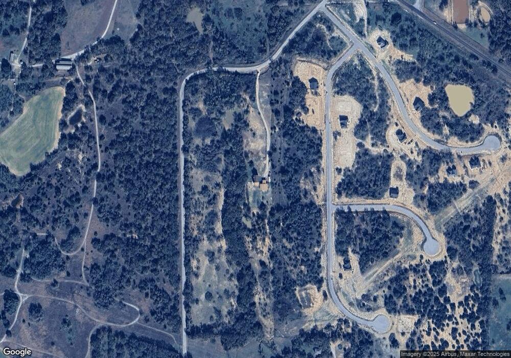
Map
Nearby Homes
- 209 Jefferson Way
- 225 Jefferson Way
- 308 Rickys Rd
- 309 Rickys Rd
- 312 Rickys Rd
- 101 Norene Ln
- 201 Jefferson Way
- 105 Norene Ln
- 6500 Fm Rd Unit 1885
- 431 Advance Rd
- 555 Advance Rd
- 5686 New Authon Rd
- 117 Goldfinch Ln
- 6915 Fm 1885
- 242 Bishop Dr
- 245 Bishop Dr
- 114 Redtail Ct
- 0000 Falcon Dr
- 3099 Cabaniss Ln
- 227 Reata Ranch Dr