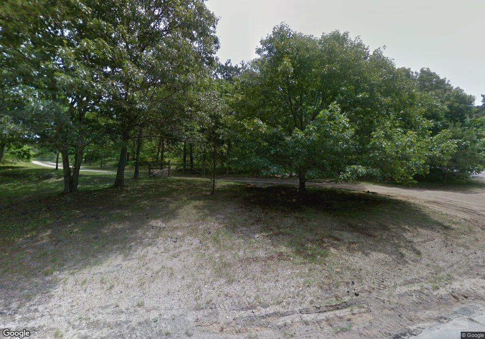
235 Smoke Valley Rd Osterville, MA 02655
Osterville NeighborhoodEstimated Value: $3,730,428 - $4,412,000
4
Beds
3
Baths
3,201
Sq Ft
$1,230/Sq Ft
Est. Value
About This Home
This home is located at 235 Smoke Valley Rd, Osterville, MA 02655 and is currently estimated at $3,938,607, approximately $1,230 per square foot. 235 Smoke Valley Rd is a home located in Barnstable County with nearby schools including West Villages Elementary School, Barnstable United Elementary School, and Barnstable Intermediate School.
Ownership History
Date
Name
Owned For
Owner Type
Purchase Details
Closed on
Sep 26, 2016
Sold by
M Marilyn Buckley Rt
Bought by
M Marilyn Buckley Ft
Current Estimated Value
Purchase Details
Closed on
Aug 1, 2012
Sold by
Buckley Marilyn
Bought by
M Marilyn Buckley Rt
Purchase Details
Closed on
Dec 17, 1997
Sold by
Godfrey Wilfred and Saunders Preston H
Bought by
Buckley Marilyn
Home Financials for this Owner
Home Financials are based on the most recent Mortgage that was taken out on this home.
Original Mortgage
$350,000
Interest Rate
7.14%
Mortgage Type
Purchase Money Mortgage
Create a Home Valuation Report for This Property
The Home Valuation Report is an in-depth analysis detailing your home's value as well as a comparison with similar homes in the area
Home Values in the Area
Average Home Value in this Area
Purchase History
| Date | Buyer | Sale Price | Title Company |
|---|---|---|---|
| M Marilyn Buckley Ft | $1,180,000 | -- | |
| M Marilyn Buckley Rt | -- | -- | |
| Buckley Marilyn | $460,000 | -- |
Source: Public Records
Mortgage History
| Date | Status | Borrower | Loan Amount |
|---|---|---|---|
| Previous Owner | Buckley Marilyn | $350,000 |
Source: Public Records
Tax History Compared to Growth
Tax History
| Year | Tax Paid | Tax Assessment Tax Assessment Total Assessment is a certain percentage of the fair market value that is determined by local assessors to be the total taxable value of land and additions on the property. | Land | Improvement |
|---|---|---|---|---|
| 2025 | $24,510 | $3,029,700 | $1,308,300 | $1,721,400 |
| 2024 | $17,811 | $2,280,500 | $1,308,300 | $972,200 |
| 2023 | $19,501 | $2,338,200 | $1,205,700 | $1,132,500 |
| 2022 | $19,677 | $2,041,200 | $1,027,800 | $1,013,400 |
| 2021 | $20,643 | $1,967,900 | $1,101,100 | $866,800 |
| 2020 | $19,978 | $1,822,800 | $1,018,200 | $804,600 |
| 2019 | $19,424 | $1,722,000 | $984,300 | $737,700 |
| 2018 | $11 | $1,557,400 | $900,300 | $657,100 |
| 2017 | $16,816 | $1,562,800 | $900,300 | $662,500 |
| 2016 | $17,035 | $1,562,800 | $900,300 | $662,500 |
| 2015 | $14,657 | $1,350,900 | $888,400 | $462,500 |
Source: Public Records
Map
Nearby Homes
- 38 Beach Plum Hill Rd
- 476 Baxters Neck Rd
- 476 Baxter Neck Rd
- 60 Smoke Valley Rd
- 431 Baxters Neck Rd
- 359 Baxter Neck Rd
- 98 Bunker Hill Rd
- 139 Prince Ave
- 24 Indigo Ln
- 3040 Falmouth Rd Unit H
- 3040 Falmouth Rd Unit H
- 268 Bumps River Rd
- 24 Bay Rd
- 40 Waterfield Rd
- 369 Bumps River Rd
- 72 River Rd
- 100 River Rd
- 81 Falling Leaf Ln
- 71 Sand Point
- 201 Smoke Valley Rd
- 270 Smoke Valley Rd
- 175 Smoke Valley Rd
- 250 Smoke Valley Rd
- 170 Smoke Valley Rd
- 280 Ice Valley Rd
- 236 Smoke Valley Rd
- 236 Smoke Valley Rd
- 218 Ice Valley Rd
- 155 Smoke Valley Rd
- 300 Smoke Valley Rd
- 312 Smoke Valley Rd
- 33 Beach Plum Hill Rd
- 275 Ice Valley Rd
- 0 Smoke Valley Rd
- 125 Smoke Valley Rd
- 182 Ice Valley Rd
- 40 Beach Plum Hill Rd
- 231 Ice Valley Rd
- 120 Smoke Valley Rd
