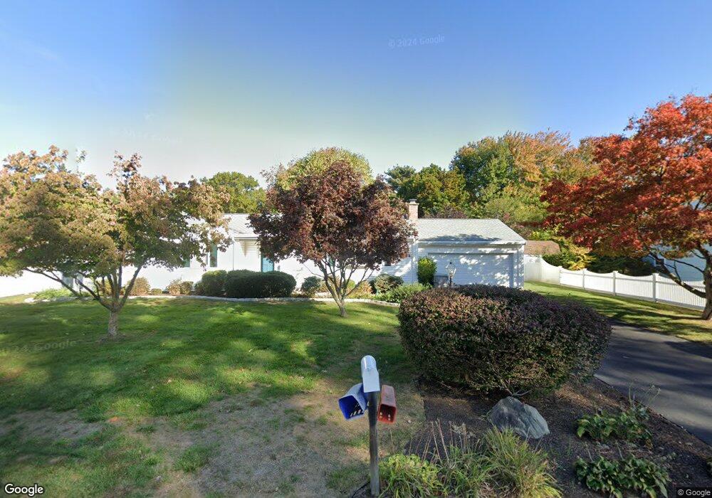
235 Sonstrom Rd Bristol, CT 06010
North Bristol NeighborhoodEstimated Value: $320,000 - $360,000
3
Beds
2
Baths
1,284
Sq Ft
$270/Sq Ft
Est. Value
About This Home
This home is located at 235 Sonstrom Rd, Bristol, CT 06010 and is currently estimated at $346,126, approximately $269 per square foot. 235 Sonstrom Rd is a home located in Hartford County with nearby schools including Ivy Drive School, Northeast Middle School, and Bristol Eastern High School.
Ownership History
Date
Name
Owned For
Owner Type
Purchase Details
Closed on
Aug 18, 1969
Bought by
Dooey Samuel Paul and Dooey Joanne P
Current Estimated Value
Create a Home Valuation Report for This Property
The Home Valuation Report is an in-depth analysis detailing your home's value as well as a comparison with similar homes in the area
Home Values in the Area
Average Home Value in this Area
Purchase History
| Date | Buyer | Sale Price | Title Company |
|---|---|---|---|
| Dooey Samuel Paul | -- | -- |
Source: Public Records
Mortgage History
| Date | Status | Borrower | Loan Amount |
|---|---|---|---|
| Closed | Dooey Samuel Paul | $134,400 | |
| Closed | Dooey Samuel Paul | $116,212 | |
| Closed | Dooey Samuel Paul | $106,250 |
Source: Public Records
Tax History Compared to Growth
Tax History
| Year | Tax Paid | Tax Assessment Tax Assessment Total Assessment is a certain percentage of the fair market value that is determined by local assessors to be the total taxable value of land and additions on the property. | Land | Improvement |
|---|---|---|---|---|
| 2025 | $5,944 | $176,120 | $41,720 | $134,400 |
| 2024 | $5,799 | $182,070 | $41,720 | $140,350 |
| 2023 | $5,526 | $182,070 | $41,720 | $140,350 |
| 2022 | $4,915 | $128,170 | $33,880 | $94,290 |
| 2021 | $4,915 | $128,170 | $33,880 | $94,290 |
| 2020 | $4,915 | $128,170 | $33,880 | $94,290 |
| 2019 | $4,877 | $128,170 | $33,880 | $94,290 |
| 2018 | $4,727 | $128,170 | $33,880 | $94,290 |
| 2017 | $4,631 | $128,520 | $42,140 | $86,380 |
| 2016 | $4,631 | $128,520 | $42,140 | $86,380 |
| 2015 | $4,448 | $128,520 | $42,140 | $86,380 |
| 2014 | $4,448 | $128,520 | $42,140 | $86,380 |
Source: Public Records
Map
Nearby Homes
- 40 Ohio Dr
- 88 Rosemary Ln
- 681 Stevens St
- 16 Cherry Hill Dr
- 26 Cherry Hill Dr
- 1469 Farmington Ave Unit 58
- 1469 Farmington Ave Unit 17
- 84 Goshen Ct
- 1325 Farmington Ave Unit 52
- 1325 Farmington Ave Unit 2
- 134 Brentwood Dr
- 76 Country Ln
- 43 Hiltbrand Rd Unit 2-11
- 52 Plank Hill Rd
- 51 Songbird Ln
- 99 Redwood Dr
- 5 Shirley Ct
- 16 Cardinal Dr
- 20 Shawn Dr
- 1 Sable Ct
- 225 Sonstrom Rd
- 245 Sonstrom Rd
- 255 Sonstrom Rd
- 240 Sonstrom Rd
- 220 Sonstrom Rd
- 230 Sonstrom Rd
- 250 Sonstrom Rd
- 4 Illinois Ave
- 30 Northwestern Dr
- 210 Sonstrom Rd
- 40 Northwestern Dr
- 20 Northwestern Dr
- 31 Northwestern Dr
- 20 Illinois Ave
- 21 Northwestern Dr
- 41 Northwestern Dr
- 265 Sonstrom Rd
- 260 Sonstrom Rd
- 50 Northwestern Dr
- 200 Sonstrom Rd