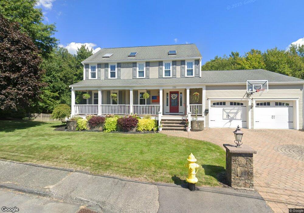
235 St Claire St Braintree, MA 02184
South Braintree NeighborhoodEstimated Value: $1,031,619 - $1,155,000
4
Beds
4
Baths
3,068
Sq Ft
$356/Sq Ft
Est. Value
About This Home
This home is located at 235 St Claire St, Braintree, MA 02184 and is currently estimated at $1,091,155, approximately $355 per square foot. 235 St Claire St is a home located in Norfolk County with nearby schools including Braintree High School, First Baptist Christian School, and Thayer Academy.
Ownership History
Date
Name
Owned For
Owner Type
Purchase Details
Closed on
Apr 28, 2006
Sold by
Mavrides Rita C
Bought by
Barry Clive T and Barry Petrina T
Current Estimated Value
Home Financials for this Owner
Home Financials are based on the most recent Mortgage that was taken out on this home.
Original Mortgage
$442,500
Interest Rate
6.4%
Mortgage Type
Purchase Money Mortgage
Purchase Details
Closed on
Jul 1, 1997
Sold by
Oconnor Ft
Bought by
Mavrides Rita C
Create a Home Valuation Report for This Property
The Home Valuation Report is an in-depth analysis detailing your home's value as well as a comparison with similar homes in the area
Home Values in the Area
Average Home Value in this Area
Purchase History
| Date | Buyer | Sale Price | Title Company |
|---|---|---|---|
| Barry Clive T | $590,000 | -- | |
| Mavrides Rita C | $270,900 | -- | |
| Mavrides Rita C | $270,900 | -- |
Source: Public Records
Mortgage History
| Date | Status | Borrower | Loan Amount |
|---|---|---|---|
| Open | Mavrides Rita C | $464,000 | |
| Closed | Barry Clive T | $442,500 | |
| Previous Owner | Mavrides Rita C | $420,000 |
Source: Public Records
Tax History Compared to Growth
Tax History
| Year | Tax Paid | Tax Assessment Tax Assessment Total Assessment is a certain percentage of the fair market value that is determined by local assessors to be the total taxable value of land and additions on the property. | Land | Improvement |
|---|---|---|---|---|
| 2025 | $8,943 | $896,100 | $309,600 | $586,500 |
| 2024 | $8,040 | $848,100 | $279,600 | $568,500 |
| 2023 | $7,608 | $779,500 | $239,700 | $539,800 |
| 2022 | $7,557 | $759,500 | $219,700 | $539,800 |
| 2021 | $7,271 | $730,800 | $219,700 | $511,100 |
| 2020 | $7,206 | $730,800 | $219,700 | $511,100 |
| 2019 | $6,866 | $680,500 | $219,700 | $460,800 |
| 2018 | $6,778 | $643,100 | $199,700 | $443,400 |
| 2017 | $6,719 | $625,600 | $199,700 | $425,900 |
| 2016 | $6,613 | $602,300 | $199,700 | $402,600 |
| 2015 | $6,433 | $581,100 | $196,700 | $384,400 |
| 2014 | $6,167 | $540,000 | $178,700 | $361,300 |
Source: Public Records
Map
Nearby Homes
- 70 Christina Dr
- 30 Bradford Commons Ln
- 45 Forest St
- 57 Daniel Rd
- 278 Allerton Commons Ln
- 116 Cardinal Ct
- 206 Allerton Commons Ln Unit 206
- 75 Bradford Commons Ln Unit 75
- 86 Bradford Commons Ln
- 134 Tyson Commons Ln
- 111 Bradford Commons Ln Unit 111
- 117 Amherst Rd
- 129 Albee Dr
- 115 Richard Rd
- 7 Drake St
- 432 Grove St
- 68 Massapoag St Unit 7
- 1696 Liberty St
- 894 Liberty St Unit 2
- 293 Alida Rd
- 235 Saint Claire St
- 225 Saint Claire St
- 245 Saint Claire St
- 180 Saint Claire St
- 190 Saint Claire St
- 215 Saint Claire St
- 255 Saint Claire St
- 170 Saint Claire St
- 265 Saint Claire St
- 205 Saint Claire St
- 150 Saint Claire St
- 195 Saint Claire St
- 160 Saint Claire St
- 185 Saint Claire St
- 104 Mcandrew Rd
- 112 Mcandrew Rd
- 96 Mcandrew Rd
- 167 Saint Claire St
- 175 Saint Claire St
- 144 Saint Claire St