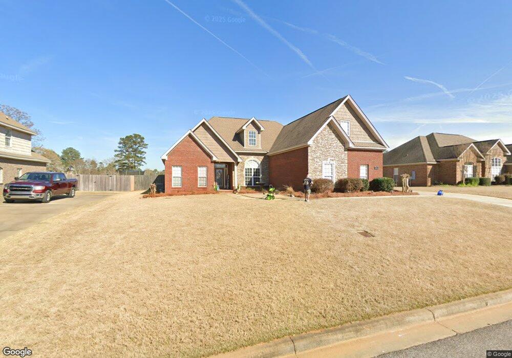
235 St Simons Way Deatsville, AL 36022
Estimated Value: $381,405 - $438,000
4
Beds
4
Baths
3,138
Sq Ft
$130/Sq Ft
Est. Value
About This Home
This home is located at 235 St Simons Way, Deatsville, AL 36022 and is currently estimated at $409,351, approximately $130 per square foot. 235 St Simons Way is a home located in Elmore County with nearby schools including Coosada Elementary School, Airport Road Intermediate School, and Millbrook Middle Junior High School.
Ownership History
Date
Name
Owned For
Owner Type
Purchase Details
Closed on
Jul 31, 2020
Sold by
Depoorter Win E and Depoorter Janice B
Bought by
Rogers Michael L and Rogers Megan M
Current Estimated Value
Home Financials for this Owner
Home Financials are based on the most recent Mortgage that was taken out on this home.
Original Mortgage
$284,050
Outstanding Balance
$251,314
Interest Rate
3.1%
Mortgage Type
New Conventional
Estimated Equity
$158,037
Purchase Details
Closed on
Jan 5, 2012
Sold by
Dees Robert P
Bought by
Depoorter Win E
Create a Home Valuation Report for This Property
The Home Valuation Report is an in-depth analysis detailing your home's value as well as a comparison with similar homes in the area
Home Values in the Area
Average Home Value in this Area
Purchase History
| Date | Buyer | Sale Price | Title Company |
|---|---|---|---|
| Rogers Michael L | $299,000 | None Available | |
| Depoorter Win E | -- | -- |
Source: Public Records
Mortgage History
| Date | Status | Borrower | Loan Amount |
|---|---|---|---|
| Open | Rogers Michael L | $284,050 | |
| Previous Owner | Depoorter Win E | $223,900 |
Source: Public Records
Tax History Compared to Growth
Tax History
| Year | Tax Paid | Tax Assessment Tax Assessment Total Assessment is a certain percentage of the fair market value that is determined by local assessors to be the total taxable value of land and additions on the property. | Land | Improvement |
|---|---|---|---|---|
| 2024 | $1,143 | $38,260 | $0 | $0 |
| 2023 | $1,155 | $390,270 | $35,000 | $355,270 |
| 2022 | $849 | $29,716 | $3,500 | $26,216 |
| 2021 | $857 | $29,996 | $3,500 | $26,496 |
| 2020 | $1,834 | $30,566 | $3,500 | $27,066 |
| 2019 | $882 | $61,692 | $7,000 | $54,692 |
| 2018 | $803 | $28,206 | $3,500 | $24,706 |
| 2017 | $803 | $28,200 | $3,499 | $24,701 |
| 2016 | $853 | $28,206 | $3,500 | $24,706 |
| 2014 | $889 | $293,800 | $39,600 | $254,200 |
Source: Public Records
Map
Nearby Homes
- 40 Tybee Cove
- 18 Abercorn Dr
- 22 Charlton Cove
- 100 Abercorn Dr
- 125 Abercorn Dr
- 59 Charlton Cove
- 54 Charlton Cove
- 56 Abercorn Dr
- 49 Charlton Cove
- 232 Nixon Rd
- 19 Fairway Dr
- 153 Pinewood Dr
- 319 Carlyle Ct
- 248 Elmore Trail
- 342 Ashton Park
- 215 Carolina Ct
- 208 Elmore Trail
- 188 Elmore Trail
- 69 Elmore Trail
- 48 Elmore Trail
- 215 St Simons Way
- 251 St Simons Way
- 251 Saint Simons Way
- 195 St Simons Way
- 224 St Simons Way
- 269 Saint Simons Way
- 204 Saint Simons Way
- 260 St Simons Way
- 260 Saint Simons Way
- LOT 28 St Simon's Way
- 179 St Simons Way
- 287 St Simons Way
- 280 Saint Simons Way
- 280 St Simons Way
- 34 Oglethorpe Dr
- 168 Saint Simons Way
- 168 St Simons Way
- 71 Oglethorpe Dr
- 161 Saint Simons Way
- 296 St Simons Way