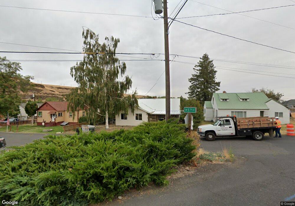
235 SW 5th St Pilot Rock, OR 97868
Estimated Value: $130,000 - $211,000
2
Beds
2
Baths
2,064
Sq Ft
$91/Sq Ft
Est. Value
About This Home
This home is located at 235 SW 5th St, Pilot Rock, OR 97868 and is currently estimated at $187,540, approximately $90 per square foot. 235 SW 5th St is a home located in Umatilla County with nearby schools including Pilot Rock Elementary School and Pilot Rock High School.
Ownership History
Date
Name
Owned For
Owner Type
Purchase Details
Closed on
Feb 14, 2025
Sold by
Mccall Katie
Bought by
Frazier Blake and Conder Haely
Current Estimated Value
Purchase Details
Closed on
Oct 8, 2015
Sold by
Dearborn Lewis and Dearborn Mary L
Bought by
Mccall Katie
Home Financials for this Owner
Home Financials are based on the most recent Mortgage that was taken out on this home.
Original Mortgage
$115,000
Interest Rate
3.86%
Mortgage Type
Seller Take Back
Create a Home Valuation Report for This Property
The Home Valuation Report is an in-depth analysis detailing your home's value as well as a comparison with similar homes in the area
Home Values in the Area
Average Home Value in this Area
Purchase History
| Date | Buyer | Sale Price | Title Company |
|---|---|---|---|
| Frazier Blake | $148,000 | None Listed On Document | |
| Mccall Katie | $130,000 | Amerititle |
Source: Public Records
Mortgage History
| Date | Status | Borrower | Loan Amount |
|---|---|---|---|
| Previous Owner | Mccall Katie | $115,000 |
Source: Public Records
Tax History Compared to Growth
Tax History
| Year | Tax Paid | Tax Assessment Tax Assessment Total Assessment is a certain percentage of the fair market value that is determined by local assessors to be the total taxable value of land and additions on the property. | Land | Improvement |
|---|---|---|---|---|
| 2024 | $2,319 | $134,360 | $28,690 | $105,670 |
| 2023 | $2,272 | $130,450 | $27,850 | $102,600 |
| 2022 | $2,158 | $126,660 | $0 | $0 |
| 2021 | $2,165 | $122,980 | $26,250 | $96,730 |
| 2020 | $8,651 | $119,400 | $25,490 | $93,910 |
| 2018 | $1,695 | $109,430 | $23,000 | $86,430 |
| 2017 | $1,747 | $112,560 | $24,020 | $88,540 |
| 2016 | $1,820 | $112,400 | $18,380 | $94,020 |
| 2015 | $1,789 | $102,880 | $16,820 | $86,060 |
| 2014 | $1,705 | $102,880 | $16,820 | $86,060 |
Source: Public Records
Map
Nearby Homes
- 559 SW Cedar St
- 237 SW 2nd St
- 520 NE 4th St
- 44743 McKay Creek Rd
- 63615 E Birch Creek Ed
- 000 Motanic Rd
- 70741 SW Douglas Dr
- 71251 Appaloosa Ln
- 0000 County 1031 Rd
- 72062 Westfield Blvd
- 1524 SW 44th St
- 0 Mckay Dr
- 1511 SW 41st St
- 1437 SW 40th St
- 1415 SW 44th St
- 1911 SW 3rd St
- 1437 SW 37th St Unit 43
- 1908 SW 2nd Dr
- 1837 SW Athens Ave
- 1317 SW Vita Ct
- 219 SW 5th St
- 275 SW 5th St
- 67024 U S 395
- 589 SW Cedar St
- 461 SW Birch Place
- 280 SW 4th Place
- 448 SW Cedar St
- 242 SW 4th St
- 510 SW Birch Place
- 457 SW Cedar St
- 460 SW Birch Place
- 489 SW Cedar St
- 519 SW Cedar St
- 253 SW 4th St
- 512 SW Birch Place
- 549 SW Cedar St
- 565 SW Birch Place
- 426 SW Cedar St
- 437 SW Cedar St
- 516 SW Birch Place