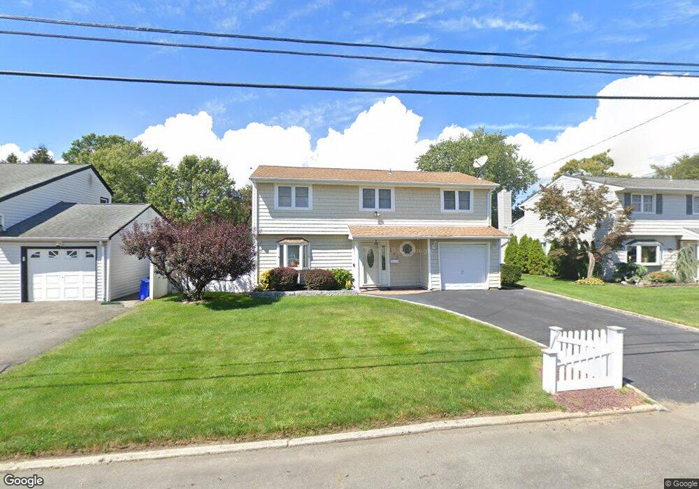
235 Tremont Rd Lindenhurst, NY 11757
Estimated Value: $598,000 - $692,000
--
Bed
1
Bath
1,917
Sq Ft
$337/Sq Ft
Est. Value
About This Home
This home is located at 235 Tremont Rd, Lindenhurst, NY 11757 and is currently estimated at $645,233, approximately $336 per square foot. 235 Tremont Rd is a home located in Suffolk County with nearby schools including William Rall School, Lindenhurst Middle School, and Lindenhurst Senior High School.
Ownership History
Date
Name
Owned For
Owner Type
Purchase Details
Closed on
Jun 25, 2008
Sold by
Rodriguez Jose A
Bought by
Victor Jeffrey
Current Estimated Value
Home Financials for this Owner
Home Financials are based on the most recent Mortgage that was taken out on this home.
Original Mortgage
$346,500
Outstanding Balance
$224,216
Interest Rate
6.13%
Mortgage Type
Stand Alone First
Estimated Equity
$421,017
Purchase Details
Closed on
Jun 11, 1996
Sold by
Lieneck Richard M
Bought by
Rodriguez Jose A and Rodriguez Patricia A
Create a Home Valuation Report for This Property
The Home Valuation Report is an in-depth analysis detailing your home's value as well as a comparison with similar homes in the area
Home Values in the Area
Average Home Value in this Area
Purchase History
| Date | Buyer | Sale Price | Title Company |
|---|---|---|---|
| Victor Jeffrey | $385,000 | Patricia Blake | |
| Rodriguez Jose A | $149,000 | Fidelity National Title Ins |
Source: Public Records
Mortgage History
| Date | Status | Borrower | Loan Amount |
|---|---|---|---|
| Open | Victor Jeffrey | $346,500 |
Source: Public Records
Tax History Compared to Growth
Tax History
| Year | Tax Paid | Tax Assessment Tax Assessment Total Assessment is a certain percentage of the fair market value that is determined by local assessors to be the total taxable value of land and additions on the property. | Land | Improvement |
|---|---|---|---|---|
| 2024 | $14,194 | $3,800 | $280 | $3,520 |
| 2023 | $14,194 | $3,800 | $280 | $3,520 |
| 2022 | $11,241 | $3,800 | $280 | $3,520 |
| 2021 | $11,241 | $3,800 | $280 | $3,520 |
| 2020 | $11,760 | $3,800 | $280 | $3,520 |
| 2019 | $11,760 | $0 | $0 | $0 |
| 2018 | $11,160 | $3,800 | $280 | $3,520 |
| 2017 | $11,160 | $3,800 | $280 | $3,520 |
| 2016 | $11,197 | $3,800 | $280 | $3,520 |
| 2015 | -- | $3,800 | $280 | $3,520 |
| 2014 | -- | $3,800 | $280 | $3,520 |
Source: Public Records
Map
Nearby Homes
- 430 Heathcote Rd
- 456 Heathcote Rd
- 16 Burton Place
- 45 Feustal St
- 0 Tenety Ave Unit 3461459
- 165 Tremont Rd
- 1029 N Niagara Ave
- 156 Farmers Ave
- 61 Kellum St Unit A and B
- 61 Kellum St Unit 61A
- 83 Justice St
- 957 N Fulton Ave
- 108 Justice St
- 48 Farmers Ave
- 940 N Erie Ave
- 702 6th St
- 10 Winchester Dr
- 436 Herzel Blvd
- 583 Straight Path
- 847 N Clinton Ave
- 239 Tremont Rd
- 245 Tremont Rd
- 227 Tremont Rd
- 5 Stevens St
- 249 Tremont Rd
- 238 Tremont Rd
- 24 Leibrock Ave
- 32 Leibrock Ave
- 247 Tremont Rd
- 221 Tremont Rd
- 6 Stevens St
- 20 Leibrock Ave
- 36 Leibrock Ave
- 256 Tremont Rd
- 255 Tremont Rd
- 16 Leibrock Ave
- 40 Leibrock Ave
- 220 Tremont Rd
- 1 Stevens St
- 441 Heathcote Rd