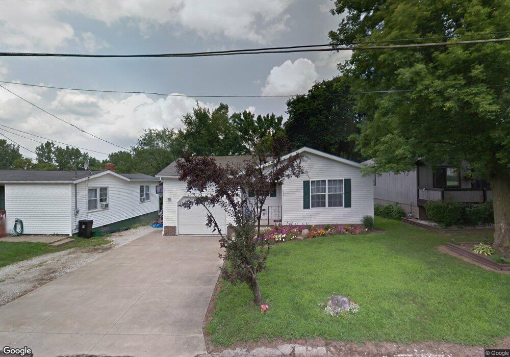
235 W Way St Barberton, OH 44203
North Barberton NeighborhoodEstimated Value: $155,516 - $169,000
2
Beds
1
Bath
928
Sq Ft
$175/Sq Ft
Est. Value
About This Home
This home is located at 235 W Way St, Barberton, OH 44203 and is currently estimated at $162,129, approximately $174 per square foot. 235 W Way St is a home located in Summit County with nearby schools including Barberton Middle School, Barberton Intermediate School 3-5, and Barberton High School.
Ownership History
Date
Name
Owned For
Owner Type
Purchase Details
Closed on
Oct 19, 2005
Sold by
Muffet Joseph L and Muffet Rebecca
Bought by
Kallai Marietta R
Current Estimated Value
Home Financials for this Owner
Home Financials are based on the most recent Mortgage that was taken out on this home.
Original Mortgage
$84,400
Interest Rate
5.82%
Mortgage Type
Purchase Money Mortgage
Purchase Details
Closed on
Sep 30, 1996
Sold by
Est Betty M Kirk
Bought by
Muffet Joseph L and Muffet Rebecca
Create a Home Valuation Report for This Property
The Home Valuation Report is an in-depth analysis detailing your home's value as well as a comparison with similar homes in the area
Home Values in the Area
Average Home Value in this Area
Purchase History
| Date | Buyer | Sale Price | Title Company |
|---|---|---|---|
| Kallai Marietta R | $94,200 | Johnson & Parrish Title Agen | |
| Muffet Joseph L | $7,200 | -- |
Source: Public Records
Mortgage History
| Date | Status | Borrower | Loan Amount |
|---|---|---|---|
| Previous Owner | Kallai Marietta R | $84,400 |
Source: Public Records
Tax History Compared to Growth
Tax History
| Year | Tax Paid | Tax Assessment Tax Assessment Total Assessment is a certain percentage of the fair market value that is determined by local assessors to be the total taxable value of land and additions on the property. | Land | Improvement |
|---|---|---|---|---|
| 2025 | $2,291 | $45,840 | $11,144 | $34,696 |
| 2024 | $2,291 | $45,840 | $11,144 | $34,696 |
| 2023 | $2,291 | $45,840 | $11,144 | $34,696 |
| 2022 | $1,727 | $29,961 | $7,284 | $22,677 |
| 2021 | $1,725 | $29,961 | $7,284 | $22,677 |
| 2020 | $1,688 | $29,960 | $7,280 | $22,680 |
| 2019 | $2,008 | $32,290 | $6,410 | $25,880 |
| 2018 | $1,978 | $32,290 | $6,410 | $25,880 |
| 2017 | $2,004 | $32,290 | $6,410 | $25,880 |
| 2016 | $2,008 | $32,290 | $6,410 | $25,880 |
| 2015 | $2,004 | $32,290 | $6,410 | $25,880 |
| 2014 | $1,993 | $32,290 | $6,410 | $25,880 |
| 2013 | $2,049 | $34,430 | $6,410 | $28,020 |
Source: Public Records
Map
Nearby Homes
- 645 Madison Ave
- 690 Saint Clair Ave
- 103 Mitchell St
- 44 W Summit St
- 0 Wooster Rd N
- 613 Wooster Rd N
- 213 Hermann St
- 146 Hermann St
- 250 Evergreen St
- 30 W Hiram St
- 818 N Summit St
- 137 Hermann St
- 277 Glenn St
- 1924 Caroline Ave
- 1960 Newton St
- 412 Grandview Ave
- 143 Glenn St
- 320 Lincoln Ave Unit 322
- 46 Brown St
- 0 Romig Ave
- 243 W Way St
- 227 W Way St
- 671 Madison Ave
- 221 W Way St
- 650 Crawford Ave
- 219 W Way St
- 646 Crawford Ave
- 215 W Way St
- 651 Crawford Ave
- 676 Newton St
- 674 Madison Ave
- 209 W Way St
- 640 Crawford Ave
- 668 Madison Ave
- 656 Madison Ave
- 662 Madison Ave
- 641 Madison Ave
- 205 W Way St
- 636 Crawford Ave
- 641 Crawford Ave