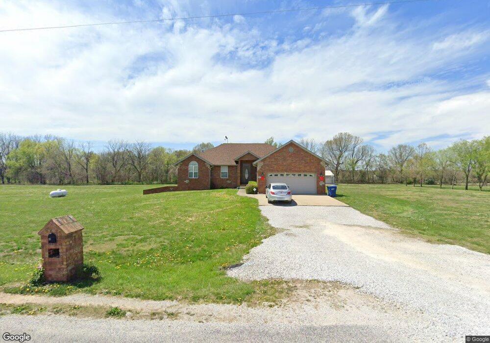
235 Wild Cat Rd Billings, MO 65610
Estimated Value: $446,000 - $500,000
3
Beds
1
Bath
1,620
Sq Ft
$293/Sq Ft
Est. Value
About This Home
This home is located at 235 Wild Cat Rd, Billings, MO 65610 and is currently estimated at $475,143, approximately $293 per square foot. 235 Wild Cat Rd is a home with nearby schools including Clever High School.
Ownership History
Date
Name
Owned For
Owner Type
Purchase Details
Closed on
Dec 8, 2006
Sold by
Farris Scott and Farris Andie
Bought by
Fuhr Eric and Fuhr Michelle
Current Estimated Value
Home Financials for this Owner
Home Financials are based on the most recent Mortgage that was taken out on this home.
Original Mortgage
$177,200
Outstanding Balance
$105,944
Interest Rate
6.31%
Mortgage Type
New Conventional
Estimated Equity
$369,199
Create a Home Valuation Report for This Property
The Home Valuation Report is an in-depth analysis detailing your home's value as well as a comparison with similar homes in the area
Home Values in the Area
Average Home Value in this Area
Purchase History
| Date | Buyer | Sale Price | Title Company |
|---|---|---|---|
| Fuhr Eric | -- | None Available |
Source: Public Records
Mortgage History
| Date | Status | Borrower | Loan Amount |
|---|---|---|---|
| Open | Fuhr Eric | $177,200 |
Source: Public Records
Tax History Compared to Growth
Tax History
| Year | Tax Paid | Tax Assessment Tax Assessment Total Assessment is a certain percentage of the fair market value that is determined by local assessors to be the total taxable value of land and additions on the property. | Land | Improvement |
|---|---|---|---|---|
| 2024 | $2,639 | $47,030 | -- | -- |
| 2023 | $2,639 | $47,030 | $0 | $0 |
| 2022 | $2,495 | $44,370 | $0 | $0 |
| 2021 | $2,500 | $44,370 | $0 | $0 |
| 2020 | $2,298 | $40,470 | $0 | $0 |
| 2019 | $2,298 | $40,470 | $0 | $0 |
| 2018 | $2,078 | $36,820 | $0 | $0 |
| 2017 | $2,078 | $36,820 | $0 | $0 |
| 2016 | $2,043 | $36,820 | $0 | $0 |
| 2015 | $2,045 | $36,820 | $36,820 | $0 |
| 2014 | $2,004 | $37,560 | $0 | $0 |
| 2013 | $20 | $37,560 | $0 | $0 |
| 2011 | $20 | $75,120 | $0 | $0 |
Source: Public Records
Map
Nearby Homes
- 146 Dale Ln
- 418 Forgey Rd
- 317 Forgey Rd
- 152 Nightcap Dr
- 180 Forgey Ln
- 1639 State Highway P
- 000 State Highway P
- 609 N Acacia Ave
- Tr 1 N Metzletein Rd
- 7830 Snowdrop Ave
- 406 W Cherokee Path
- 125 E Teakwood Ave
- 123 E Teakwood Ave
- 127 E Teakwood Ave
- 508 Bradford Pear
- 304 E Teakwood St
- 000 N Public Ave
- 235 Sandy Forest Ln
- 201 N Christopher Ln
- 104 E Meadowbrook Ave
- 232 Wildcat Rd
- 181 Wildcat Rd
- 182 Wild Cat Rd
- 273 Wildcat Rd
- 157 Wildcat Rd
- 276 Wild Cat Rd
- 305 Wild Turkey Dr
- 345 Wild Turkey Dr
- 125 Wild Cat Rd
- 380 Wild Turkey Dr
- 301 Wildcat Rd
- 340 Wild Turkey Dr
- 377 Wild Turkey Dr
- 420 Wild Turkey Dr
- 265 Wild Turkey Dr
- 300 Wild Turkey Dr
- 300 Wildcat Rd
- 460 Wild Turkey Dr
- 415 Wild Turkey Dr
- 260 Wild Turkey Dr