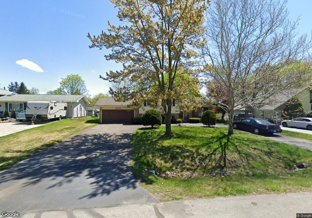
2350 Phillips Rd Auburn Hills, MI 48326
Estimated Value: $278,137 - $318,000
3
Beds
2
Baths
1,428
Sq Ft
$212/Sq Ft
Est. Value
About This Home
This home is located at 2350 Phillips Rd, Auburn Hills, MI 48326 and is currently estimated at $302,284, approximately $211 per square foot. 2350 Phillips Rd is a home located in Oakland County with nearby schools including Rogers Elementary, Pontiac Middle School, and Pontiac High School.
Ownership History
Date
Name
Owned For
Owner Type
Purchase Details
Closed on
Dec 3, 2002
Sold by
Smith Matthew D and Smith Laura A
Bought by
Lee Timothy and Lee Stephanie J
Current Estimated Value
Purchase Details
Closed on
Nov 17, 1999
Sold by
Mass Jason A
Bought by
Smith Matthew D
Home Financials for this Owner
Home Financials are based on the most recent Mortgage that was taken out on this home.
Original Mortgage
$114,900
Interest Rate
7.97%
Create a Home Valuation Report for This Property
The Home Valuation Report is an in-depth analysis detailing your home's value as well as a comparison with similar homes in the area
Home Values in the Area
Average Home Value in this Area
Purchase History
| Date | Buyer | Sale Price | Title Company |
|---|---|---|---|
| Lee Timothy | $154,000 | Metropolitan Title Company | |
| Smith Matthew D | $118,500 | -- |
Source: Public Records
Mortgage History
| Date | Status | Borrower | Loan Amount |
|---|---|---|---|
| Previous Owner | Smith Matthew D | $114,900 |
Source: Public Records
Tax History Compared to Growth
Tax History
| Year | Tax Paid | Tax Assessment Tax Assessment Total Assessment is a certain percentage of the fair market value that is determined by local assessors to be the total taxable value of land and additions on the property. | Land | Improvement |
|---|---|---|---|---|
| 2024 | $1,129 | $103,050 | $0 | $0 |
| 2023 | $1,077 | $98,540 | $0 | $0 |
| 2022 | $1,901 | $81,440 | $0 | $0 |
| 2021 | $1,870 | $77,710 | $0 | $0 |
| 2020 | $1,014 | $78,330 | $0 | $0 |
| 2019 | $1,717 | $71,290 | $0 | $0 |
| 2018 | $1,680 | $64,900 | $0 | $0 |
| 2017 | $1,647 | $64,950 | $0 | $0 |
| 2016 | $1,636 | $62,410 | $0 | $0 |
| 2015 | -- | $58,720 | $0 | $0 |
| 2014 | -- | $50,850 | $0 | $0 |
| 2011 | -- | $57,260 | $0 | $0 |
Source: Public Records
Map
Nearby Homes
- 2464 Allerton Rd
- 2631 E Walton Blvd
- 2325 Walnut Rd
- 2400 Walnut Rd
- 2300 Richwood Rd
- 2835 Genes Dr
- 2436 Richwood Rd
- 2087 E Walton Blvd
- 2641 Konrad Ct Unit 6
- 2375 Snellbrook Rd
- 2145 Joy Rd
- 2115 Snellbrook Rd
- 151 Cedar Isle Dr
- 2700 Shimmons Rd
- 3160 Bookham Cir
- 3164 Bookham Cir
- 1132 Carpenter Dr Unit 2
- 1580 N Opdyke Rd
- 2530 Patrick Henry St
- 1124 Carpenter Dr Unit 4
- 2334 Phillips Rd
- 2366 Phillips Rd
- 2318 Phillips Rd
- 2349 Mattie Lu Dr
- 2510 Armada Dr
- 2333 Mattie Lu Dr
- 2365 Mattie Lu Dr
- 2530 Armada Dr
- 2317 Mattie Lu Dr
- 2359 Phillips Rd
- 2343 Phillips Rd
- 2302 Phillips Rd
- 2375 Phillips Rd
- 2327 Phillips Rd
- 2395 Mattie Lu Dr
- 2301 Mattie Lu Dr
- 2391 Phillips Rd
- 2311 Phillips Rd
- 2282 Phillips Rd
- 2281 Mattie Lu Dr