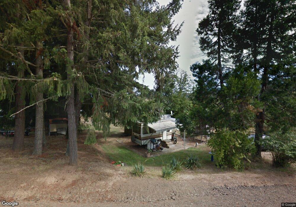
2350 Plat I Rd Sutherlin, OR 97479
Estimated Value: $298,000 - $360,000
2
Beds
1
Bath
794
Sq Ft
$407/Sq Ft
Est. Value
About This Home
This home is located at 2350 Plat I Rd, Sutherlin, OR 97479 and is currently estimated at $323,408, approximately $407 per square foot. 2350 Plat I Rd is a home located in Douglas County with nearby schools including East Sutherlin Primary School, West Sutherlin Intermediate School, and Sutherlin Middle School.
Ownership History
Date
Name
Owned For
Owner Type
Purchase Details
Closed on
Aug 11, 2021
Sold by
Dense Kelly Green
Bought by
Dense Robert E
Current Estimated Value
Purchase Details
Closed on
Jul 21, 2021
Sold by
Dense Kelly Green
Bought by
Dense Robert E
Purchase Details
Closed on
Apr 16, 2018
Sold by
Dense Robert E
Bought by
Dense Robert E and Dense Kelly Breen
Purchase Details
Closed on
Apr 13, 2018
Sold by
Dense Robert E
Bought by
Dense Robert E and Dense Kelly G
Purchase Details
Closed on
Jun 3, 2009
Sold by
State Of Oregon Department Of Human Serv
Bought by
Dense Robert E
Create a Home Valuation Report for This Property
The Home Valuation Report is an in-depth analysis detailing your home's value as well as a comparison with similar homes in the area
Home Values in the Area
Average Home Value in this Area
Purchase History
| Date | Buyer | Sale Price | Title Company |
|---|---|---|---|
| Dense Robert E | -- | None Listed On Document | |
| Dense Robert E | -- | None Available | |
| Dense Robert E | -- | None Available | |
| Dense Robert E | -- | None Listed On Document | |
| Dense Robert E | -- | Western Title & Escrow Co |
Source: Public Records
Tax History Compared to Growth
Tax History
| Year | Tax Paid | Tax Assessment Tax Assessment Total Assessment is a certain percentage of the fair market value that is determined by local assessors to be the total taxable value of land and additions on the property. | Land | Improvement |
|---|---|---|---|---|
| 2025 | $1,131 | $154,030 | -- | -- |
| 2024 | $1,098 | $149,544 | -- | -- |
| 2023 | $1,066 | $145,189 | $0 | $0 |
| 2022 | $1,035 | $140,961 | $0 | $0 |
| 2021 | $945 | $128,729 | $0 | $0 |
| 2020 | $819 | $111,480 | $0 | $0 |
| 2019 | $739 | $100,602 | $0 | $0 |
| 2018 | $549 | $74,759 | $0 | $0 |
| 2017 | $580 | $72,582 | $0 | $0 |
| 2016 | $564 | $70,468 | $0 | $0 |
| 2015 | $547 | $68,416 | $0 | $0 |
| 2014 | $531 | $66,424 | $0 | $0 |
| 2013 | -- | $64,490 | $0 | $0 |
Source: Public Records
Map
Nearby Homes
- 339 Justa Ln
- 250 Valley View Rd
- 557 Plat B Rd
- 1555 Northside Rd
- 1175 Northside Rd
- 205 Fair Oaks Rd
- 161 South Ave
- 402 Northside Rd
- 1300 Fair Oaks Rd
- 1870 Lakeview Dr
- 1853 Ridge Water Dr
- 1762 E Fourth Ave
- 660 Jade St
- 1732 E Sixth Ave
- 337 S Grove Ln
- 1316 Sunny Ct
- 337 Arvilla Ct
- 229 N Grove Ln
- 1200 E Central Ave Unit 80
- 1200 E Central Ave Unit 139
- 2246 Plat I Rd
- 1953 Plat K Rd
- 2343 Plat I Rd
- 2164 Plat I Rd
- 2333 Plat I Rd
- 112 Fraser Canyon Rd
- 1833 Plat K Rd
- 205 Fraser Canyon Rd
- 2203 Plat I Rd
- 160 Hambrick Ave
- 233 Hambrick Ave
- 196 Hambrick Ave
- 2047 Plat I Rd
- 238 Hambrick Ave
- 2000 Plat I Rd
- 175 Val St
- 125 Val St
- 291 Fraser Canyon Rd
- 1995 Plat I Rd
- 304 Fraser Canyon Rd