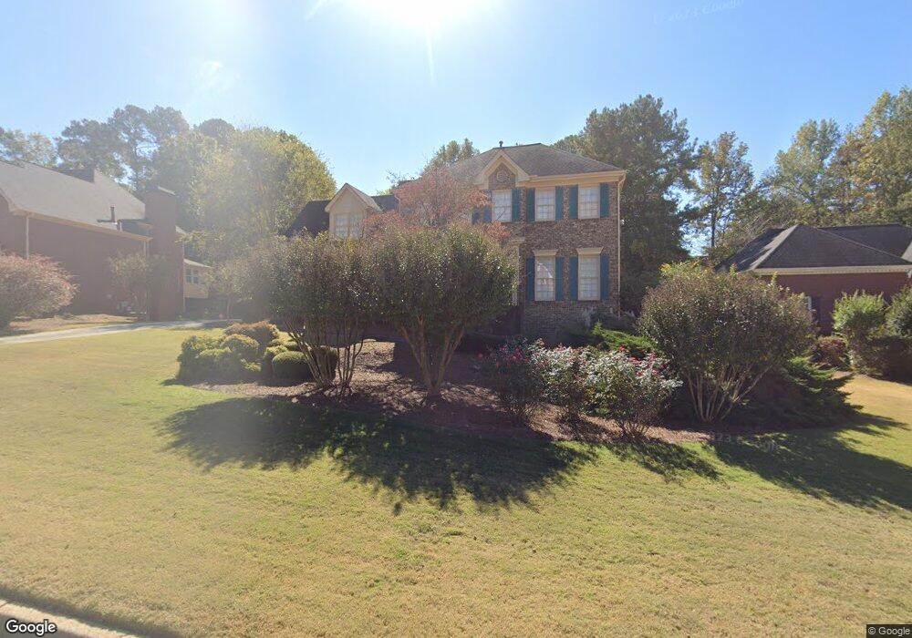
2350 Weatherstone Cir SE Unit 3 Conyers, GA 30094
Estimated Value: $361,961 - $424,000
4
Beds
3
Baths
2,528
Sq Ft
$157/Sq Ft
Est. Value
About This Home
This home is located at 2350 Weatherstone Cir SE Unit 3, Conyers, GA 30094 and is currently estimated at $396,490, approximately $156 per square foot. 2350 Weatherstone Cir SE Unit 3 is a home located in Rockdale County with nearby schools including Flat Shoals Elementary School, Edwards Middle School, and Rockdale County High School.
Ownership History
Date
Name
Owned For
Owner Type
Purchase Details
Closed on
Dec 6, 1993
Sold by
Stonecreek Builders Inc
Bought by
Smiley George E and Smiley Lisa A
Current Estimated Value
Home Financials for this Owner
Home Financials are based on the most recent Mortgage that was taken out on this home.
Original Mortgage
$165,500
Interest Rate
7.09%
Mortgage Type
VA
Create a Home Valuation Report for This Property
The Home Valuation Report is an in-depth analysis detailing your home's value as well as a comparison with similar homes in the area
Home Values in the Area
Average Home Value in this Area
Purchase History
| Date | Buyer | Sale Price | Title Company |
|---|---|---|---|
| Smiley George E | $160,700 | -- |
Source: Public Records
Mortgage History
| Date | Status | Borrower | Loan Amount |
|---|---|---|---|
| Closed | Smiley George E | $165,500 |
Source: Public Records
Tax History Compared to Growth
Tax History
| Year | Tax Paid | Tax Assessment Tax Assessment Total Assessment is a certain percentage of the fair market value that is determined by local assessors to be the total taxable value of land and additions on the property. | Land | Improvement |
|---|---|---|---|---|
| 2024 | $4,325 | $172,680 | $30,920 | $141,760 |
| 2023 | $3,677 | $153,040 | $30,800 | $122,240 |
| 2022 | $2,990 | $126,280 | $24,960 | $101,320 |
| 2021 | $2,646 | $106,040 | $20,800 | $85,240 |
| 2020 | $2,371 | $93,360 | $17,760 | $75,600 |
| 2019 | $2,216 | $86,400 | $10,800 | $75,600 |
| 2018 | $1,688 | $68,880 | $10,800 | $58,080 |
| 2017 | $1,470 | $61,240 | $10,800 | $50,440 |
| 2016 | $1,358 | $61,240 | $10,800 | $50,440 |
| 2015 | $1,147 | $53,840 | $9,320 | $44,520 |
| 2014 | $869 | $47,680 | $8,000 | $39,680 |
| 2013 | -- | $77,280 | $13,600 | $63,680 |
Source: Public Records
Map
Nearby Homes
- Boston Plan at Millers Pointe
- Atlanta Plan at Millers Pointe
- Columbus Plan at Millers Pointe
- 2464 Lennox Rd SE
- 340 Windsor Walk SE
- 2608 Downing Park Dr SE
- 1420 Hillside Place SE
- 2631 Rolling Hills Way SE
- 2537 Lennox Rd SE
- 309 Windsor Walk SE Unit 1
- 2197 Boxwood Cir
- 1601 Creek Crossing SE
- 1508 Hillside Dr SE
- Astrid Plan at Alder Park
- Harrison Plan at Alder Park
- Baker Plan at Alder Park
- Oliver Plan at Alder Park
- 660 Kirkus Dr SE
- 1511 Hillside Dr SE
- 2617 Laurel Woods Ln SE Unit 3
- 2360 Weatherstone Cir SE
- 2340 Weatherstone Cir SE Unit 3
- 2370 Weatherstone Cir SE
- 2330 Weatherstone Cir SE
- 2460 Danbury Ct SE Unit 4
- 2440 Danbury Ct SE Unit 4
- 2351 Weatherstone Cir SE
- 2361 Weatherstone Cir SE Unit 3
- 2341 Weatherstone Cir SE
- 2430 Danbury Ct SE
- 2470 Danbury Ct SE
- 2320 Weatherstone Cir SE
- 2380 Weatherstone Cir SE
- 2371 Weatherstone Cir SE
- 2331 Weatherstone Cir SE
- 2420 Danbury Ct SE
- 2381 Weatherstone Cir SE
- 2390 Weatherstone Cir SE Unit 3
- 2480 Danbury Ct SE
- 2970 Weatherstone Cir SE