23503 State Highway 51 Wagoner, OK 74467
Estimated Value: $476,806 - $825,000
3
Beds
2
Baths
2,512
Sq Ft
$251/Sq Ft
Est. Value
About This Home
This home is located at 23503 State Highway 51, Wagoner, OK 74467 and is currently estimated at $629,702, approximately $250 per square foot. 23503 State Highway 51 is a home located in Wagoner County with nearby schools including Ellington Elementary School, William R. Teague Elementary School, and Wagoner Middle School.
Ownership History
Date
Name
Owned For
Owner Type
Purchase Details
Closed on
Sep 13, 2006
Sold by
Robertson Charles E
Bought by
Diaz Rafael
Current Estimated Value
Home Financials for this Owner
Home Financials are based on the most recent Mortgage that was taken out on this home.
Original Mortgage
$324,000
Outstanding Balance
$193,253
Interest Rate
6.64%
Mortgage Type
Purchase Money Mortgage
Estimated Equity
$436,449
Purchase Details
Closed on
Apr 11, 2001
Sold by
Mccoy A L/Betty Trustees
Create a Home Valuation Report for This Property
The Home Valuation Report is an in-depth analysis detailing your home's value as well as a comparison with similar homes in the area
Purchase History
| Date | Buyer | Sale Price | Title Company |
|---|---|---|---|
| Diaz Rafael | $360,000 | Metro Abstract & Title | |
| -- | $30,000 | -- |
Source: Public Records
Mortgage History
| Date | Status | Borrower | Loan Amount |
|---|---|---|---|
| Open | Diaz Rafael | $324,000 |
Source: Public Records
Tax History
| Year | Tax Paid | Tax Assessment Tax Assessment Total Assessment is a certain percentage of the fair market value that is determined by local assessors to be the total taxable value of land and additions on the property. | Land | Improvement |
|---|---|---|---|---|
| 2025 | $2,578 | $28,321 | $938 | $27,383 |
| 2024 | $2,540 | $27,497 | $911 | $26,586 |
| 2023 | $2,466 | $26,695 | $873 | $25,822 |
| 2022 | $2,388 | $25,918 | $828 | $25,090 |
| 2021 | $2,330 | $25,163 | $795 | $24,368 |
| 2020 | $2,317 | $24,430 | $795 | $23,635 |
| 2019 | $1,937 | $23,719 | $795 | $22,924 |
| 2018 | $2,087 | $24,137 | $683 | $23,454 |
| 2017 | $2,105 | $24,718 | $683 | $24,035 |
| 2016 | $1,987 | $23,998 | $781 | $23,217 |
| 2015 | -- | $23,299 | $781 | $22,518 |
| 2014 | -- | $25,039 | $1,341 | $23,698 |
Source: Public Records
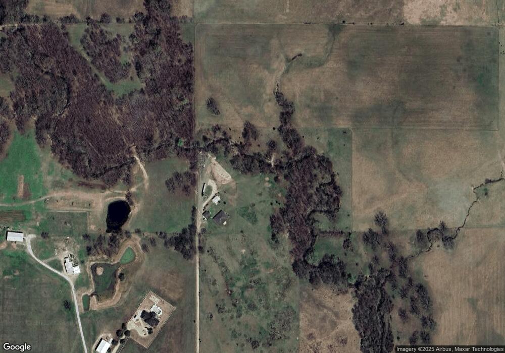
Map
Nearby Homes
- 72860 S 220 Rd
- 23960 E 710 Rd
- 0 State Hwy 51 Hwy W Unit 2529536
- 0 Hwy 51 B Hwy Unit 2550663
- 26064 E 731 Rd
- 122 Yorkshire Blvd
- 60 E 740 Rd
- 15391 S 413th East Ave
- 2 S 720 Rd
- 26530 E 710 Rd
- 1807 SW 2nd Place
- 308 Roosevelt Ave
- 205 S Mary Ave
- 506 Park St
- 519 Park St
- 512 Park St
- 69 S 270 Rd
- 405 Mockingbird Ln
- 1 Ash Ave
- 308 Peak Cir
- 23503 Oklahoma 51
- 23387 State Highway 51
- 23383 State Highway 51
- 23509 State Highway 51
- 10 E Hwy 51
- 75771 W Hwy 51 St
- 72616 S 230 Rd
- 72774 S 230 Rd
- 72878 S 230 Rd
- 72409 S 240 Rd
- 6250 W Hwy 51 Hwy E
- 23754 E 720 Rd
- 0 S 720 Rd Unit 1830464
- 0 S 720 Rd Unit 1845909
- 0 S 720 Rd Unit 1900427
- 0 S 720 Rd Unit 1900426
- 0 S 720 Rd Unit 1900425
- 0 S 720 Rd Unit 1900424
- 0 S 720 Rd Unit 1900423
- 0 S 720 Rd Unit 1902632
Your Personal Tour Guide
Ask me questions while you tour the home.