2351 W State Farm Rd North Platte, NE 69101
Estimated Value: $295,000 - $305,865
1
Bed
1
Bath
748
Sq Ft
$401/Sq Ft
Est. Value
About This Home
This home is located at 2351 W State Farm Rd, North Platte, NE 69101 and is currently estimated at $299,716, approximately $400 per square foot. 2351 W State Farm Rd is a home located in Lincoln County with nearby schools including North Platte High School and McDaid Elementary School.
Ownership History
Date
Name
Owned For
Owner Type
Purchase Details
Closed on
Mar 27, 2019
Sold by
Mcneil Thomas J and Mcneil Cindy
Bought by
Otter Investments Llc
Current Estimated Value
Home Financials for this Owner
Home Financials are based on the most recent Mortgage that was taken out on this home.
Original Mortgage
$144,000
Outstanding Balance
$126,602
Interest Rate
4.3%
Mortgage Type
Future Advance Clause Open End Mortgage
Estimated Equity
$173,114
Create a Home Valuation Report for This Property
The Home Valuation Report is an in-depth analysis detailing your home's value as well as a comparison with similar homes in the area
Home Values in the Area
Average Home Value in this Area
Purchase History
| Date | Buyer | Sale Price | Title Company |
|---|---|---|---|
| Otter Investments Llc | $180,000 | Title Services Of The Plains |
Source: Public Records
Mortgage History
| Date | Status | Borrower | Loan Amount |
|---|---|---|---|
| Open | Otter Investments Llc | $144,000 |
Source: Public Records
Tax History Compared to Growth
Tax History
| Year | Tax Paid | Tax Assessment Tax Assessment Total Assessment is a certain percentage of the fair market value that is determined by local assessors to be the total taxable value of land and additions on the property. | Land | Improvement |
|---|---|---|---|---|
| 2024 | $2,452 | $262,757 | $45,302 | $217,455 |
| 2023 | $3,353 | $243,981 | $45,302 | $198,679 |
| 2022 | $3,007 | $207,751 | $45,302 | $162,449 |
| 2021 | $3,031 | $207,751 | $45,302 | $162,449 |
| 2020 | $3,088 | $207,751 | $45,302 | $162,449 |
| 2019 | $3,161 | $211,956 | $24,122 | $187,834 |
| 2018 | $1,133 | $194,455 | $22,130 | $172,325 |
| 2017 | $1,197 | $194,455 | $22,130 | $172,325 |
| 2016 | $2,991 | $194,455 | $22,130 | $172,325 |
| 2014 | $1,029 | $164,735 | $22,125 | $142,610 |
Source: Public Records
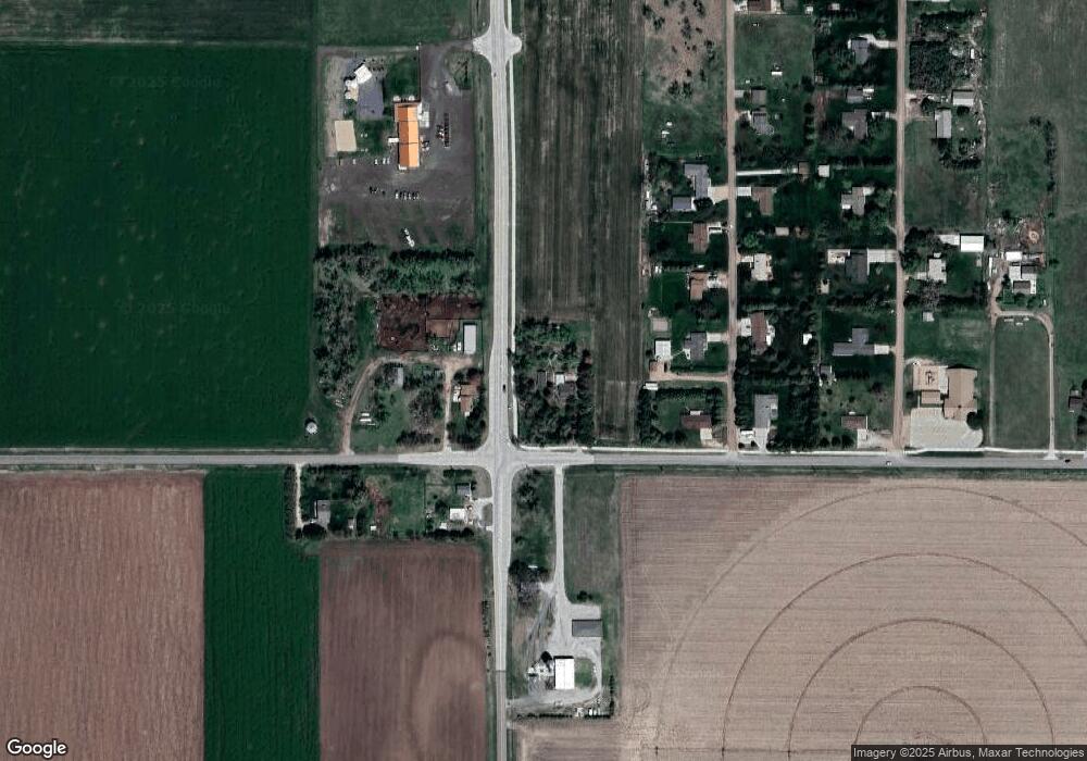
Map
Nearby Homes
- 2421 W State Farm Rd
- 2421 W State Farm Rd Unit North Platte NE 6910
- N Platte Unit NE 69101
- 0 S Buffalo Bill Development
- 0 Buffalo Triangle Frontage
- 0 State Farm Road Short Acreage W
- 0 State Farm Road Short Acreage E
- 0 N Buffalo Bill Grass
- 221 Prairie Rd
- 0 Unit 11584518
- 0 State Farm Road Long Acreage W
- 0 Unit Lot
- 602 Tomahawk Rd
- N Platte Unit NE 69101
- 0 State Farm Road Long Acreage E
- N Platte Unit NE 69101
- 0 N Platte Fremont Slough Development Unit 11573268
- 6740 Whisper Canyon Rd
- 2901 Goldenrod Ct
- 200 College Dr
- West W State Farm Rd
- 5421 S Buffalo Bill Ave
- 4902 S Buffalo Rd
- 2223 W State Farm Rd
- 4720 Valley Dr
- 4702 Valley Dr
- 4620 Valley Dr
- 0 Valley Dr
- 4801 Valley Dr
- 4721 Valley Dr
- 4610 Valley Dr
- 2540 W State Farm Rd
- 4701 Valley Dr
- 4621 Valley Dr
- 2101 W State Farm Rd
- 4720 Heritage Dr
- 4702 Heritage Dr
- 4601 Valley Dr
- 4620 Heritage Dr
- 4602 Heritage Dr