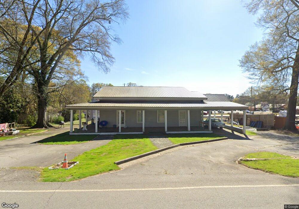
2353 N Broad St Commerce, GA 30529
Estimated Value: $273,000 - $359,000
Studio
2
Baths
1,930
Sq Ft
$165/Sq Ft
Est. Value
About This Home
This home is located at 2353 N Broad St, Commerce, GA 30529 and is currently estimated at $318,641, approximately $165 per square foot. 2353 N Broad St is a home with nearby schools including Commerce Primary School, Commerce Elementary School, and Commerce Middle School.
Ownership History
Date
Name
Owned For
Owner Type
Purchase Details
Closed on
Dec 21, 2017
Sold by
Wilson Donald L
Bought by
Cross In The Middle Llc
Current Estimated Value
Purchase Details
Closed on
Aug 15, 2011
Sold by
Holbrook Ann
Bought by
Dills Emily
Purchase Details
Closed on
Jul 18, 2000
Sold by
Beck Roy
Bought by
Holbrook Ann
Purchase Details
Closed on
Mar 18, 1976
Bought by
Beck Roy
Create a Home Valuation Report for This Property
The Home Valuation Report is an in-depth analysis detailing your home's value as well as a comparison with similar homes in the area
Home Values in the Area
Average Home Value in this Area
Purchase History
| Date | Buyer | Sale Price | Title Company |
|---|---|---|---|
| Cross In The Middle Llc | -- | -- | |
| Dills Emily | $31,000 | -- | |
| Holbrook Ann | $70,000 | -- | |
| Beck Roy | $15,000 | -- |
Source: Public Records
Tax History
| Year | Tax Paid | Tax Assessment Tax Assessment Total Assessment is a certain percentage of the fair market value that is determined by local assessors to be the total taxable value of land and additions on the property. | Land | Improvement |
|---|---|---|---|---|
| 2024 | $2,914 | $104,360 | $54,600 | $49,760 |
| 2023 | $2,881 | $97,720 | $54,600 | $43,120 |
| 2022 | $1,625 | $50,120 | $16,360 | $33,760 |
| 2021 | $1,622 | $50,120 | $16,360 | $33,760 |
| 2020 | $1,587 | $43,800 | $16,360 | $27,440 |
| 2019 | $1,610 | $43,800 | $16,360 | $27,440 |
| 2018 | $1,510 | $41,440 | $17,240 | $24,200 |
| 2017 | $1,499 | $40,416 | $17,250 | $23,166 |
| 2016 | $1,506 | $40,416 | $17,250 | $23,166 |
| 2015 | $1,277 | $33,498 | $10,332 | $23,166 |
| 2014 | $1,301 | $33,850 | $10,332 | $23,518 |
| 2013 | -- | $33,850 | $10,332 | $23,518 |
Source: Public Records
Map
Nearby Homes
- 2140 N Broad St
- 44 Troy St
- 0 Ridgeway St
- 304 Hill St
- 191 Orchard Cir
- 83 Ridgeway Dr
- 51 Pine Ave
- 245 Hospital Rd
- 321 Pine Ave
- 92 Duncan St Unit LOT 1 AND 2
- 8569 Jefferson Rd
- 178 Cole Court Dr
- 25 Beckett Way
- 31 Coles Court Dr
- 174 Cherry St
- 177 Bolton Dr
- 0 Martin Luther King Junior Dr Unit CL336436
- 0 Martin Luther King Junior Dr
- 64 College Ave
- 80 Baugh St
- 2353 N Elm St
- 2331 N Broad St
- 2370 N Broad St
- 2346 N Broad St
- 2305 N Broad St
- 2314 N Broad St
- 2355 N Elm St Unit 103
- 2355 N Elm St Unit 106
- 2355 N Elm St
- 2402 N Broad St
- 2415 N Broad St
- 84 Peach St
- 52 Forest Ave
- 68 Peach St
- 2414 N Broad St
- 2435 N Broad St
- 49 Forest Dr
- 49 Forest Ave
- 2311 N Elm St
- 2305 N Elm St
Your Personal Tour Guide
Ask me questions while you tour the home.