2353 Old Highway 62 Blanchard, OK 73010
West Blanchard NeighborhoodEstimated Value: $117,000 - $140,000
3
Beds
1
Bath
1,157
Sq Ft
$109/Sq Ft
Est. Value
About This Home
This home is located at 2353 Old Highway 62, Blanchard, OK 73010 and is currently estimated at $125,725, approximately $108 per square foot. 2353 Old Highway 62 is a home with nearby schools including Middleberg Public School.
Ownership History
Date
Name
Owned For
Owner Type
Purchase Details
Closed on
Feb 28, 2025
Sold by
Hampton Pamela
Bought by
Ronnie Lee Bogle Jr And Misty Marie Bogle Rev and Bogle
Current Estimated Value
Purchase Details
Closed on
Feb 26, 2025
Sold by
Hankins Cheri and Hankins Michael
Bought by
Ronnie Lee Bogle Jr And Misty Marie Bogle Rev and Bogle
Purchase Details
Closed on
Feb 25, 2025
Sold by
Keener Sandy and Keener Dennis
Bought by
Ronnie Lee Bogle Jr And Misty Marie Bogle Rev and Bogle
Purchase Details
Closed on
Feb 2, 2024
Sold by
Campbell Billy R
Bought by
Hampton Pamela and Harkins Cheri
Create a Home Valuation Report for This Property
The Home Valuation Report is an in-depth analysis detailing your home's value as well as a comparison with similar homes in the area
Home Values in the Area
Average Home Value in this Area
Purchase History
| Date | Buyer | Sale Price | Title Company |
|---|---|---|---|
| Ronnie Lee Bogle Jr And Misty Marie Bogle Rev | -- | First American Title | |
| Ronnie Lee Bogle Jr And Misty Marie Bogle Rev | -- | First American Title | |
| Ronnie Lee Bogle Jr And Misty Marie Bogle Rev | $121,000 | First American Title | |
| Hampton Pamela | -- | None Listed On Document |
Source: Public Records
Tax History Compared to Growth
Tax History
| Year | Tax Paid | Tax Assessment Tax Assessment Total Assessment is a certain percentage of the fair market value that is determined by local assessors to be the total taxable value of land and additions on the property. | Land | Improvement |
|---|---|---|---|---|
| 2025 | $139 | $2,736 | $894 | $1,842 |
| 2024 | $130 | $2,614 | $825 | $1,789 |
| 2023 | $130 | $2,538 | $762 | $1,776 |
| 2022 | $110 | $2,463 | $798 | $1,665 |
| 2021 | $107 | $2,392 | $775 | $1,617 |
| 2020 | $102 | $2,322 | $310 | $2,012 |
| 2019 | $92 | $2,256 | $305 | $1,951 |
| 2018 | $96 | $2,190 | $293 | $1,897 |
| 2017 | $90 | $2,126 | $284 | $1,842 |
| 2016 | $91 | $2,064 | $276 | $1,788 |
| 2015 | $75 | $2,004 | $266 | $1,738 |
| 2014 | $75 | $1,945 | $249 | $1,696 |
Source: Public Records
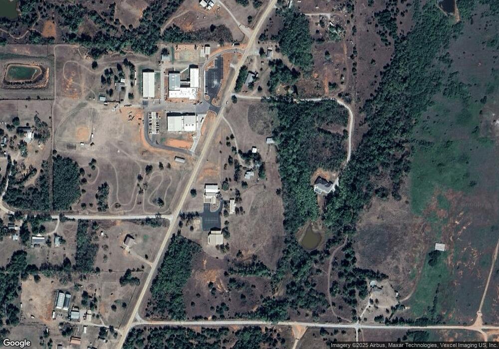
Map
Nearby Homes
- 1980 Twin Spires Trail
- 1989 Preakness Path
- 1987 Preakness Path
- 1988 Southern Trace Ln
- 2164 County Street 2950
- 1540 County Street 2960
- 1640 Cs 2960
- 2262 County Road 1314
- 1700 Cs 2960
- 1730 Cs 2960
- 0 Old Highway 62
- 2138 Feather Hill Ln
- 2141 Feather Hill Ln
- 2145 Feather Hill Ln
- 2142 Feather Hill Ln
- 2149 Feather Hill Ln
- 000 U S Highway 62
- 2155 Hux Dr
- 2146 Feather Hill Ln
- 2146 Hux Dr
- 2364 Old Highway 62
- 2392 Old Highway 62
- 2361 Old Highway 62
- 2374 Old Highway 62
- 2336 Old Highway 62
- 0 County Road 1320
- 2150 County Road 1320
- 2109 County Road 1319
- 2104 County Road 1319
- 2105 County Road 1319
- 0 Wyant Blvd Unit 907707
- 2151 County Road 1320
- 2384 Old Highway 62
- 1959 County Street 2950
- 0 0000-04-07n-05w-2-017-00 Hwy Unit 928961
- 2165 County Road 1320
- 2109 County Road 1314
- 0 Cmwyant Blvd Unit 1028569
- 0 Cmwyant Blvd Unit 996874
- 0 Cmwyant Blvd Unit 959468