23530 Colledge Ln Bozman, MD 21612
Estimated Value: $1,491,948 - $1,627,000
Studio
1
Bath
2,655
Sq Ft
$585/Sq Ft
Est. Value
About This Home
This home is located at 23530 Colledge Ln, Bozman, MD 21612 and is currently estimated at $1,552,983, approximately $584 per square foot. 23530 Colledge Ln is a home located in Talbot County with nearby schools including St. Michaels Elementary School, St. Michaels Middle/High School, and Easton High School.
Ownership History
Date
Name
Owned For
Owner Type
Purchase Details
Closed on
Oct 17, 2007
Sold by
Colledge Charles E
Bought by
Colledge Charles E
Current Estimated Value
Purchase Details
Closed on
May 16, 2007
Sold by
Colledge Charles E
Bought by
Colledge Charles E
Purchase Details
Closed on
Sep 17, 2003
Sold by
Colledge Family Limited
Bought by
Colledge Charles E
Purchase Details
Closed on
Apr 11, 1997
Sold by
Colledge Margaret W
Bought by
Colledge Family Lmtd Ptnshp
Purchase Details
Closed on
Aug 22, 1994
Sold by
Colledge Charles H
Bought by
Colledge Margaret W
Create a Home Valuation Report for This Property
The Home Valuation Report is an in-depth analysis detailing your home's value as well as a comparison with similar homes in the area
Purchase History
| Date | Buyer | Sale Price | Title Company |
|---|---|---|---|
| Colledge Charles E | -- | -- | |
| Colledge Charles E | -- | -- | |
| Colledge Charles E | -- | -- | |
| Colledge Family Lmtd Ptnshp | -- | -- | |
| Colledge Family Lmtd Ptnshp | -- | -- | |
| Colledge Margaret W | -- | -- |
Source: Public Records
Tax History
| Year | Tax Paid | Tax Assessment Tax Assessment Total Assessment is a certain percentage of the fair market value that is determined by local assessors to be the total taxable value of land and additions on the property. | Land | Improvement |
|---|---|---|---|---|
| 2025 | $7,497 | $963,600 | $709,500 | $254,100 |
| 2024 | $7,367 | $934,100 | $0 | $0 |
| 2023 | $6,957 | $904,600 | $0 | $0 |
| 2022 | $6,438 | $875,100 | $694,100 | $181,000 |
| 2021 | $6,041 | $850,800 | $0 | $0 |
| 2020 | $6,041 | $826,500 | $0 | $0 |
| 2019 | $5,822 | $775,700 | $608,700 | $167,000 |
| 2018 | $5,630 | $775,700 | $608,700 | $167,000 |
| 2017 | $5,356 | $775,700 | $0 | $0 |
| 2016 | $5,348 | $838,600 | $0 | $0 |
| 2015 | $4,771 | $838,600 | $0 | $0 |
| 2014 | $4,771 | $838,600 | $0 | $0 |
Source: Public Records
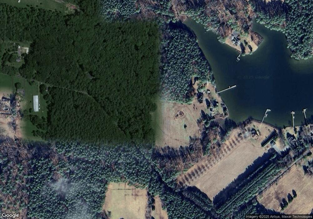
Map
Nearby Homes
- 8034 Bozman Neavitt Rd
- 23857 Ebb Point Rd
- 7508 Cooper Point Rd
- 23961 Lynnewood Dr
- 23869 Mount Misery Rd
- 8620 Bozman Neavitt Rd
- 7090 Cooper Point Rd
- 24390 Oakwood Park Rd
- 22707 Marshall Ln
- 117 Chesapeake Ave
- 114 W Chestnut St
- 111 Gloria Ave
- 938 Marea Terrace
- 107 W Chestnut St
- 216 Brooks Ln
- 8784 Cummings Rd
- 8805 Cummings Rd
- 106 E Chestnut St
- 101 Mulberry St
- 209 Webb Ln
- 23511 Colledge Ln
- 7869 Quaker Neck Rd
- 7773 Quaker Neck Rd
- 7871 Quaker Neck Rd
- 7749 Quaker Neck Rd
- 7878 Quaker Neck Rd
- 7881 Quaker Neck Rd
- 7747 Quaker Neck Rd
- 7722 Latchstring Ln
- 23505 Bozman Rd
- 7889 Quaker Neck Rd
- 7886 Quaker Neck Rd
- 7739 Quaker Neck Rd
- 23505 Bozman Neavitt Rd
- 7798 Quaker Neck Rd
- 7861 Cooper Point Rd
- 7835 Cooper Point Rd
- 7890 Quaker Neck Rd
- 7693 Latchstring Ln
- 7711 Quaker Neck Rd
Your Personal Tour Guide
Ask me questions while you tour the home.