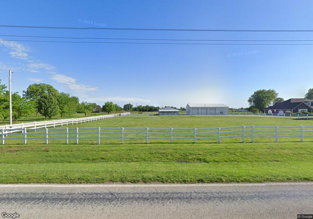
23535 W Highway 12 Gentry, AR 72734
Estimated Value: $738,000 - $835,000
4
Beds
5
Baths
3,514
Sq Ft
$224/Sq Ft
Est. Value
About This Home
This home is located at 23535 W Highway 12, Gentry, AR 72734 and is currently estimated at $787,424, approximately $224 per square foot. 23535 W Highway 12 is a home located in Benton County with nearby schools including Gentry Intermediate School, Gentry Primary School, and Gentry Middle School.
Ownership History
Date
Name
Owned For
Owner Type
Purchase Details
Closed on
Oct 8, 2024
Sold by
Clark Micheal and Micheal And Daisy Clark Living Trust
Bought by
Forrest Lori L
Current Estimated Value
Home Financials for this Owner
Home Financials are based on the most recent Mortgage that was taken out on this home.
Original Mortgage
$490,000
Outstanding Balance
$484,849
Interest Rate
6.35%
Mortgage Type
New Conventional
Estimated Equity
$302,575
Purchase Details
Closed on
Sep 19, 2012
Sold by
Clark Michael and Clark Daisy
Bought by
Clark Michael and Clark Daisy
Purchase Details
Closed on
Oct 24, 2007
Sold by
Cox Paul L
Bought by
Clark Michael D and Clark Daisy I
Purchase Details
Closed on
Sep 29, 1994
Bought by
Cox Tr
Create a Home Valuation Report for This Property
The Home Valuation Report is an in-depth analysis detailing your home's value as well as a comparison with similar homes in the area
Home Values in the Area
Average Home Value in this Area
Purchase History
| Date | Buyer | Sale Price | Title Company |
|---|---|---|---|
| Forrest Lori L | $730,000 | None Listed On Document | |
| Clark Michael | -- | None Available | |
| Clark Michael D | $496,000 | Stewart Title Co Of Ar Inc | |
| Cox Tr | $17,000 | -- |
Source: Public Records
Mortgage History
| Date | Status | Borrower | Loan Amount |
|---|---|---|---|
| Open | Forrest Lori L | $490,000 |
Source: Public Records
Tax History Compared to Growth
Tax History
| Year | Tax Paid | Tax Assessment Tax Assessment Total Assessment is a certain percentage of the fair market value that is determined by local assessors to be the total taxable value of land and additions on the property. | Land | Improvement |
|---|---|---|---|---|
| 2025 | $7,324 | $143,050 | $10,647 | $132,403 |
| 2024 | $3,367 | $143,050 | $10,647 | $132,403 |
| 2023 | $3,061 | $88,110 | $6,080 | $82,030 |
| 2022 | $2,881 | $88,110 | $6,080 | $82,030 |
| 2021 | $2,873 | $88,110 | $6,080 | $82,030 |
| 2020 | $2,875 | $72,140 | $3,330 | $68,810 |
| 2019 | $2,875 | $72,140 | $3,330 | $68,810 |
| 2018 | $2,899 | $72,140 | $3,330 | $68,810 |
| 2017 | $2,899 | $72,140 | $3,330 | $68,810 |
| 2016 | $2,899 | $72,760 | $7,080 | $65,680 |
| 2015 | $3,050 | $60,990 | $5,060 | $55,930 |
| 2014 | $2,700 | $60,990 | $5,060 | $55,930 |
Source: Public Records
Map
Nearby Homes
- 23540 Arkansas 12
- 23963 Floyd Moore Rd
- 11419 Cripps Rd
- 0000 Cripps Rd
- 22844 Floyd Moore Rd
- 0 Ruby Hall Rd Unit 1296833
- 0 Ruby Hall Rd Unit 25-289
- TBD N Bloomfield Rd
- 10302 Bloomfield North Rd
- 12007 Swepco Lake Rd
- TBD Swepco Lake Rd
- 0 Swepco Lake Rd Unit 1327398
- 0 Swepco Lake Rd Unit 1327399
- 0 Swepco Lake Rd Unit 1327400
- 11230 John Zodrow Rd
- 21944 Arkansas 12
- 22.56 Acres Floyd Moore Rd
- TBD East Floyd Moore Rd
- TBD west Floyd Moore Rd
- . Floyd Moore Rd
- 23619 W Highway 12
- 23619 Arkansas 12
- 23540 W Highway 12
- 11183 Ruby Hall Rd
- 11190 Ruby Hall Rd
- 23601 W Highway 12
- 23481 W Highway 12
- 23480 W Highway 12
- 23480 W Highway 12
- 23607 W Highway 12
- 23460 W Highway 12
- 11309 Morris Maxwell Ln
- 10998 Ruby Hall Rd
- 23418 W Highway 12
- 23697 W Highway 12
- 23697 W Hwy 12
- 000 S Morris Maxwell Rd
- 00 Morris Maxwell Rd
- 23378 W Highway 12
- 11354 Morris Maxwell Ln