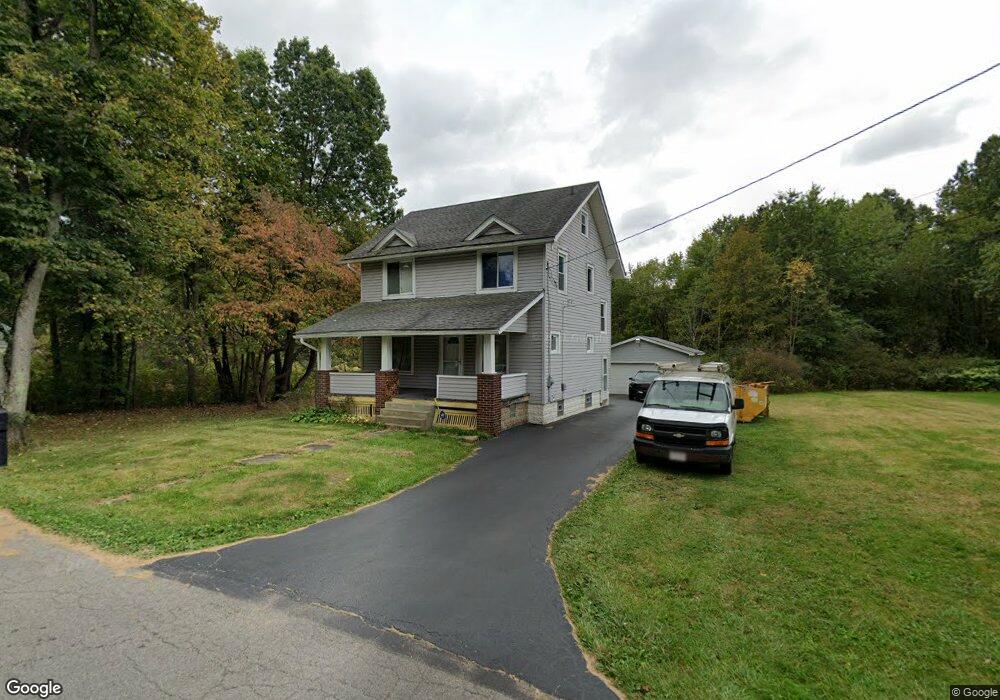
2355 Bott St Youngstown, OH 44505
Landsdowne NeighborhoodEstimated Value: $60,212 - $83,000
3
Beds
1
Bath
1,430
Sq Ft
$51/Sq Ft
Est. Value
About This Home
This home is located at 2355 Bott St, Youngstown, OH 44505 and is currently estimated at $72,803, approximately $50 per square foot. 2355 Bott St is a home located in Mahoning County with nearby schools including M.L. King Elementary School, Williamson Elementary School, and East High School.
Ownership History
Date
Name
Owned For
Owner Type
Purchase Details
Closed on
Jan 6, 1994
Bought by
Mckinney James O
Current Estimated Value
Create a Home Valuation Report for This Property
The Home Valuation Report is an in-depth analysis detailing your home's value as well as a comparison with similar homes in the area
Home Values in the Area
Average Home Value in this Area
Purchase History
We collect this data history from publicly available records. To have your information removed, we recommend requesting removal directly through your county’s website.
| Date | Buyer | Sale Price | Title Company |
|---|---|---|---|
| Mckinney James O | -- | -- |
Source: Public Records
Tax History
| Year | Tax Paid | Tax Assessment Tax Assessment Total Assessment is a certain percentage of the fair market value that is determined by local assessors to be the total taxable value of land and additions on the property. | Land | Improvement |
|---|---|---|---|---|
| 2025 | $311 | $7,370 | $350 | $7,020 |
| 2024 | $353 | $7,370 | $350 | $7,020 |
| 2023 | $350 | $7,370 | $350 | $7,020 |
| 2022 | $226 | $3,640 | $300 | $3,340 |
| 2021 | $226 | $3,640 | $300 | $3,340 |
| 2020 | $227 | $3,640 | $300 | $3,340 |
| 2019 | $237 | $3,370 | $280 | $3,090 |
| 2018 | $239 | $3,370 | $280 | $3,090 |
| 2017 | $236 | $3,370 | $280 | $3,090 |
| 2016 | $271 | $4,170 | $280 | $3,890 |
| 2015 | $265 | $4,170 | $280 | $3,890 |
| 2014 | $264 | $4,170 | $280 | $3,890 |
| 2013 | $260 | $4,170 | $280 | $3,890 |
Source: Public Records
Map
Nearby Homes
- 1003 Liberty Rd
- 821 Colby Ave
- 819 Lyden Ave
- 2849 McGuffey Rd
- 2502 Stocker Ave
- 2526 Stocker Ave
- 0 Ridley Ave Unit 5210638
- 836 Stiles Ave
- 0 Stewart Ave
- 1612 Jacobs Rd
- 1214 Brighton St
- 1720 Jacobs Rd
- 603 Liberty Rd
- 1251 Jacobs Rd
- 557 Sunshine Ave
- V/L Jacobs Rd
- 2051 Blair Ave
- 0 Homestead Rd
- 1945 Nair St
- V/L Hubbard Rd
Your Personal Tour Guide
Ask me questions while you tour the home.