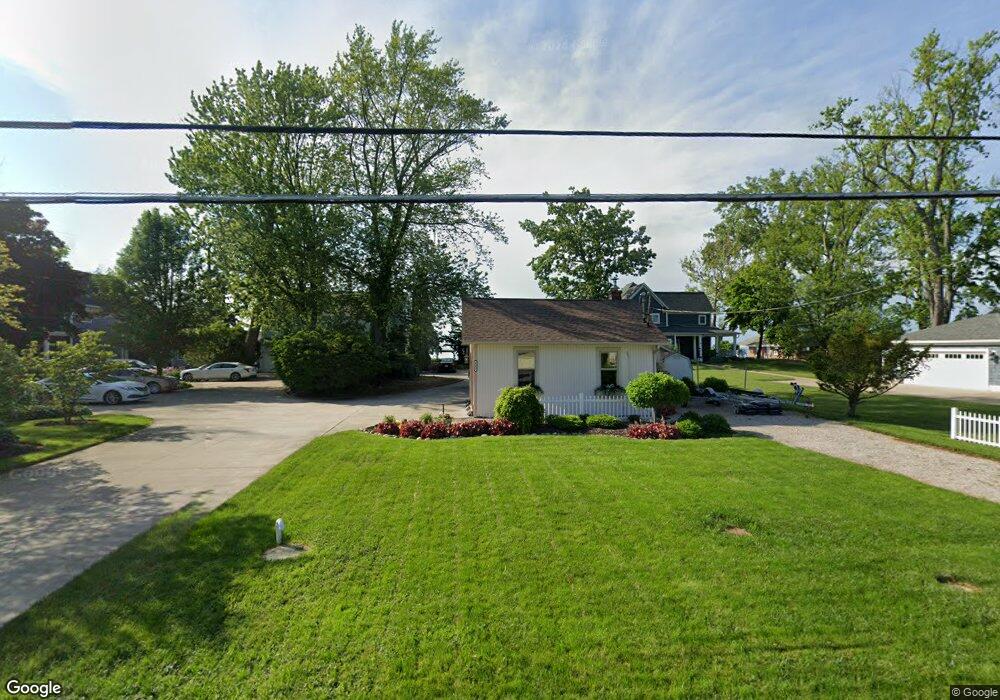
2355 E Sand Rd Unit B Port Clinton, OH 43452
Estimated Value: $321,000 - $503,000
2
Beds
3
Baths
1,390
Sq Ft
$297/Sq Ft
Est. Value
About This Home
This home is located at 2355 E Sand Rd Unit B, Port Clinton, OH 43452 and is currently estimated at $412,768, approximately $296 per square foot. 2355 E Sand Rd Unit B is a home located in Ottawa County with nearby schools including Bataan Memorial Primary School, Bataan Memorial Intermediate School, and Port Clinton Middle School.
Ownership History
Date
Name
Owned For
Owner Type
Purchase Details
Closed on
Oct 15, 2003
Sold by
Schaefer Jacqueline M
Bought by
Waluzak Michael D and Shaw Bethany A
Current Estimated Value
Home Financials for this Owner
Home Financials are based on the most recent Mortgage that was taken out on this home.
Original Mortgage
$185,000
Interest Rate
6.49%
Mortgage Type
Purchase Money Mortgage
Purchase Details
Closed on
Mar 23, 1992
Sold by
Schaefer Richard
Bought by
Schaefer Richard J
Create a Home Valuation Report for This Property
The Home Valuation Report is an in-depth analysis detailing your home's value as well as a comparison with similar homes in the area
Home Values in the Area
Average Home Value in this Area
Purchase History
| Date | Buyer | Sale Price | Title Company |
|---|---|---|---|
| Waluzak Michael D | $297,500 | -- | |
| Waluzak Michael D | $297,500 | Firelands | |
| Schaefer Richard J | -- | -- |
Source: Public Records
Mortgage History
| Date | Status | Borrower | Loan Amount |
|---|---|---|---|
| Closed | Waluzak Michael D | $185,000 |
Source: Public Records
Tax History Compared to Growth
Tax History
| Year | Tax Paid | Tax Assessment Tax Assessment Total Assessment is a certain percentage of the fair market value that is determined by local assessors to be the total taxable value of land and additions on the property. | Land | Improvement |
|---|---|---|---|---|
| 2024 | $4,697 | $136,784 | $81,200 | $55,584 |
| 2023 | $4,697 | $99,323 | $50,750 | $48,573 |
| 2022 | $3,714 | $99,323 | $50,750 | $48,573 |
| 2021 | $3,709 | $99,320 | $50,750 | $48,570 |
| 2020 | $3,041 | $78,180 | $35,000 | $43,180 |
| 2019 | $3,013 | $78,180 | $35,000 | $43,180 |
| 2018 | $2,898 | $78,180 | $35,000 | $43,180 |
| 2017 | $2,897 | $76,920 | $35,000 | $41,920 |
| 2016 | $2,904 | $76,920 | $35,000 | $41,920 |
| 2015 | $2,915 | $76,920 | $35,000 | $41,920 |
| 2014 | $1,471 | $76,920 | $35,000 | $41,920 |
| 2013 | $2,950 | $76,920 | $35,000 | $41,920 |
Source: Public Records
Map
Nearby Homes
- 2350 E Sand Rd
- 2348 E Sand Rd
- 2130 E Sand Rd
- 2656 E Harbor Rd Unit D-3
- 2656 E Harbor Rd Unit D-2
- 2656 E Harbor Rd Unit D-1
- 2322 E State Rd Unit 12
- 19 N Beach St
- 12 N Beach St
- 680 S Plasterbed Rd Unit 4-7
- 146 N Harbors End Dr Unit 21A
- 2817 E Harbor Rd
- 3500 Woodhill Dr
- 2650 E Harbor Rd
- 0 E Harbor Rd
- 2006 E Harbor Rd
- 3720 E Aqua Aire Dr Unit 138
- 764 SE Catawba Rd Unit 109
- 764 SE Catawba Rd Unit 98
- 764 SE Catawba Rd Unit 115
- 2355 E Sand Rd Unit A
- 2355 E Sand Rd
- 2355 E Sand Rd Unit C
- 2353 E Sand Rd
- 2353 E Sand Rd Unit A
- 2359 E Sand Rd
- 2351 E Sand Rd
- 2363 E Sand Rd
- 2365 E Sand Rd
- 2349 E Sand Rd
- 2367 E Sand Rd
- 2345 E Sand Rd
- 2369 E Sand Rd
- 2364 E Sand Rd
- 2352 E Sand Rd
- 2358 E Sand Rd
- 2343 E Sand Rd
- 2341 E Sand Rd
- 2339 E Sand Rd
- 2354 E Sand Rd