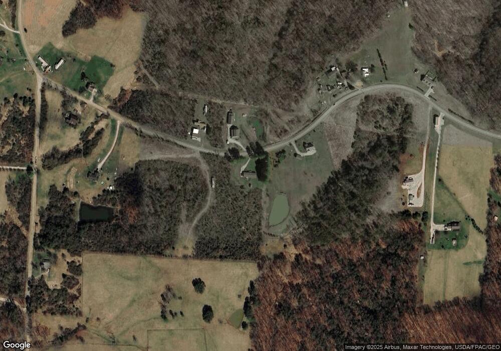
2355 Federal Rd Little Hocking, OH 45742
Estimated Value: $189,000 - $263,000
3
Beds
2
Baths
2,052
Sq Ft
$115/Sq Ft
Est. Value
About This Home
This home is located at 2355 Federal Rd, Little Hocking, OH 45742 and is currently estimated at $236,580, approximately $115 per square foot. 2355 Federal Rd is a home with nearby schools including Warren High School.
Ownership History
Date
Name
Owned For
Owner Type
Purchase Details
Closed on
Sep 16, 2004
Bought by
Gorham Paula G
Current Estimated Value
Purchase Details
Closed on
Mar 10, 2004
Bought by
Wilfong David and Wilfong Beverly
Purchase Details
Closed on
Oct 17, 2003
Bought by
Riggs Harold Wade
Purchase Details
Closed on
Feb 24, 1992
Bought by
Riggs Harold Wade and Riggs Lind
Purchase Details
Closed on
Oct 9, 1986
Create a Home Valuation Report for This Property
The Home Valuation Report is an in-depth analysis detailing your home's value as well as a comparison with similar homes in the area
Home Values in the Area
Average Home Value in this Area
Purchase History
| Date | Buyer | Sale Price | Title Company |
|---|---|---|---|
| Gorham Paula G | $19,500 | -- | |
| Wilfong David | $16,400 | -- | |
| Riggs Harold Wade | -- | -- | |
| Riggs Harold Wade | $13,500 | -- | |
| -- | -- | -- |
Source: Public Records
Tax History Compared to Growth
Tax History
| Year | Tax Paid | Tax Assessment Tax Assessment Total Assessment is a certain percentage of the fair market value that is determined by local assessors to be the total taxable value of land and additions on the property. | Land | Improvement |
|---|---|---|---|---|
| 2024 | $2,149 | $53,220 | $5,200 | $48,020 |
| 2023 | $2,149 | $53,220 | $5,200 | $48,020 |
| 2022 | $2,140 | $53,220 | $5,200 | $48,020 |
| 2021 | $2,120 | $50,260 | $3,350 | $46,910 |
| 2020 | $1,987 | $50,260 | $3,350 | $46,910 |
| 2019 | $1,959 | $50,260 | $3,350 | $46,910 |
| 2018 | $1,766 | $44,010 | $2,910 | $41,100 |
| 2017 | $1,757 | $44,010 | $2,910 | $41,100 |
| 2016 | $2,174 | $44,010 | $2,910 | $41,100 |
| 2015 | $1,318 | $36,810 | $2,820 | $33,990 |
| 2014 | $1,839 | $36,810 | $2,820 | $33,990 |
| 2013 | $1,278 | $36,810 | $2,820 | $33,990 |
Source: Public Records
Map
Nearby Homes
- 6750 O'Neil Rd
- 5595 N Torch Rd
- 0 N Torch Rd
- 29500 Houston Rd
- 0 Murphy Rd Unit 2431698
- 0 Houston Rd
- 0 Houston Rd
- 1175 Collins Rd
- 464 Cave Hill Rd
- 0 T1309
- 2500 Robert Kelly Rd
- 000 Newbury Rd
- 4278 Newbury Rd
- 1421 Hocking Rd
- 0 Newberry Rd Unit 4279424
- 0 Mountain Bell Rd Unit 2434025
- 00 Orchard Dr
- 2750 Walden St
- 2776 Ohio 144
- 2340 Federal Rd
- 2289 Federal Rd
- 2220 Federal Rd
- 2180 Federal Rd
- 2538 Federal Rd
- 2103 Federal Rd
- 2103 Federal Rd
- 2120 Federal Rd
- 2525 Federal Rd
- 6750 Oneil Rd
- 2677 Federal Rd
- 2050 Federal Rd
- 7265 Oneil Rd
- 1975 Federal Rd
- 5998 Ireland Rd
- 1962 Federal Rd
- 1911 Federal Rd
- 2770 Federal Rd
- 1950 Federal Rd
- 6368 Federal Rd
