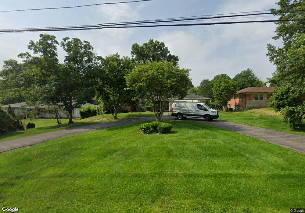
2355 Section Rd Cincinnati, OH 45237
Estimated Value: $389,000 - $636,000
3
Beds
3
Baths
2,478
Sq Ft
$191/Sq Ft
Est. Value
About This Home
This home is located at 2355 Section Rd, Cincinnati, OH 45237 and is currently estimated at $473,313, approximately $191 per square foot. 2355 Section Rd is a home located in Hamilton County with nearby schools including Pleasant Ridge Montessori School, Shroder High School, and Clark Montessori High School.
Ownership History
Date
Name
Owned For
Owner Type
Purchase Details
Closed on
Aug 10, 1992
Sold by
Diana G
Bought by
Trevino Jose C
Current Estimated Value
Create a Home Valuation Report for This Property
The Home Valuation Report is an in-depth analysis detailing your home's value as well as a comparison with similar homes in the area
Home Values in the Area
Average Home Value in this Area
Purchase History
| Date | Buyer | Sale Price | Title Company |
|---|---|---|---|
| Trevino Jose C | $195,000 | -- |
Source: Public Records
Tax History
| Year | Tax Paid | Tax Assessment Tax Assessment Total Assessment is a certain percentage of the fair market value that is determined by local assessors to be the total taxable value of land and additions on the property. | Land | Improvement |
|---|---|---|---|---|
| 2025 | $6,698 | $121,223 | $22,463 | $98,760 |
| 2024 | $6,498 | $121,223 | $22,463 | $98,760 |
| 2023 | $6,694 | $121,223 | $22,463 | $98,760 |
| 2022 | $5,296 | $85,586 | $18,134 | $67,452 |
| 2021 | $5,145 | $85,586 | $18,134 | $67,452 |
| 2020 | $5,242 | $85,586 | $18,134 | $67,452 |
| 2019 | $5,036 | $75,741 | $16,048 | $59,693 |
| 2018 | $5,046 | $75,741 | $16,048 | $59,693 |
| 2017 | $4,810 | $75,741 | $16,048 | $59,693 |
| 2016 | $4,046 | $62,860 | $14,280 | $48,580 |
| 2015 | $3,677 | $62,860 | $14,280 | $48,580 |
| 2014 | $3,704 | $62,860 | $14,280 | $48,580 |
| 2013 | $4,040 | $66,871 | $15,190 | $51,681 |
Source: Public Records
Map
Nearby Homes
- 6770 Elbrook Ave
- 6750 Elbrook Ave
- 2606 Section Rd
- 2344 Losantiville Ave
- 2537 Vera Ave
- 2539 Vera Ave
- 2541 Vera Ave
- 2543 Vera Ave
- 6402 Mayflower Ave
- 2507 Kellerman Ave
- 2436 Bremont Ave
- 2526 Bremont Ave
- 7119 Eastlawn Dr
- 1622 Shenandoah Ave
- 6537 Cliff Ridge Ln
- 1808 Crest Hill Ave
- 6411 Girard Ave
- 6211 Mayflower Ave
- 6202 Mayflower Ave
- 6408 Girard Ave
- 2345 Section Rd
- 2365 Section Rd
- 2335 Section Rd
- 2375 Section Rd
- 2329 Section Rd
- 6820 Meadow Ridge Ln
- 6830 Meadow Ridge Ln
- 6815 W Farm Acres Dr
- 6825 W Farm Acres Dr
- 2340 Section Rd
- 2323 Section Rd
- 2330 Section Rd
- 6885 Farm Acres Dr
- 2360 Section Rd
- 2328 Section Rd
- 6840 Meadow Ridge Ln
- 6810 Meadow Ridge Ln
- 2326 Section Rd
- 2380 Section Rd
- 2317 Section Rd
Your Personal Tour Guide
Ask me questions while you tour the home.