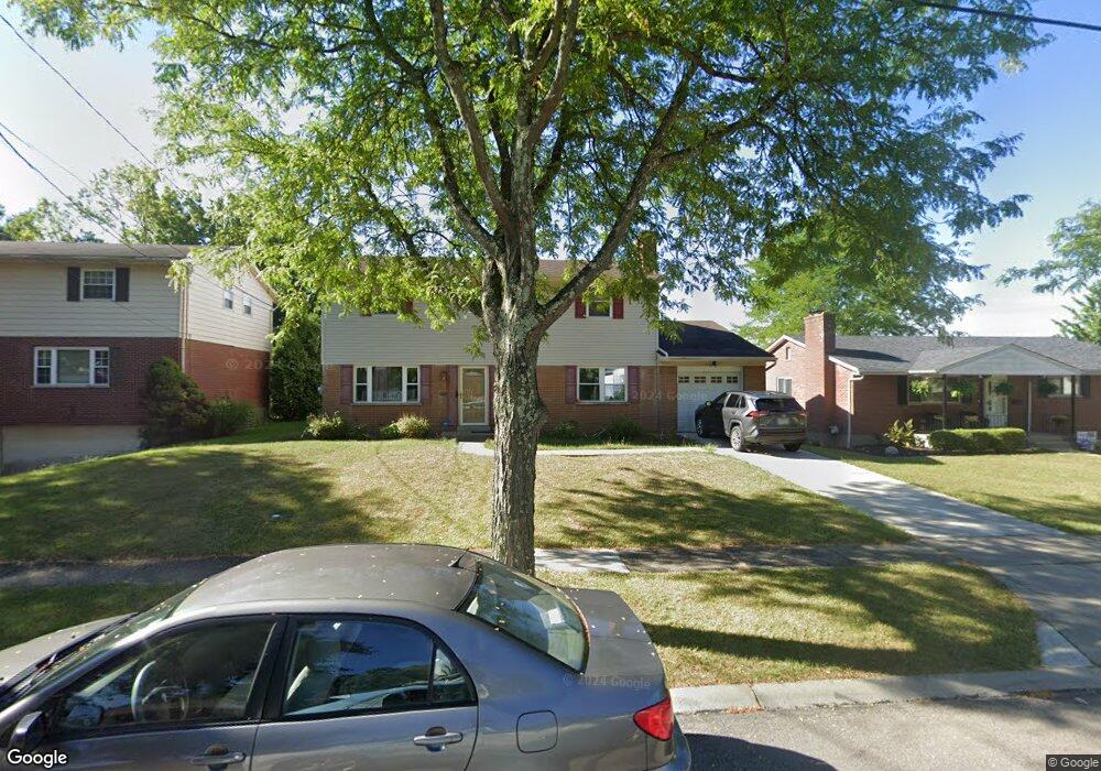
2355 Whitewood Ln Cincinnati, OH 45239
Mount Airy NeighborhoodEstimated Value: $245,674 - $265,000
4
Beds
3
Baths
1,872
Sq Ft
$136/Sq Ft
Est. Value
About This Home
This home is located at 2355 Whitewood Ln, Cincinnati, OH 45239 and is currently estimated at $255,419, approximately $136 per square foot. 2355 Whitewood Ln is a home located in Hamilton County with nearby schools including Mt. Airy Elementary School, Western Hills High School, and Gilbert A. Dater High School.
Ownership History
Date
Name
Owned For
Owner Type
Purchase Details
Closed on
Mar 31, 2006
Sold by
Perkins Richard A and Perkins Rosina E
Bought by
Alade Timothy O and Alade Comfort T
Current Estimated Value
Home Financials for this Owner
Home Financials are based on the most recent Mortgage that was taken out on this home.
Original Mortgage
$140,000
Interest Rate
6.33%
Mortgage Type
Fannie Mae Freddie Mac
Create a Home Valuation Report for This Property
The Home Valuation Report is an in-depth analysis detailing your home's value as well as a comparison with similar homes in the area
Home Values in the Area
Average Home Value in this Area
Purchase History
| Date | Buyer | Sale Price | Title Company |
|---|---|---|---|
| Alade Timothy O | $140,000 | Fidelity Land Title Agency O |
Source: Public Records
Mortgage History
| Date | Status | Borrower | Loan Amount |
|---|---|---|---|
| Closed | Alade Timothy O | $140,000 |
Source: Public Records
Tax History
| Year | Tax Paid | Tax Assessment Tax Assessment Total Assessment is a certain percentage of the fair market value that is determined by local assessors to be the total taxable value of land and additions on the property. | Land | Improvement |
|---|---|---|---|---|
| 2025 | $4,100 | $66,402 | $9,758 | $56,644 |
| 2023 | $4,066 | $66,402 | $9,758 | $56,644 |
| 2022 | $2,565 | $37,457 | $8,050 | $29,407 |
| 2021 | $2,464 | $37,457 | $8,050 | $29,407 |
| 2020 | $2,536 | $37,457 | $8,050 | $29,407 |
| 2019 | $2,390 | $32,292 | $6,941 | $25,351 |
| 2018 | $2,394 | $32,292 | $6,941 | $25,351 |
| 2017 | $2,274 | $32,292 | $6,941 | $25,351 |
| 2016 | $3,017 | $42,298 | $7,592 | $34,706 |
| 2015 | $2,721 | $42,298 | $7,592 | $34,706 |
| 2014 | $2,740 | $42,298 | $7,592 | $34,706 |
| 2013 | $3,028 | $45,976 | $8,253 | $37,723 |
Source: Public Records
Map
Nearby Homes
- 2237 Sweetbriar Ln
- 5921 Monticello Ave
- 2235 W North Bend Rd
- 2611 Allaire Ave
- 2603 Kipling Ave
- 2715 W North Bend Rd
- 2503 Flanigan Ct
- 5258 Shepherd Creek Rd
- 6381 Golfway Dr
- 1961 Connecticut Ave
- 2528 Flanigan Ct
- 5587 Vogel Rd
- 2342 Banning Rd
- 5970 Colerain Ave
- 1963 W North Bend Rd
- 2872 Roseann Ln
- 2125 Mckinley Ave
- 2405 Amelia Ct
- 2730 Byrneside Dr
- 2424 Banning Rd
- 2349 Whitewood Ln
- 2361 Whitewood Ln
- 2352 Harrywood Ct
- 2365 Whitewood Ln
- 2345 Whitewood Ln
- 2358 Harrywood Ct
- 2346 Harrywood Ct
- 2362 Harrywood Ct
- 2354 Whitewood Ln
- 2342 Harrywood Ct
- 2360 Whitewood Ln
- 2371 Whitewood Ln
- 2348 Whitewood Ln
- 2341 Whitewood Ln
- 2379 Whitewood Ln
- 2364 Whitewood Ln
- 2344 Whitewood Ln
- 2368 Harrywood Ct
- 2342 Whitewood Ln
- 2336 Harrywood Ct
Your Personal Tour Guide
Ask me questions while you tour the home.