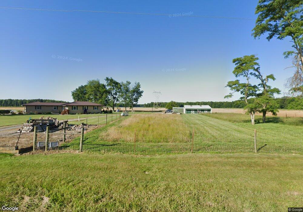
2356 State Route 321 Sardinia, OH 45171
Estimated Value: $286,000 - $421,000
4
Beds
3
Baths
1,968
Sq Ft
$168/Sq Ft
Est. Value
About This Home
This home is located at 2356 State Route 321, Sardinia, OH 45171 and is currently estimated at $331,028, approximately $168 per square foot. 2356 State Route 321 is a home located in Highland County with nearby schools including Bright Elementary School, Whiteoak Junior High School, and Whiteoak High School.
Ownership History
Date
Name
Owned For
Owner Type
Purchase Details
Closed on
Jan 1, 1990
Bought by
Michael John R and Michael Diane C
Current Estimated Value
Create a Home Valuation Report for This Property
The Home Valuation Report is an in-depth analysis detailing your home's value as well as a comparison with similar homes in the area
Home Values in the Area
Average Home Value in this Area
Purchase History
| Date | Buyer | Sale Price | Title Company |
|---|---|---|---|
| Michael John R | -- | -- |
Source: Public Records
Tax History Compared to Growth
Tax History
| Year | Tax Paid | Tax Assessment Tax Assessment Total Assessment is a certain percentage of the fair market value that is determined by local assessors to be the total taxable value of land and additions on the property. | Land | Improvement |
|---|---|---|---|---|
| 2024 | $2,224 | $80,470 | $12,950 | $67,520 |
| 2023 | $2,224 | $56,460 | $10,680 | $45,780 |
| 2022 | $1,726 | $56,460 | $10,680 | $45,780 |
| 2021 | $1,729 | $56,460 | $10,680 | $45,780 |
| 2020 | $1,545 | $49,080 | $9,280 | $39,800 |
| 2019 | $1,533 | $49,080 | $9,280 | $39,800 |
| 2018 | $1,482 | $49,080 | $9,280 | $39,800 |
| 2017 | $1,423 | $45,650 | $8,860 | $36,790 |
| 2016 | $1,424 | $45,650 | $8,860 | $36,790 |
| 2015 | $1,424 | $45,650 | $8,860 | $36,790 |
| 2014 | $1,415 | $43,270 | $8,230 | $35,040 |
| 2013 | $1,385 | $43,270 | $8,230 | $35,040 |
Source: Public Records
Map
Nearby Homes
- 0 Duncanson Rd Unit 24557375
- 0 Duncanson Rd Unit 24555971
- 838 Bells Run Rd
- 689 Duncanson Rd
- 0 Duncanson Rd Unit 5150881
- 0 Duncanson Rd Unit 5150848
- 25 S Taylorsville Rd
- 23 S Taylorsville Rd
- 0 W Diehl Ave
- 0 N St Rt 32 Unit 1745639
- Ac Bachman Rd
- 1 Duncanson Rd
- 0 Horse Shoe Dr Unit 1857810
- 874 Waynoka Dr
- 159 Sardinia-Mowrystown Rd
- 175 Winchester St
- 6 Mohican Cove
- 0 Creek - Lot# 2795 Dr Unit 1803735
- 1656 S Waynoka
- 0 Mochican Cove Unit 1833148
- 2335 State Route 321
- 2305 Marconette Rd
- 2305 Marconette Rd
- 2325 Marconette Rd
- 1996 Ohio 321
- 2361 Marconette Rd
- 2361 Marconette Rd
- 2341 Marconette Rd
- 2240 State Route 321
- 2425 State Route 321
- 2110 State Route 321
- 2581 State Route 321
- 2091 State Route 321
- 2079 State Route 321
- 2079 State Route 321
- 2080 State Route 321
- 2670 State Route 321
- 2601 Marconette Rd
- 1730 Gath South Rd
- 1996 St Rt 321