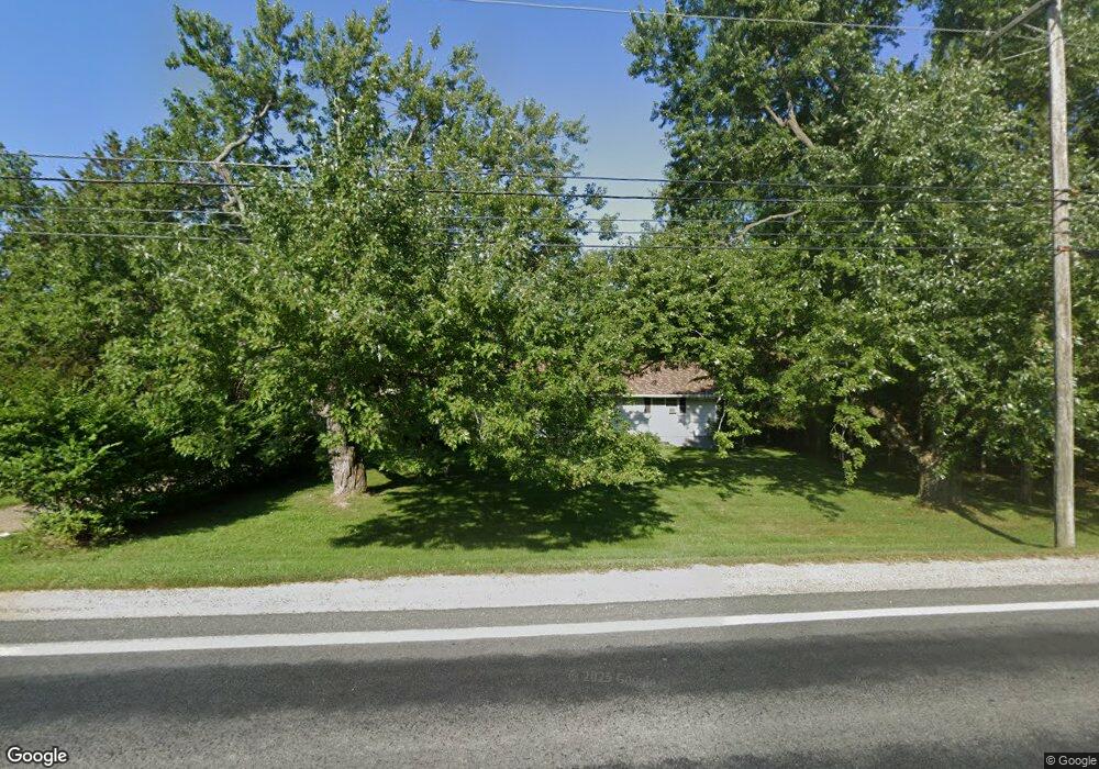
2357 Baker Rd Dexter, MI 48130
Estimated Value: $318,000 - $372,000
Studio
1
Bath
1,554
Sq Ft
$228/Sq Ft
Est. Value
About This Home
This home is located at 2357 Baker Rd, Dexter, MI 48130 and is currently estimated at $354,468, approximately $228 per square foot. 2357 Baker Rd is a home located in Washtenaw County with nearby schools including Creekside Intermediate School, Bates Elementary School, and Anchor Elementary School.
Ownership History
Date
Name
Owned For
Owner Type
Purchase Details
Closed on
Dec 6, 2013
Sold by
Knope David N and Brown Brenda
Bought by
Stone Mark E and Stone Ruth Ann
Current Estimated Value
Home Financials for this Owner
Home Financials are based on the most recent Mortgage that was taken out on this home.
Original Mortgage
$125,900
Outstanding Balance
$93,953
Interest Rate
4.17%
Mortgage Type
New Conventional
Estimated Equity
$260,515
Purchase Details
Closed on
Jun 28, 2007
Sold by
Knope Janice and Knope Floyd N
Bought by
Knope Janice and Knope Floyd N
Create a Home Valuation Report for This Property
The Home Valuation Report is an in-depth analysis detailing your home's value as well as a comparison with similar homes in the area
Home Values in the Area
Average Home Value in this Area
Purchase History
| Date | Buyer | Sale Price | Title Company |
|---|---|---|---|
| Stone Mark E | $139,900 | Liberty Title | |
| Knope Janice | -- | None Available |
Source: Public Records
Mortgage History
| Date | Status | Borrower | Loan Amount |
|---|---|---|---|
| Open | Stone Mark E | $125,900 |
Source: Public Records
Tax History
| Year | Tax Paid | Tax Assessment Tax Assessment Total Assessment is a certain percentage of the fair market value that is determined by local assessors to be the total taxable value of land and additions on the property. | Land | Improvement |
|---|---|---|---|---|
| 2025 | $1,494 | $172,000 | $0 | $0 |
| 2024 | $1,096 | $157,700 | $0 | $0 |
| 2023 | $1,044 | $128,900 | $0 | $0 |
| 2022 | $3,557 | $114,400 | $0 | $0 |
| 2021 | $3,366 | $112,800 | $0 | $0 |
| 2020 | $3,374 | $112,100 | $0 | $0 |
| 2019 | $3,229 | $106,400 | $106,400 | $0 |
| 2018 | $3,127 | $111,000 | $0 | $0 |
| 2017 | $2,992 | $97,500 | $0 | $0 |
| 2016 | $898 | $84,478 | $0 | $0 |
| 2015 | -- | $84,226 | $0 | $0 |
| 2014 | -- | $80,400 | $0 | $0 |
| 2013 | -- | $80,400 | $0 | $0 |
Source: Public Records
Map
Nearby Homes
- 2925 Baker Rd
- 611 Woodland Dr
- 7919 Grand St
- 7925 Grand St
- 635 Woodland Dr
- 306 Cambridge Dr
- 237 Victoria Dr
- 291 Victoria Dr
- 1625 Baker Rd
- 8180 Main St Unit 102
- 8180 Main St Unit 402
- 8180 Main St Unit 204
- 8180 Main St Unit 103
- 8180 Main St Unit 104
- 8180 Main St Unit 401
- 8180 Main St Unit 300
- 8180 Main St Unit 303
- 8180 Main St Unit 101
- 8180 Main St Unit 201
- 8180 Main St Unit 203
Your Personal Tour Guide
Ask me questions while you tour the home.