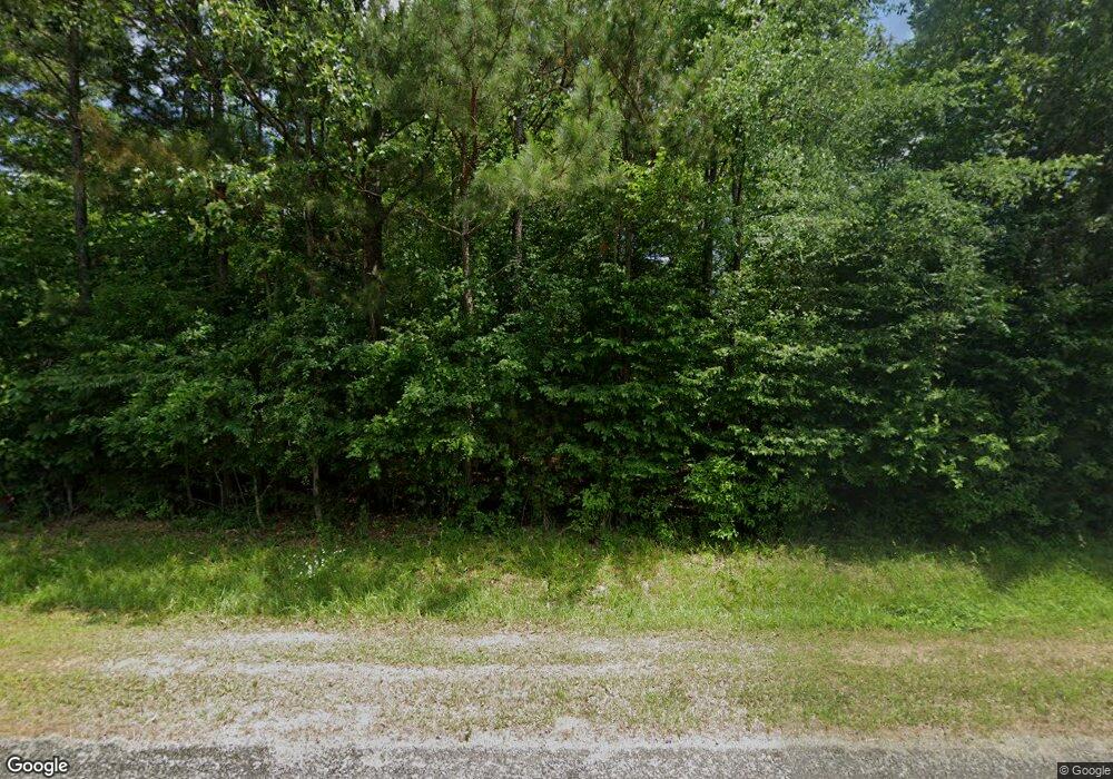
2357 Eliam Rd Elberton, GA 30635
Estimated Value: $222,000 - $340,000
2
Beds
1
Bath
1,348
Sq Ft
$191/Sq Ft
Est. Value
About This Home
This home is located at 2357 Eliam Rd, Elberton, GA 30635 and is currently estimated at $257,008, approximately $190 per square foot. 2357 Eliam Rd is a home located in Elbert County with nearby schools including Elbert County Primary School, Elbert County Elementary School, and Elbert County Middle School.
Ownership History
Date
Name
Owned For
Owner Type
Purchase Details
Closed on
Sep 30, 2009
Sold by
West Joni C
Bought by
West Daryl L
Current Estimated Value
Purchase Details
Closed on
Dec 13, 2007
Sold by
West Dary L
Bought by
West Daryl L
Home Financials for this Owner
Home Financials are based on the most recent Mortgage that was taken out on this home.
Original Mortgage
$68,800
Interest Rate
6.21%
Purchase Details
Closed on
May 8, 2007
Sold by
West Ronald L
Bought by
West Daryl L
Home Financials for this Owner
Home Financials are based on the most recent Mortgage that was taken out on this home.
Original Mortgage
$31,034
Interest Rate
6.17%
Purchase Details
Closed on
Apr 1, 2003
Sold by
Johnson Daniel T
Bought by
West Daryl L and West Ronald L
Purchase Details
Closed on
Dec 6, 2001
Sold by
Johnson Sibyl D
Bought by
Johnson Daniel T
Create a Home Valuation Report for This Property
The Home Valuation Report is an in-depth analysis detailing your home's value as well as a comparison with similar homes in the area
Home Values in the Area
Average Home Value in this Area
Purchase History
| Date | Buyer | Sale Price | Title Company |
|---|---|---|---|
| West Daryl L | -- | -- | |
| West Daryl L | -- | -- | |
| West Daryl L | -- | -- | |
| West Daryl L | $6,000 | -- | |
| Johnson Daniel T | -- | -- |
Source: Public Records
Mortgage History
| Date | Status | Borrower | Loan Amount |
|---|---|---|---|
| Previous Owner | West Daryl L | $68,800 | |
| Previous Owner | West Daryl L | $31,034 |
Source: Public Records
Tax History Compared to Growth
Tax History
| Year | Tax Paid | Tax Assessment Tax Assessment Total Assessment is a certain percentage of the fair market value that is determined by local assessors to be the total taxable value of land and additions on the property. | Land | Improvement |
|---|---|---|---|---|
| 2024 | $1,678 | $71,971 | $5,560 | $66,411 |
| 2023 | $1,678 | $71,971 | $5,560 | $66,411 |
| 2022 | $1,425 | $61,449 | $3,310 | $58,139 |
| 2021 | $1,428 | $61,449 | $3,310 | $58,139 |
| 2020 | $1,154 | $44,468 | $2,648 | $41,820 |
| 2019 | $1,199 | $44,468 | $2,648 | $41,820 |
| 2018 | $1,236 | $44,468 | $2,648 | $41,820 |
| 2017 | $1,065 | $35,882 | $2,648 | $33,234 |
| 2016 | $994 | $35,882 | $2,648 | $33,234 |
| 2015 | -- | $35,882 | $2,648 | $33,234 |
| 2014 | -- | $35,882 | $2,648 | $33,234 |
| 2013 | -- | $35,882 | $2,648 | $33,234 |
Source: Public Records
Map
Nearby Homes
- 2470 Dr George Ward Rd
- 2557 Washington Hwy
- 0 Mauldin Rd Unit 10657411
- 1943 Mauldin Rd
- 0 Cherokee Rd Unit 10576301
- 0 Flatwoods Rd Unit 10649821
- 2724 Bells Ferry Rd
- 2688 Calhoun Falls Hwy
- 1385 Lincolnton Hwy
- 0 Addison Rd
- 2914 Cherokee Rd
- 1318 Lincolnton Hwy
- 2012 Lakeside Dr Unit LOT 47 / BEAVERDAM L
- 1709 Bullards Ferry Rd
- 1703 Bullards Ferry Rd
- 0 Jaudon Rd Unit 25452604
- 0 Jaudon Rd Unit 10657787
- 3177 Calhoun Falls Hwy
- 2211 Indian Hill Rd
- 1987 Indian Hill Rd
- 2355 Eliam Rd
- 2372 Eliam Rd
- 2333 Eliam Rd
- 1959 Bakers Ferry Rd
- 1982 Bakers Ferry Rd
- 1976 Bakers Ferry Rd
- 1984 Bakers Ferry Rd
- 2348 Eliam Rd
- 2053 Bakers Ferry Rd
- 1940 Bakers Ferry Rd
- 2297 Eliam Rd
- 2061 Bakers Ferry Rd
- 1903 Bakers Ferry Rd
- 2066 Bakers Ferry Rd
- 2367 Morgan Ln
- 1978 Bakers Ferry Rd
- 2319 Morgan Ln
- 2357 Morgan Ln
- 2145 Bakers Ferry Rd
- 2392 Dr George Ward Rd
