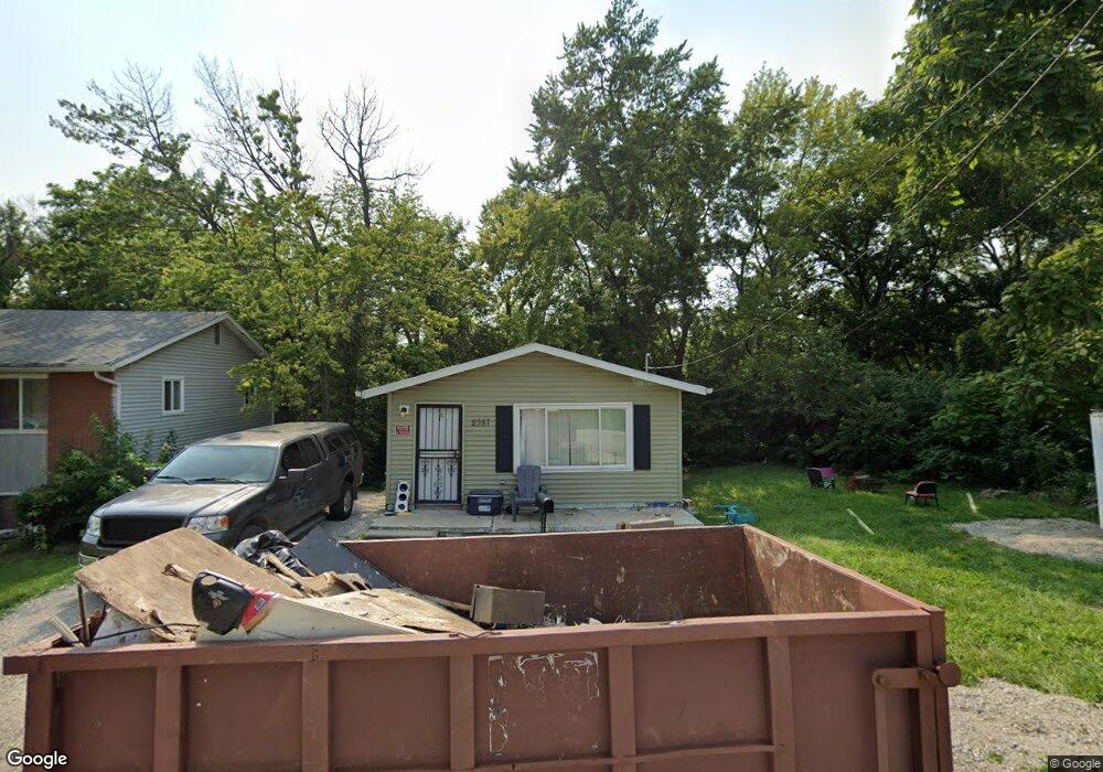
2357 N Rosedale Ave Decatur, IL 62526
Neighborhood Empowerment NeighborhoodEstimated Value: $40,000 - $62,000
--
Bed
--
Bath
640
Sq Ft
$80/Sq Ft
Est. Value
About This Home
This home is located at 2357 N Rosedale Ave, Decatur, IL 62526 and is currently estimated at $51,261, approximately $80 per square foot. 2357 N Rosedale Ave is a home located in Macon County with nearby schools including Parsons Elementary School, Stephen Decatur Middle School, and St. Teresa High School.
Ownership History
Date
Name
Owned For
Owner Type
Purchase Details
Closed on
Mar 17, 2021
Sold by
Jones Brandi and Bunch Brian
Bought by
Abdullah Tarig
Current Estimated Value
Purchase Details
Closed on
Sep 12, 2012
Sold by
Macon County
Bought by
Jones Brandy and Bunch Brian
Purchase Details
Closed on
Jun 22, 2005
Sold by
Ballinger Dennis D
Bought by
Peppers Clifford and Peppers Geraldine
Create a Home Valuation Report for This Property
The Home Valuation Report is an in-depth analysis detailing your home's value as well as a comparison with similar homes in the area
Home Values in the Area
Average Home Value in this Area
Purchase History
| Date | Buyer | Sale Price | Title Company |
|---|---|---|---|
| Abdullah Tarig | -- | None Available | |
| Jones Brandy | -- | None Available | |
| Macon County | -- | None Available | |
| Peppers Clifford | $175,000 | None Available |
Source: Public Records
Tax History Compared to Growth
Tax History
| Year | Tax Paid | Tax Assessment Tax Assessment Total Assessment is a certain percentage of the fair market value that is determined by local assessors to be the total taxable value of land and additions on the property. | Land | Improvement |
|---|---|---|---|---|
| 2024 | $332 | $9,429 | $1,187 | $8,242 |
| 2023 | $314 | $9,095 | $1,145 | $7,950 |
| 2022 | $323 | $8,342 | $1,059 | $7,283 |
| 2021 | $325 | $7,791 | $989 | $6,802 |
| 2020 | $335 | $7,430 | $944 | $6,486 |
| 2019 | $335 | $7,430 | $944 | $6,486 |
| 2018 | $331 | $7,901 | $1,052 | $6,849 |
| 2017 | $330 | $8,112 | $1,080 | $7,032 |
| 2016 | $866 | $8,195 | $1,091 | $7,104 |
| 2015 | $155 | $8,050 | $1,072 | $6,978 |
| 2014 | $145 | $7,970 | $1,061 | $6,909 |
| 2013 | -- | $8,270 | $1,101 | $7,169 |
Source: Public Records
Map
Nearby Homes
- 2480 N Graceland Ave
- 1915 N Monroe St
- 230 W Garfield Ave
- 1653 N Maple Ave
- 1770 N Church St
- 933 W Division St
- 1504 N Monroe St
- 1545 N Monroe St
- 363 E Pierson Ave
- 2273 N Fairview Ave
- 240 E Olive St
- 12 East Dr
- 1568 N Main St
- 1558 N Main St
- 837 W Grand Ave
- 1245 N Union St
- 24 Greenridge Dr
- 3103 N Oakland Ave
- 1607 W Melrose Ct
- 1302 W Pershing Rd
- 2344 N Graceland Ave
- 2309 N Monroe St
- 2285 N Monroe St
- 2342 N Graceland Ave
- 2352 N Graceland Ave
- 2313 N Monroe St
- 2358 N Graceland Ave
- 2267 N Monroe St
- 2299 N Monroe St
- 635 W Taft Ave
- 635 W Taft St
- 2330 N Graceland Ave
- 2259 N Monroe St
- 2251 N Monroe St
- 2320 N Graceland Ave
- 2345 N Monroe St
- 62 Maple Ct
- 64 Maple Ct
- 630 W Hay St
- 2312 N Graceland Ave