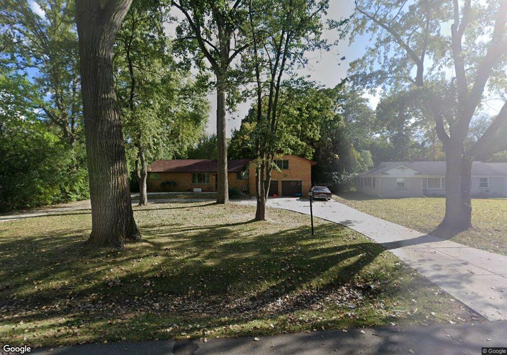
23585 Philip Dr Unit 135 Southfield, MI 48075
Estimated Value: $273,000 - $384,000
4
Beds
3
Baths
2,247
Sq Ft
$141/Sq Ft
Est. Value
About This Home
This home is located at 23585 Philip Dr Unit 135, Southfield, MI 48075 and is currently estimated at $317,238, approximately $141 per square foot. 23585 Philip Dr Unit 135 is a home located in Oakland County with nearby schools including Morris Adler Elementary School, Glenn W. Levey Middle School, and Dr. Joseph F. Pollack Academic Center Of Excellence.
Ownership History
Date
Name
Owned For
Owner Type
Purchase Details
Closed on
Dec 8, 2009
Sold by
Smith Henley Sandra and Henley Kurt G
Bought by
Federal Home Loan Mortgage Corp
Current Estimated Value
Purchase Details
Closed on
Apr 26, 2004
Sold by
Burton James V and Burton Gloria D
Bought by
Smith Henley Sandra
Home Financials for this Owner
Home Financials are based on the most recent Mortgage that was taken out on this home.
Original Mortgage
$18,500
Interest Rate
5.5%
Mortgage Type
Credit Line Revolving
Create a Home Valuation Report for This Property
The Home Valuation Report is an in-depth analysis detailing your home's value as well as a comparison with similar homes in the area
Home Values in the Area
Average Home Value in this Area
Purchase History
| Date | Buyer | Sale Price | Title Company |
|---|---|---|---|
| Federal Home Loan Mortgage Corp | $185,947 | None Available | |
| Smith Henley Sandra | $185,000 | -- |
Source: Public Records
Mortgage History
| Date | Status | Borrower | Loan Amount |
|---|---|---|---|
| Previous Owner | Smith Henley Sandra | $18,500 | |
| Previous Owner | Smith Henley Sandra | $148,000 |
Source: Public Records
Tax History Compared to Growth
Tax History
| Year | Tax Paid | Tax Assessment Tax Assessment Total Assessment is a certain percentage of the fair market value that is determined by local assessors to be the total taxable value of land and additions on the property. | Land | Improvement |
|---|---|---|---|---|
| 2022 | $2,962 | $105,530 | $16,810 | $88,720 |
| 2021 | $3,033 | $101,200 | $17,630 | $83,570 |
| 2020 | $5,639 | $84,600 | $15,120 | $69,480 |
| 2018 | $5,329 | $64,670 | $15,120 | $49,550 |
| 2015 | -- | $50,130 | $0 | $0 |
| 2014 | -- | $43,710 | $0 | $0 |
| 2011 | -- | $49,050 | $0 | $0 |
Source: Public Records
Map
Nearby Homes
- 0000 W Nine Mile
- 17863 Bonstelle Ave
- 24139 Philip Dr
- 19633 Mahon St
- 19780 Mahon St
- 17573 Mount Vernon St
- 18656 Midway Ave
- 17305 Gateway Cir Unit 6
- 24053 Lathrup Blvd
- 19910 Albany Ave
- 19368 Midway Rd
- 19880 Hazelhurst St
- 17316 Mount Vernon St
- 19100 Dorset St
- 24153 Evergreen Rd Unit 30
- 24393 Evergreen Rd
- 18444 Addison Dr
- 17581 Roxbury Ave
- 19171 Hilton Dr
- 19025 Melrose Ave
- 23585 Philip Dr
- 23595 Philip Dr
- 23629 Philip Dr
- 23490 Lee Baker Dr
- 23500 Lee Baker Dr
- 23475 Northwestern Hwy
- 23520 Lee Baker Dr
- 23620 Philip Dr
- 23555 Northwestern Hwy
- 23631 Philip Dr
- 23540 Lee Baker Dr
- 23426 Lee Baker Dr
- 23634 Philip Dr
- 23560 Lee Baker Dr
- 23657 Philip Dr
- 23660 Philip Dr
- 23410 Lee Baker Dr
- 23505 Lee Baker Dr
- 23445 Lee Baker Dr
- 23673 Philip Dr