2359 Price Rd Martin, GA 30557
Estimated Value: $165,000 - $281,000
2
Beds
1
Bath
975
Sq Ft
$205/Sq Ft
Est. Value
About This Home
This home is located at 2359 Price Rd, Martin, GA 30557 and is currently estimated at $199,881, approximately $205 per square foot. 2359 Price Rd is a home located in Franklin County with nearby schools including Franklin County High School, Shepherds Hill Academy, and Shepherd's Hill Academy.
Ownership History
Date
Name
Owned For
Owner Type
Purchase Details
Closed on
Jul 13, 2018
Sold by
Turner Kay M
Bought by
Duffee Jimmy Joe
Current Estimated Value
Home Financials for this Owner
Home Financials are based on the most recent Mortgage that was taken out on this home.
Original Mortgage
$89,898
Outstanding Balance
$78,082
Interest Rate
4.6%
Mortgage Type
New Conventional
Estimated Equity
$121,799
Purchase Details
Closed on
Jan 31, 1987
Bought by
Clements Kay M
Create a Home Valuation Report for This Property
The Home Valuation Report is an in-depth analysis detailing your home's value as well as a comparison with similar homes in the area
Home Values in the Area
Average Home Value in this Area
Purchase History
| Date | Buyer | Sale Price | Title Company |
|---|---|---|---|
| Duffee Jimmy Joe | $89,000 | -- | |
| Clements Kay M | -- | -- |
Source: Public Records
Mortgage History
| Date | Status | Borrower | Loan Amount |
|---|---|---|---|
| Open | Duffee Jimmy Joe | $89,898 |
Source: Public Records
Tax History Compared to Growth
Tax History
| Year | Tax Paid | Tax Assessment Tax Assessment Total Assessment is a certain percentage of the fair market value that is determined by local assessors to be the total taxable value of land and additions on the property. | Land | Improvement |
|---|---|---|---|---|
| 2024 | $917 | $40,527 | $2,351 | $38,176 |
| 2023 | $900 | $36,872 | $2,137 | $34,735 |
| 2022 | $808 | $33,307 | $1,654 | $31,653 |
| 2021 | $751 | $29,304 | $1,654 | $27,650 |
| 2020 | $629 | $24,619 | $1,654 | $22,965 |
| 2019 | $661 | $24,619 | $1,654 | $22,965 |
| 2018 | $312 | $21,614 | $2,009 | $19,605 |
| 2017 | $324 | $21,614 | $2,009 | $19,605 |
| 2016 | $257 | $18,801 | $2,009 | $16,792 |
| 2015 | -- | $18,800 | $2,009 | $16,792 |
| 2014 | -- | $18,958 | $2,009 | $16,948 |
| 2013 | -- | $19,267 | $2,009 | $17,258 |
Source: Public Records
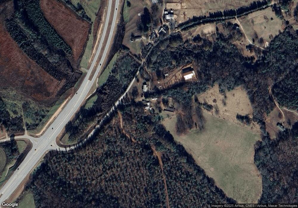
Map
Nearby Homes
- 2355 Price Rd
- 1873 Price Rd
- 387 Webb Rd Unit 3
- 1165 Anderson Thomas Rd Unit 4
- 0 Herron Rd Unit 14382283
- 919 Pleasant Hill Cir
- 1057 Pleasant Hill Cir
- 353 Webb Rd Unit 2
- 339 Webb Rd Unit 1
- 1380 Anderson Thomas Rd Unit 3
- 0 Georgia 17
- 280 Grady Brock Rd Unit LOT 21
- 0 Anderson Thomas Rd Unit 10614737
- 16834 Georgia 17
- 22 Anderson Thomas Rd
- 1120 Combs Ave
- 0 Commonwealth Unit Lot 9 & 10 CL339359
- 0 Commonwealth Unit LOT 9 & 10 10600825
- 1931 Seven Forks Rd Unit Tract 5B
- 450 N Clarks Creek Rd
- 17495 Georgia 17
- 2200 Price Rd
- 1931 Price Rd
- 1930 Price Rd
- 0000 Price Rd
- 152 Price Rd
- 4527 Historic Highway 17
- 4527 Historic Highway 17
- 329 Stovall Blvd
- 11944 Georgia 17
- 3737 Historic Hwy 17
- 355 Stovall Blvd
- 11776 Georgia Highway 17
- 4373 Historic Highway 17
- 384 Banks St
- 894 Oil Mill Rd
- 227 Stovall Blvd
- 876 Oil Mill Rd
- 201 Stovall Blvd
- 742 Anderson Thomas Rd