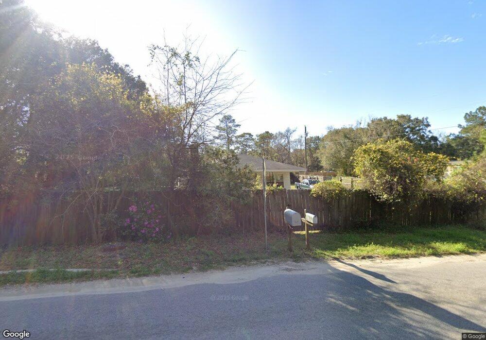
2359 Rifle Range Rd Unit 1 Mount Pleasant, SC 29466
Oyster Point NeighborhoodEstimated Value: $711,000 - $930,000
2
Beds
1
Bath
900
Sq Ft
$964/Sq Ft
Est. Value
About This Home
This home is located at 2359 Rifle Range Rd Unit 1, Mount Pleasant, SC 29466 and is currently estimated at $867,562, approximately $963 per square foot. 2359 Rifle Range Rd Unit 1 is a home located in Charleston County with nearby schools including Jennie Moore Elementary School, Laing Middle School, and Wando High School.
Ownership History
Date
Name
Owned For
Owner Type
Purchase Details
Closed on
Jun 17, 2025
Sold by
Brown James Michael
Bought by
Rolina Investments Llc
Current Estimated Value
Purchase Details
Closed on
Nov 12, 2015
Sold by
Campbell Eulalie D and Watts Eulalie D
Bought by
Brown James Michael
Home Financials for this Owner
Home Financials are based on the most recent Mortgage that was taken out on this home.
Original Mortgage
$245,471
Interest Rate
3.87%
Mortgage Type
FHA
Create a Home Valuation Report for This Property
The Home Valuation Report is an in-depth analysis detailing your home's value as well as a comparison with similar homes in the area
Home Values in the Area
Average Home Value in this Area
Purchase History
| Date | Buyer | Sale Price | Title Company |
|---|---|---|---|
| Rolina Investments Llc | $925,000 | None Listed On Document | |
| Rolina Investments Llc | $925,000 | None Listed On Document | |
| Brown James Michael | $250,000 | -- |
Source: Public Records
Mortgage History
| Date | Status | Borrower | Loan Amount |
|---|---|---|---|
| Previous Owner | Brown James Michael | $245,471 |
Source: Public Records
Tax History Compared to Growth
Tax History
| Year | Tax Paid | Tax Assessment Tax Assessment Total Assessment is a certain percentage of the fair market value that is determined by local assessors to be the total taxable value of land and additions on the property. | Land | Improvement |
|---|---|---|---|---|
| 2024 | $1,654 | $8,690 | $0 | $0 |
| 2023 | $1,654 | $8,690 | $0 | $0 |
| 2022 | $172 | $8,690 | $0 | $0 |
| 2021 | $1,470 | $8,690 | $0 | $0 |
| 2020 | $1,483 | $8,690 | $0 | $0 |
| 2019 | $1,830 | $10,900 | $0 | $0 |
| 2017 | $3,208 | $10,900 | $0 | $0 |
| 2016 | $1,298 | $11,260 | $0 | $0 |
| 2015 | $1,088 | $4,550 | $0 | $0 |
| 2014 | $946 | $0 | $0 | $0 |
| 2011 | -- | $0 | $0 | $0 |
Source: Public Records
Map
Nearby Homes
- Wando Plan at Liberty Hill Farm
- Hamlin Plan at Liberty Hill Farm
- Capers Plan at Liberty Hill Farm
- Copahee Plan at Liberty Hill Farm
- Kiawah Plan at Liberty Hill Farm
- Stono Plan at Liberty Hill Farm
- 1652 Siloh Dr Unit 474
- 2324 Minifarm Way Unit 510
- 1684 Siloh Dr Unit 468
- 0 N Rifle Range Rd Unit (Lot 1 & 2)
- 0 N Rifle Range Rd Unit 24028206
- 0 Rifle Range Rd Unit (Lot 2)
- 0 Rifle Range Rd Unit (Lot 1)
- 1494 N Lakeshore Dr
- 1515 N Lakeshore Dr
- 3104 Sandy Pearl Way
- 1553 Cultivation Ln
- 1750 Cultivation Ln
- 2336 Minifarm Way Unit 507
- 2284 Minifarm Way
- 1417 Tarrington Ln
- 2345 Rifle Range Rd
- 1426 Tarrington Ln
- 2335 Rifle Range Rd
- 1445 Tarrington Ln
- 1434 Tarrington Ln
- 2321 Rifle Range Rd
- 2315 Rifle Range Rd
- 10 Spring Hope Dr
- 1480 Mcmanus Rd
- 2311 Rifle Range Rd
- 1476 Mcmanus Rd
- 2325 Rifle Range Rd
- 2251 Rifle Range Rd
- 2250 Rifle Range Rd
- 1321 Jimmy Brewer Ln
- 1485 Cultivation Ln Unit 36468721
- 1485 Cultivation Ln Unit 36478128
- 1485 Cultivation Ln Unit 5941
- 1485 Cultivation Ln Unit 5944