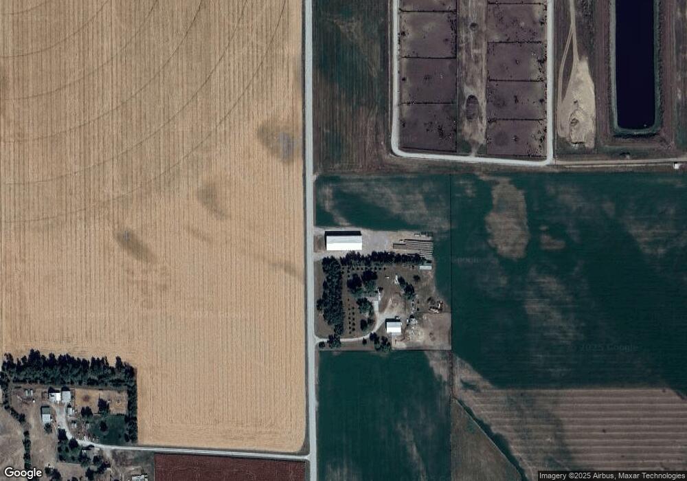
236 18th Rd West Point, NE 68788
Estimated Value: $333,000 - $539,800
2
Beds
2
Baths
1,445
Sq Ft
$302/Sq Ft
Est. Value
About This Home
This home is located at 236 18th Rd, West Point, NE 68788 and is currently estimated at $436,400, approximately $302 per square foot. 236 18th Rd is a home located in Cuming County with nearby schools including West Point-Beemer Junior/Senior High School.
Ownership History
Date
Name
Owned For
Owner Type
Purchase Details
Closed on
Oct 17, 2019
Sold by
R J Meier Sons Inc
Bought by
Meier Jacob T
Current Estimated Value
Home Financials for this Owner
Home Financials are based on the most recent Mortgage that was taken out on this home.
Original Mortgage
$100,000
Outstanding Balance
$87,033
Interest Rate
3.4%
Mortgage Type
New Conventional
Estimated Equity
$349,367
Create a Home Valuation Report for This Property
The Home Valuation Report is an in-depth analysis detailing your home's value as well as a comparison with similar homes in the area
Purchase History
| Date | Buyer | Sale Price | Title Company |
|---|---|---|---|
| Meier Jacob T | $100,000 | None Available |
Source: Public Records
Mortgage History
| Date | Status | Borrower | Loan Amount |
|---|---|---|---|
| Open | Meier Jacob T | $100,000 |
Source: Public Records
Tax History
| Year | Tax Paid | Tax Assessment Tax Assessment Total Assessment is a certain percentage of the fair market value that is determined by local assessors to be the total taxable value of land and additions on the property. | Land | Improvement |
|---|---|---|---|---|
| 2025 | $2,567 | $470,535 | $106,635 | $363,900 |
| 2024 | $2,567 | $426,120 | $100,100 | $326,020 |
| 2023 | $3,723 | $410,670 | $92,065 | $318,605 |
| 2022 | $3,593 | $358,030 | $77,780 | $280,250 |
| 2021 | $3,259 | $318,590 | $79,555 | $239,035 |
| 2020 | $2,405 | $238,165 | $81,165 | $157,000 |
| 2019 | $2,046 | $198,160 | $81,040 | $117,120 |
| 2018 | $18,056 | $1,774,625 | $1,656,435 | $118,190 |
| 2017 | $17,464 | $1,661,820 | $1,553,965 | $107,855 |
| 2016 | $17,647 | $1,566,930 | $1,468,855 | $98,075 |
| 2015 | $17,658 | $1,429,750 | $1,331,300 | $98,450 |
| 2014 | $12,140 | $1,230,860 | $1,130,760 | $100,100 |
| 2013 | $12,140 | $874,840 | $775,615 | $99,225 |
Source: Public Records
Map
Nearby Homes
Your Personal Tour Guide
Ask me questions while you tour the home.