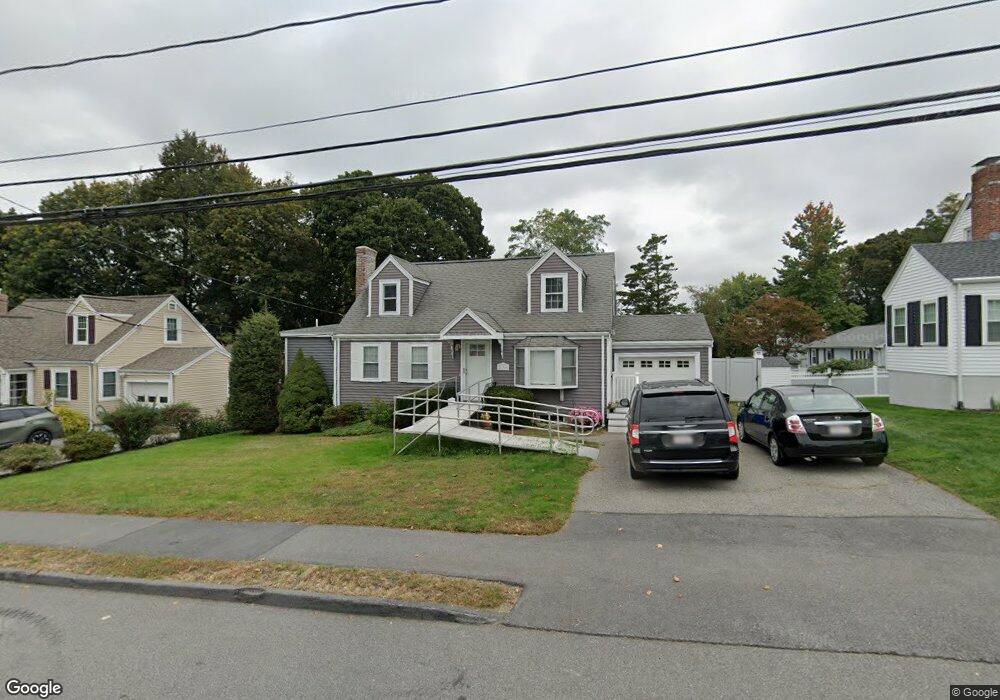
236 Beal Rd Waltham, MA 02453
Warrendale NeighborhoodEstimated Value: $996,000 - $1,186,000
4
Beds
4
Baths
2,657
Sq Ft
$406/Sq Ft
Est. Value
About This Home
This home is located at 236 Beal Rd, Waltham, MA 02453 and is currently estimated at $1,078,340, approximately $405 per square foot. 236 Beal Rd is a home located in Middlesex County with nearby schools including James Fitzgerald Elementary School, John W. Mcdevitt Middle School, and Waltham Sr High School.
Ownership History
Date
Name
Owned For
Owner Type
Purchase Details
Closed on
May 20, 2024
Sold by
Leblanc Erin E
Bought by
Leblanc Edmond and Leblanc Erin E
Current Estimated Value
Purchase Details
Closed on
Mar 23, 2018
Sold by
Smith Mary C
Bought by
Leblanc Christine
Purchase Details
Closed on
Aug 15, 2017
Sold by
Smith Mary C and Leblanc Christine
Bought by
Smith Mary C
Purchase Details
Closed on
May 16, 2017
Sold by
Smith Mary C
Bought by
Smith Mary C
Create a Home Valuation Report for This Property
The Home Valuation Report is an in-depth analysis detailing your home's value as well as a comparison with similar homes in the area
Home Values in the Area
Average Home Value in this Area
Purchase History
| Date | Buyer | Sale Price | Title Company |
|---|---|---|---|
| Leblanc Edmond | -- | None Available | |
| Leblanc Edmond | -- | None Available | |
| Leblanc Christine | -- | -- | |
| Smith Mary C | -- | -- | |
| Smith Mary C | -- | -- | |
| Leblanc Christine | -- | -- | |
| Smith Mary C | -- | -- | |
| Smith Mary C | -- | -- |
Source: Public Records
Tax History Compared to Growth
Tax History
| Year | Tax Paid | Tax Assessment Tax Assessment Total Assessment is a certain percentage of the fair market value that is determined by local assessors to be the total taxable value of land and additions on the property. | Land | Improvement |
|---|---|---|---|---|
| 2025 | $8,026 | $817,300 | $469,600 | $347,700 |
| 2024 | $7,614 | $789,800 | $446,900 | $342,900 |
| 2023 | $7,742 | $750,200 | $424,100 | $326,100 |
| 2022 | $7,782 | $698,600 | $393,800 | $304,800 |
| 2021 | $7,635 | $674,500 | $393,800 | $280,700 |
| 2020 | $7,562 | $632,800 | $363,600 | $269,200 |
| 2019 | $7,520 | $594,000 | $355,800 | $238,200 |
| 2018 | $6,932 | $549,700 | $329,500 | $220,200 |
| 2017 | $6,524 | $519,400 | $299,200 | $220,200 |
| 2016 | $5,847 | $477,700 | $257,500 | $220,200 |
| 2015 | $5,450 | $415,100 | $227,200 | $187,900 |
Source: Public Records
Map
Nearby Homes
- 78 Barbara Rd Unit 1
- 71 Gleason St
- 253 Sycamore St Unit 253
- 21 Warren St Unit 2-4
- 51 Harrington St Unit 51
- 51 Harrington St Unit 53
- 266 Linden St
- 34 Cedar Hill Ln
- 59 Farnum Rd
- 5 Chapman St
- 1 Bridgham Ave
- 100 Shirley Rd
- 26 Brookfield Rd
- 57 Pierce Rd Unit 57
- 38 Carey Ave Unit 3
- 38 Carey Ave Unit 6
- 63-65 Evans St
- 186 Lexington St Unit 8
- 50 Moraine St
- 109 A Lexington St