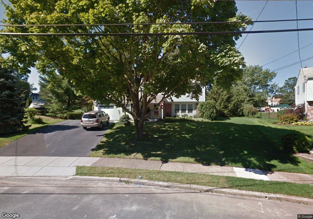
236 Belair Rd Warminster, PA 18974
Estimated Value: $486,000 - $524,000
3
Beds
3
Baths
1,840
Sq Ft
$277/Sq Ft
Est. Value
About This Home
This home is located at 236 Belair Rd, Warminster, PA 18974 and is currently estimated at $508,986, approximately $276 per square foot. 236 Belair Rd is a home located in Bucks County with nearby schools including Willow Dale El School, Log College Middle School, and William Tennent High School.
Ownership History
Date
Name
Owned For
Owner Type
Purchase Details
Closed on
Oct 30, 1995
Sold by
Wiseman Roger D and Wiseman Anita M
Bought by
Palachick Robert J and Palachick Janice P
Current Estimated Value
Home Financials for this Owner
Home Financials are based on the most recent Mortgage that was taken out on this home.
Original Mortgage
$90,000
Outstanding Balance
$1,251
Interest Rate
7.53%
Estimated Equity
$507,736
Purchase Details
Closed on
Dec 28, 1989
Bought by
Wiseman Roger D and Wiseman Anita M
Create a Home Valuation Report for This Property
The Home Valuation Report is an in-depth analysis detailing your home's value as well as a comparison with similar homes in the area
Home Values in the Area
Average Home Value in this Area
Purchase History
| Date | Buyer | Sale Price | Title Company |
|---|---|---|---|
| Palachick Robert J | $160,000 | -- | |
| Wiseman Roger D | -- | -- |
Source: Public Records
Mortgage History
| Date | Status | Borrower | Loan Amount |
|---|---|---|---|
| Open | Palachick Robert J | $90,000 |
Source: Public Records
Tax History Compared to Growth
Tax History
| Year | Tax Paid | Tax Assessment Tax Assessment Total Assessment is a certain percentage of the fair market value that is determined by local assessors to be the total taxable value of land and additions on the property. | Land | Improvement |
|---|---|---|---|---|
| 2025 | $5,994 | $28,400 | $5,360 | $23,040 |
| 2024 | $5,994 | $28,400 | $5,360 | $23,040 |
| 2023 | $5,810 | $28,400 | $5,360 | $23,040 |
| 2022 | $5,686 | $28,400 | $5,360 | $23,040 |
| 2021 | $5,553 | $28,400 | $5,360 | $23,040 |
| 2020 | $5,475 | $28,400 | $5,360 | $23,040 |
| 2019 | $5,184 | $28,400 | $5,360 | $23,040 |
| 2018 | $5,060 | $28,400 | $5,360 | $23,040 |
| 2017 | $4,912 | $28,400 | $5,360 | $23,040 |
| 2016 | $4,912 | $28,400 | $5,360 | $23,040 |
| 2015 | $4,799 | $28,400 | $5,360 | $23,040 |
| 2014 | $4,799 | $28,400 | $5,360 | $23,040 |
Source: Public Records
Map
Nearby Homes
- 1277 Beverly Rd
- 1274 Beverly Rd
- 1130 Victoria Rd
- 64 Villa Dr Unit 206
- 1309 Clyde Rd
- 159 Villa Dr Unit 91
- 100 Villa Dr Unit 224
- 1002 Windsor Rd
- 1334 Mallard Cir
- 990 Meadow Glen Rd
- Faraday Plan at Liberty Ridge
- Westmont Plan at Liberty Ridge
- Northbrook Plan at Liberty Ridge
- 416 Aspen Ln
- 603 Liberty Ridge Rd
- 605 Liberty Ridge Rd
- 607 Liberty Ridge Rd
- 604 Liberty Ridge Rd
- 898 Walnut Rd
- 611 Liberty Ridge Rd
- 230 Belair Rd
- 242 Belair Rd
- 1227 Victoria Rd
- 1221 Victoria Rd
- 231 Belair Rd
- 1235 Victoria Rd
- 1213 Victoria Rd
- 177 Westbury Dr
- 222 Belair Rd
- 250 Belair Rd
- 185 Westbury Dr
- 169 Westbury Dr
- 1205 Victoria Rd
- 193 Westbury Dr
- 240 Clearfield Cir
- 1245 Victoria Rd
- 257 Belair Rd
- 258 Belair Rd
- 1197 Victoria Rd
- 201 Westbury Dr