236 Bill George Rd Lansing, NY 14882
Estimated Value: $820,584 - $907,000
2
Beds
3
Baths
1,900
Sq Ft
$455/Sq Ft
Est. Value
About This Home
This home is located at 236 Bill George Rd, Lansing, NY 14882 and is currently estimated at $864,896, approximately $455 per square foot. 236 Bill George Rd is a home located in Tompkins County with nearby schools including Raymond C. Buckley Elementary School, Lansing Middle School, and Lansing High School.
Ownership History
Date
Name
Owned For
Owner Type
Purchase Details
Closed on
Sep 14, 2018
Sold by
Kent Kent D and Kent Heather C
Bought by
Oursler Brian
Current Estimated Value
Purchase Details
Closed on
Jun 23, 2016
Sold by
Struck Kent D
Bought by
Struck Kent D and Struck Heather D
Purchase Details
Closed on
Jul 26, 2007
Sold by
Clark Gladys B
Bought by
Struck Kent D
Home Financials for this Owner
Home Financials are based on the most recent Mortgage that was taken out on this home.
Original Mortgage
$281,600
Interest Rate
5%
Mortgage Type
Unknown
Create a Home Valuation Report for This Property
The Home Valuation Report is an in-depth analysis detailing your home's value as well as a comparison with similar homes in the area
Home Values in the Area
Average Home Value in this Area
Purchase History
| Date | Buyer | Sale Price | Title Company |
|---|---|---|---|
| Oursler Brian | $17,635 | -- | |
| Struck Kent D | -- | Kane Martin J | |
| Struck Kent D | $352,000 | Elizabeth Bixler |
Source: Public Records
Mortgage History
| Date | Status | Borrower | Loan Amount |
|---|---|---|---|
| Previous Owner | Struck Kent D | $281,600 |
Source: Public Records
Tax History Compared to Growth
Tax History
| Year | Tax Paid | Tax Assessment Tax Assessment Total Assessment is a certain percentage of the fair market value that is determined by local assessors to be the total taxable value of land and additions on the property. | Land | Improvement |
|---|---|---|---|---|
| 2024 | $17,526 | $702,000 | $236,300 | $465,700 |
| 2023 | $17,555 | $638,000 | $236,300 | $401,700 |
| 2022 | $16,586 | $580,000 | $236,300 | $343,700 |
| 2021 | $15,860 | $530,000 | $236,300 | $293,700 |
| 2020 | $16,024 | $530,000 | $236,300 | $293,700 |
| 2019 | $4,720 | $530,000 | $236,300 | $293,700 |
| 2018 | $15,876 | $530,000 | $236,300 | $293,700 |
| 2017 | $15,909 | $530,000 | $236,300 | $293,700 |
| 2016 | $14,176 | $475,000 | $198,800 | $276,200 |
| 2015 | -- | $475,000 | $198,800 | $276,200 |
| 2014 | -- | $475,000 | $198,800 | $276,200 |
Source: Public Records
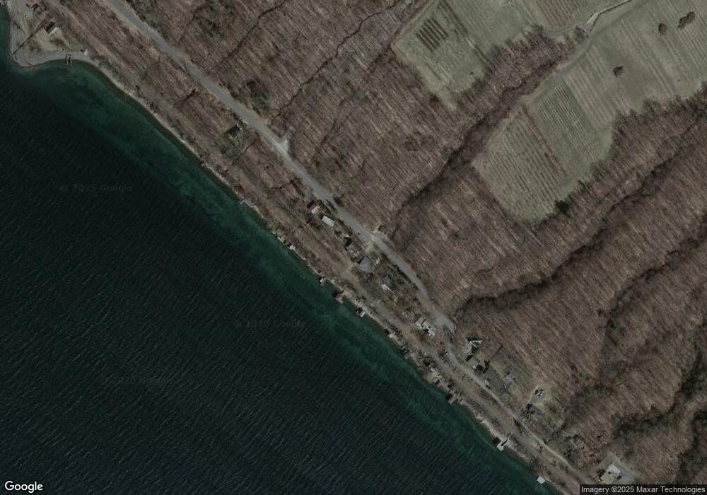
Map
Nearby Homes
- 0 Lansing Station Rd Unit R1588754
- 0 Lansing Station Rd Unit 408039
- 83 Algerine Rd
- 5234 Oak Harbor Rd- Lot #10
- 5217 Oak Harbor Rd
- 108 Davis Rd
- 0 Frontenac Rd
- 3040 Frontenac Rd
- 132 Brickyard Rd
- 0 Salmon Creek Rd
- 22 Ladoga Park Rd
- 89 Brickyard Rd
- 7221 Halseyville Rd
- 0 Seneca St
- Lot 2 Camp St
- Lot 3 Camp St
- 0 Camp St
- 4 Crescent Way
- 14 Crescent Way
- 22 Crescent Way
- 242 Bill George Rd
- 222 Bill George Rd
- 258 Bill George Rd
- 208 Bill George Rd
- 270 Bill George Rd
- 278 Bill George Rd
- 290 Bill George Rd
- 184 Bill George Rd
- 281 Bill George Rd
- 295 Bill George Rd
- 180 Bill George Rd
- 303 Bill George Rd
- 321 Bill George Rd
- 347 Bill George Rd
- 367 Bill George Rd
- 255 Lansing Station Rd
- 178 Sweazey Rd
- 151 Sweazey Rd
- 3 Bill George Rd
- 150 Sweazey Rd