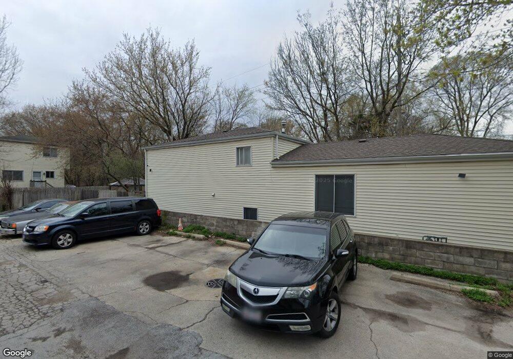
236 Dodge Ave Evanston, IL 60202
Southwest Evanston NeighborhoodEstimated Value: $434,000 - $544,000
3
Beds
2
Baths
1,209
Sq Ft
$404/Sq Ft
Est. Value
About This Home
This home is located at 236 Dodge Ave, Evanston, IL 60202 and is currently estimated at $488,584, approximately $404 per square foot. 236 Dodge Ave is a home located in Cook County with nearby schools including Dawes Elementary School, Chute Middle School, and Evanston Township High School.
Ownership History
Date
Name
Owned For
Owner Type
Purchase Details
Closed on
Sep 9, 1996
Sold by
Perry Benson
Bought by
Ramos Jesus and Ramos Celia
Current Estimated Value
Home Financials for this Owner
Home Financials are based on the most recent Mortgage that was taken out on this home.
Original Mortgage
$134,000
Outstanding Balance
$8,507
Interest Rate
7.93%
Estimated Equity
$480,077
Purchase Details
Closed on
Nov 18, 1994
Sold by
Ozete Roberto R
Bought by
Perry Benson and Perry Bernice O
Create a Home Valuation Report for This Property
The Home Valuation Report is an in-depth analysis detailing your home's value as well as a comparison with similar homes in the area
Home Values in the Area
Average Home Value in this Area
Purchase History
| Date | Buyer | Sale Price | Title Company |
|---|---|---|---|
| Ramos Jesus | $144,000 | -- | |
| Perry Benson | -- | -- |
Source: Public Records
Mortgage History
| Date | Status | Borrower | Loan Amount |
|---|---|---|---|
| Open | Ramos Jesus | $134,000 |
Source: Public Records
Tax History
| Year | Tax Paid | Tax Assessment Tax Assessment Total Assessment is a certain percentage of the fair market value that is determined by local assessors to be the total taxable value of land and additions on the property. | Land | Improvement |
|---|---|---|---|---|
| 2025 | $7,570 | $38,000 | $9,504 | $28,496 |
| 2024 | $7,570 | $34,178 | $8,003 | $26,175 |
| 2023 | $7,479 | $35,207 | $8,003 | $27,204 |
| 2022 | $7,479 | $35,207 | $8,003 | $27,204 |
| 2021 | $6,748 | $28,419 | $4,251 | $24,168 |
| 2020 | $6,716 | $28,419 | $4,251 | $24,168 |
| 2019 | $7,378 | $34,512 | $4,251 | $30,261 |
| 2018 | $7,067 | $28,890 | $3,501 | $25,389 |
| 2017 | $7,671 | $31,754 | $3,501 | $28,253 |
| 2016 | $7,499 | $31,754 | $3,501 | $28,253 |
| 2015 | $5,385 | $22,424 | $3,001 | $19,423 |
| 2014 | $5,348 | $22,424 | $3,001 | $19,423 |
| 2013 | $5,208 | $22,424 | $3,001 | $19,423 |
Source: Public Records
Map
Nearby Homes
- 2109 Dobson St
- 1800 Kirk St
- 2123 Howard St Unit 1H
- 1609 Howard St Unit 2
- 1517 Dobson St
- 1412 Brummel St Unit 2E
- 7425 N California Ave
- 1736 Keeney St
- 2507 W Howard St
- 1321 Brummel St
- 3024 W Fargo Ave
- 1815 Cleveland St
- 538 Wesley Ave
- 1217 Hull Terrace Unit 3A
- 3110 W Jarvis Ave
- 704 Florence Ave
- 1507 Cleveland St
- 1104 Austin St
- 1810 Washington St
- 826 Brown Ave
- 220B Dodge Ave
- 234 Dodge Ave
- 233 Brown Ave
- 230D Dodge Ave
- 220D Dodge Ave
- 235 Brown Ave
- 220 Dodge Ave
- 220 Dodge Ave Unit E
- 230 Dodge Ave Unit A
- 230 Dodge Ave
- 231 Brown Ave
- 231 Brown Ave
- 231 Brown Ave
- 231 Brown Ave Unit B
- 231 Brown Ave Unit D
- 216 Dodge Ave
- 221 Brown Ave
- 221 Brown Ave
- 221 Brown Ave
- 221 Brown Ave
Your Personal Tour Guide
Ask me questions while you tour the home.