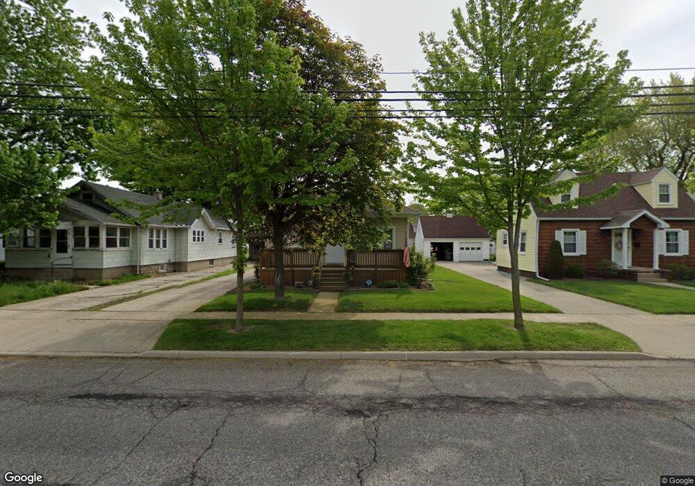
236 Dunham St Dundee, MI 48131
Estimated Value: $171,000 - $228,000
3
Beds
1
Bath
1,050
Sq Ft
$190/Sq Ft
Est. Value
About This Home
This home is located at 236 Dunham St, Dundee, MI 48131 and is currently estimated at $199,505, approximately $190 per square foot. 236 Dunham St is a home located in Monroe County with nearby schools including Dundee Middle School, Dundee Elementary School, and Dundee Community High School.
Ownership History
Date
Name
Owned For
Owner Type
Purchase Details
Closed on
Apr 7, 2016
Sold by
Roy Rosemary
Bought by
Roy Rosemary and Furrow Susan
Current Estimated Value
Purchase Details
Closed on
Jun 21, 2013
Sold by
Roy Rosemary
Bought by
Roy Rosemary (Trust)
Purchase Details
Closed on
Jun 9, 2011
Sold by
Vigliotti Randy A and Vigliotti Robin
Bought by
Roy Rosemary M
Home Financials for this Owner
Home Financials are based on the most recent Mortgage that was taken out on this home.
Original Mortgage
$40,000
Interest Rate
4.67%
Mortgage Type
New Conventional
Create a Home Valuation Report for This Property
The Home Valuation Report is an in-depth analysis detailing your home's value as well as a comparison with similar homes in the area
Home Values in the Area
Average Home Value in this Area
Purchase History
| Date | Buyer | Sale Price | Title Company |
|---|---|---|---|
| Roy Rosemary | -- | Attorney | |
| Roy Rosemary (Trust) | -- | -- | |
| Roy Rosemary M | $50,000 | -- |
Source: Public Records
Mortgage History
| Date | Status | Borrower | Loan Amount |
|---|---|---|---|
| Previous Owner | Roy Rosemary M | $40,000 |
Source: Public Records
Tax History Compared to Growth
Tax History
| Year | Tax Paid | Tax Assessment Tax Assessment Total Assessment is a certain percentage of the fair market value that is determined by local assessors to be the total taxable value of land and additions on the property. | Land | Improvement |
|---|---|---|---|---|
| 2025 | $1,223 | $85,640 | $85,640 | $0 |
| 2024 | $928 | $82,840 | $0 | $0 |
| 2023 | $451 | $65,730 | $0 | $0 |
| 2022 | $782 | $65,730 | $0 | $0 |
| 2021 | $1,427 | $63,500 | $0 | $0 |
| 2020 | $1,407 | $44,920 | $0 | $0 |
| 2019 | $733 | $44,920 | $0 | $0 |
| 2018 | $1,351 | $46,060 | $0 | $0 |
| 2017 | $1,291 | $46,060 | $0 | $0 |
| 2016 | $948 | $42,530 | $0 | $0 |
| 2015 | $1,550 | $35,120 | $0 | $0 |
| 2014 | $1,852 | $35,120 | $0 | $0 |
| 2013 | $928 | $34,050 | $0 | $0 |
Source: Public Records
Map
Nearby Homes
- 251 Midway St
- 264 Ypsilanti St
- 583 Falcon Dr
- 295 White Owl Ln Unit 235
- 301 White Owl Ln Unit 236
- 671 Elk Ridge Dr
- 5065 Wilshire Dr
- 666 Pearl St
- 769 Falcon Dr
- 150 Waterstradt Commerce Dr
- 179 Carney Dr
- 000 Lloyd Rd
- 504 Brooks Hollow Ct
- 835 Henning St
- 512 Brooks Hollow Ct
- 454 Tecumseh St
- 449 Corinth Cir
- 596 Ty Cir
- 217 Potterstone Dr
- 2 Covell
- 246 Dunham Vacant Lot
- 226 Dunham St
- 246 Dunham St
- 246 Dunham St
- 214 Dunham St
- 256 Dunham St
- 237 Midway St
- 227 Midway St
- 215 Midway St
- 274 Dunham St
- 261 Midway St
- 241 Dunham St
- 225 Dunham St
- 286 Dunham St Unit Bldg-Unit
- 286 Dunham St
- 211 Dunham St
- 257 Dunham St
- 414 van Nest St
- 414 van Nest St
- 442 van Nest St