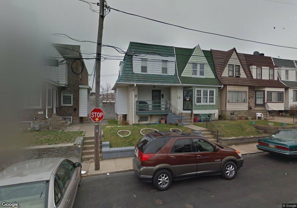
236 Guilford Rd Lansdowne, PA 19050
Estimated Value: $153,267 - $175,000
3
Beds
1
Bath
1,097
Sq Ft
$152/Sq Ft
Est. Value
About This Home
This home is located at 236 Guilford Rd, Lansdowne, PA 19050 and is currently estimated at $166,317, approximately $151 per square foot. 236 Guilford Rd is a home located in Delaware County with nearby schools including Charles Kelly El School, Upper Darby High School, and Vision Academy Charter School.
Ownership History
Date
Name
Owned For
Owner Type
Purchase Details
Closed on
Jun 1, 2000
Sold by
Weyand John Wendell and Weyand Rosemarie
Bought by
Gilliard Fay R
Current Estimated Value
Home Financials for this Owner
Home Financials are based on the most recent Mortgage that was taken out on this home.
Original Mortgage
$54,867
Outstanding Balance
$19,205
Interest Rate
8.12%
Mortgage Type
FHA
Estimated Equity
$147,112
Create a Home Valuation Report for This Property
The Home Valuation Report is an in-depth analysis detailing your home's value as well as a comparison with similar homes in the area
Home Values in the Area
Average Home Value in this Area
Purchase History
| Date | Buyer | Sale Price | Title Company |
|---|---|---|---|
| Gilliard Fay R | $54,900 | -- |
Source: Public Records
Mortgage History
| Date | Status | Borrower | Loan Amount |
|---|---|---|---|
| Open | Gilliard Fay R | $54,867 |
Source: Public Records
Tax History Compared to Growth
Tax History
| Year | Tax Paid | Tax Assessment Tax Assessment Total Assessment is a certain percentage of the fair market value that is determined by local assessors to be the total taxable value of land and additions on the property. | Land | Improvement |
|---|---|---|---|---|
| 2025 | $2,857 | $67,550 | $15,510 | $52,040 |
| 2024 | $2,857 | $67,550 | $15,510 | $52,040 |
| 2023 | $2,830 | $67,550 | $15,510 | $52,040 |
| 2022 | $2,754 | $67,550 | $15,510 | $52,040 |
| 2021 | $3,713 | $67,550 | $15,510 | $52,040 |
| 2020 | $2,899 | $44,810 | $14,100 | $30,710 |
| 2019 | $2,848 | $44,810 | $14,100 | $30,710 |
| 2018 | $2,815 | $44,810 | $0 | $0 |
| 2017 | $2,742 | $44,810 | $0 | $0 |
| 2016 | $246 | $44,810 | $0 | $0 |
| 2015 | $246 | $44,810 | $0 | $0 |
| 2014 | $246 | $44,810 | $0 | $0 |
Source: Public Records
Map
Nearby Homes
- 243 Coverly Rd
- 291 N Wycombe Ave
- 7247 Guilford Rd
- 143 Springton Rd
- 149 Springton Rd
- 404 Croyden Rd
- 239 N Maple Ave
- 142 Springton Rd
- 163 Springton Rd
- 7265 Calvin Rd
- 339 Huntley Rd
- 346 Long Ln
- 127 Sherbrook Blvd
- 7229 Clinton Rd
- 7181 Ruskin Ln
- 432 Grace Rd
- 7216 Clinton Rd
- 433 Copley Rd
- 535 Glendale Rd
- 669 Long Ln
- 212 Guilford Rd
- 210 Guilford Rd
- 254 Guilford Rd
- 248 Guilford Rd
- 234 Guilford Rd
- 232 Guilford Rd
- 226 Guilford Rd
- 224 Guilford Rd
- 222 Guilford Rd
- 220 Guilford Rd
- 218 Guilford Rd
- 216 Guilford Rd
- 246 Guilford Rd
- 248 Coverly Rd
- 246 Coverly Rd
- 237 Coverly Rd
- 250 Coverly Rd
- 239 Coverly Rd
- 241 Coverly Rd
- 252 Coverly Rd