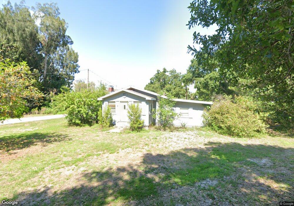
236 Hubbard Ave North Fort Myers, FL 33917
Estimated Value: $252,000 - $354,000
3
Beds
2
Baths
1,781
Sq Ft
$162/Sq Ft
Est. Value
About This Home
This home is located at 236 Hubbard Ave, North Fort Myers, FL 33917 and is currently estimated at $287,811, approximately $161 per square foot. 236 Hubbard Ave is a home located in Lee County with nearby schools including J. Colin English Elementary School, Dr. Carrie D. Robinson Littleton Elementary School, and Tropic Isles Elementary School.
Ownership History
Date
Name
Owned For
Owner Type
Purchase Details
Closed on
Oct 28, 2011
Sold by
Pollard Helen S
Bought by
Lakoma Peter J and Lakoma Karen J
Current Estimated Value
Home Financials for this Owner
Home Financials are based on the most recent Mortgage that was taken out on this home.
Original Mortgage
$61,750
Outstanding Balance
$42,391
Interest Rate
4.16%
Mortgage Type
New Conventional
Estimated Equity
$245,420
Purchase Details
Closed on
Jun 2, 2005
Sold by
Bersine Yates David and Bersine Yates Paula
Bought by
Pollard Helen S
Create a Home Valuation Report for This Property
The Home Valuation Report is an in-depth analysis detailing your home's value as well as a comparison with similar homes in the area
Home Values in the Area
Average Home Value in this Area
Purchase History
| Date | Buyer | Sale Price | Title Company |
|---|---|---|---|
| Lakoma Peter J | $66,500 | Fidelity National Title Of F | |
| Pollard Helen S | $167,000 | Fidelity National Title Ins |
Source: Public Records
Mortgage History
| Date | Status | Borrower | Loan Amount |
|---|---|---|---|
| Open | Lakoma Peter J | $61,750 |
Source: Public Records
Tax History Compared to Growth
Tax History
| Year | Tax Paid | Tax Assessment Tax Assessment Total Assessment is a certain percentage of the fair market value that is determined by local assessors to be the total taxable value of land and additions on the property. | Land | Improvement |
|---|---|---|---|---|
| 2025 | $742 | $65,481 | -- | -- |
| 2024 | $742 | $57,901 | -- | -- |
| 2023 | $719 | $56,215 | $0 | $0 |
| 2022 | $824 | $54,578 | $0 | $0 |
| 2021 | $769 | $119,284 | $46,267 | $73,017 |
| 2020 | $765 | $52,256 | $0 | $0 |
| 2019 | $745 | $51,081 | $0 | $0 |
| 2018 | $742 | $50,129 | $0 | $0 |
| 2017 | $729 | $49,098 | $0 | $0 |
| 2016 | $659 | $68,235 | $9,634 | $58,601 |
| 2015 | $655 | $60,702 | $9,371 | $51,331 |
| 2014 | $632 | $61,106 | $12,085 | $49,021 |
| 2013 | -- | $49,997 | $9,810 | $40,187 |
Source: Public Records
Map
Nearby Homes
- 245 Hubbard Ave
- 1287 Arapahoe St
- 1275 Old Bridge Rd
- 1271 Gramac Dr
- 300 Hubbard Ave
- 293 Byron Ave
- 287 Poe Ave
- 1322 Old Bridge Rd
- 1338 Old Bridge Rd
- 195 E Mariana Ave
- 14513 Nathan Hale Ln
- 1404 Keuka Ave
- 14497 Nathan Hale Ln
- 14502 Nathan Hale Ln Unit 467
- 208 Lakeview Dr
- 5628 Captain John Smith Loop
- 298 Lakeview Dr
- 5616 Captain John Smith Loop Unit 24
- 14510 Paul Revere Loop
- 14527 Paul Revere Loop