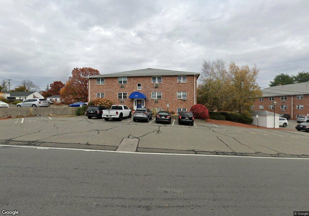
236 Low St Unit 4 Newburyport, MA 01950
Estimated Value: $227,000 - $254,000
1
Bed
1
Bath
631
Sq Ft
$378/Sq Ft
Est. Value
About This Home
This home is located at 236 Low St Unit 4, Newburyport, MA 01950 and is currently estimated at $238,419, approximately $377 per square foot. 236 Low St Unit 4 is a home located in Essex County with nearby schools including Francis T. Bresnahan Elementary School, Edward G. Molin Elementary School, and Rupert A. Nock Middle School.
Ownership History
Date
Name
Owned For
Owner Type
Purchase Details
Closed on
Jan 29, 2010
Sold by
Keith Christopher and Keith Rhonda L
Bought by
Masia Giuseppe C and Riggillo-Masia Andrea M
Current Estimated Value
Purchase Details
Closed on
May 19, 1987
Sold by
Newport Rt
Bought by
Wood Sylvia L
Home Financials for this Owner
Home Financials are based on the most recent Mortgage that was taken out on this home.
Original Mortgage
$58,000
Interest Rate
9.31%
Mortgage Type
Purchase Money Mortgage
Create a Home Valuation Report for This Property
The Home Valuation Report is an in-depth analysis detailing your home's value as well as a comparison with similar homes in the area
Home Values in the Area
Average Home Value in this Area
Purchase History
| Date | Buyer | Sale Price | Title Company |
|---|---|---|---|
| Masia Giuseppe C | $85,000 | -- | |
| Wood Sylvia L | $82,000 | -- |
Source: Public Records
Mortgage History
| Date | Status | Borrower | Loan Amount |
|---|---|---|---|
| Previous Owner | Wood Sylvia L | $58,000 |
Source: Public Records
Tax History Compared to Growth
Tax History
| Year | Tax Paid | Tax Assessment Tax Assessment Total Assessment is a certain percentage of the fair market value that is determined by local assessors to be the total taxable value of land and additions on the property. | Land | Improvement |
|---|---|---|---|---|
| 2025 | $1,715 | $179,000 | $0 | $179,000 |
| 2024 | $1,674 | $167,900 | $0 | $167,900 |
| 2023 | $1,668 | $155,300 | $0 | $155,300 |
| 2022 | $1,528 | $127,200 | $0 | $127,200 |
| 2021 | $1,559 | $123,300 | $0 | $123,300 |
| 2020 | $1,552 | $120,900 | $0 | $120,900 |
| 2019 | $1,499 | $114,600 | $0 | $114,600 |
| 2018 | $1,207 | $91,000 | $0 | $91,000 |
| 2017 | $1,201 | $89,300 | $0 | $89,300 |
| 2016 | $1,078 | $80,500 | $0 | $80,500 |
| 2015 | $1,078 | $80,800 | $0 | $80,800 |
Source: Public Records
Map
Nearby Homes
- 232 Low St Unit 7
- 61 Clipper Way
- 8 Hart Rd
- 17 Alberta Ave
- 42 Myrtle Ave
- 61 Spofford St
- 8 Brown Ave
- 510 Merrimac St Unit 512
- 492 Merrimac St
- 572 Merrimac St
- 287 1/2 High St
- 19 Jefferson St
- 138 Low St
- 7 Frances Dr
- 110 Low St
- 17 Lavalley Ln
- 288 Merrimac St
- 13 Broad St
- 27 Warren St Unit 1
- 217 Merrimac St Unit 1
- 236 Low St Unit 24
- 236 Low St Unit 23
- 236 Low St Unit 22
- 236 Low St Unit 21
- 236 Low St Unit 20
- 236 Low St Unit 19
- 236 Low St Unit 18
- 236 Low St Unit 17
- 236 Low St Unit 16
- 236 Low St Unit 15
- 236 Low St Unit 14
- 236 Low St Unit 13
- 236 Low St Unit 12
- 236 Low St Unit 11
- 236 Low St Unit 10
- 236 Low St Unit 9
- 236 Low St Unit 8
- 236 Low St Unit 7
- 236 Low St Unit 5
- 236 Low St Unit 3