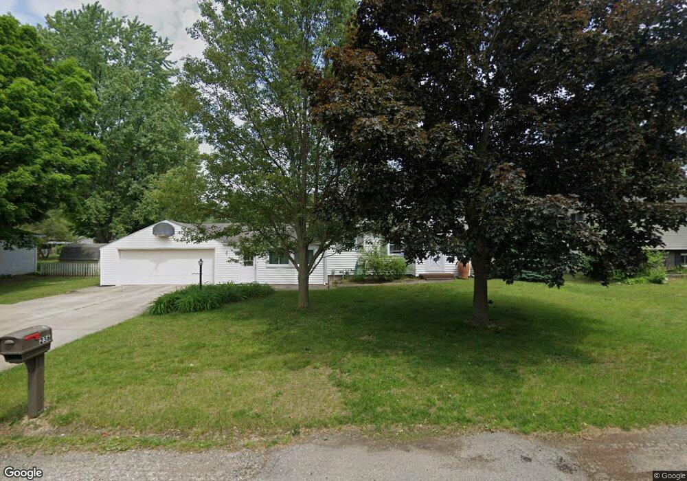
236 N Locust St Wayland, MI 49348
Estimated Value: $274,000 - $298,000
3
Beds
2
Baths
1,925
Sq Ft
$148/Sq Ft
Est. Value
About This Home
This home is located at 236 N Locust St, Wayland, MI 49348 and is currently estimated at $284,873, approximately $147 per square foot. 236 N Locust St is a home located in Allegan County with nearby schools including Wayland High School and St. Therese Catholic School.
Ownership History
Date
Name
Owned For
Owner Type
Purchase Details
Closed on
Apr 9, 2004
Sold by
Borr Kevin M and Borr Stephanie
Bought by
Miller Stephen R and Miller Jennifer L
Current Estimated Value
Home Financials for this Owner
Home Financials are based on the most recent Mortgage that was taken out on this home.
Original Mortgage
$132,000
Outstanding Balance
$59,769
Interest Rate
5.12%
Mortgage Type
Purchase Money Mortgage
Estimated Equity
$225,104
Purchase Details
Closed on
Sep 8, 1999
Sold by
Laur James L and Laur Tina M
Bought by
Borr Kevin
Purchase Details
Closed on
Oct 10, 1994
Sold by
Bartholomew Carroll J and Bartholomew Betty
Bought by
Laur James L and Laur Tina M
Create a Home Valuation Report for This Property
The Home Valuation Report is an in-depth analysis detailing your home's value as well as a comparison with similar homes in the area
Home Values in the Area
Average Home Value in this Area
Purchase History
| Date | Buyer | Sale Price | Title Company |
|---|---|---|---|
| Miller Stephen R | $132,000 | Trans | |
| Borr Kevin | $108,000 | -- | |
| Laur James L | $76,000 | -- |
Source: Public Records
Mortgage History
| Date | Status | Borrower | Loan Amount |
|---|---|---|---|
| Open | Miller Stephen R | $132,000 |
Source: Public Records
Tax History Compared to Growth
Tax History
| Year | Tax Paid | Tax Assessment Tax Assessment Total Assessment is a certain percentage of the fair market value that is determined by local assessors to be the total taxable value of land and additions on the property. | Land | Improvement |
|---|---|---|---|---|
| 2025 | $2,901 | $118,200 | $18,600 | $99,600 |
| 2024 | $2,636 | $106,800 | $15,000 | $91,800 |
| 2023 | $2,636 | $104,600 | $13,700 | $90,900 |
| 2022 | $2,636 | $94,200 | $13,700 | $80,500 |
| 2021 | $2,470 | $85,900 | $12,600 | $73,300 |
| 2020 | $2,470 | $81,300 | $12,600 | $68,700 |
| 2019 | $0 | $77,800 | $11,600 | $66,200 |
| 2018 | $0 | $72,400 | $11,600 | $60,800 |
| 2017 | $0 | $73,300 | $11,600 | $61,700 |
| 2016 | $0 | $61,800 | $11,600 | $50,200 |
| 2015 | -- | $61,800 | $11,600 | $50,200 |
| 2014 | -- | $54,900 | $11,600 | $43,300 |
| 2013 | -- | $50,200 | $11,600 | $38,600 |
Source: Public Records
Map
Nearby Homes
- 212 E Superior St
- 146 Hanlon Ct
- 110 E Sycamore St
- 545 N Main St
- 621 S Main St
- 3610 Garden St
- 219 Alpine St
- 319 Alpine St
- 330 Lotz Ct
- 835 Wild Flower Ct
- 3685 Calkins Ct
- 3770 Division Ave S
- 3570 Windsor Woods Dr
- 1143 Regina Trail
- 3282 Stonehill Ct
- 4674 12th St
- 3296 Stonehill Ct
- 3214 7th St
- 3897 Division St
- 3669 Kalamazoo Dr
- 220 N Locust St
- 304 N Locust St
- 311 Lorene St
- 313 Lorene St
- 309 Lorene St
- 216 N Locust St
- 315 Lorene St
- 216 E Cherry St
- 316 N Locust St
- 317 Lorene St
- 215 E Cherry St
- 305 Lorene St
- 318 N Locust St
- 319 Lorene St
- 202 N Locust St
- 311 E Maple St
- 303 Lorene St
- 321 N Locust St
- 201 N Locust St Unit 203
- 320 N Locust St