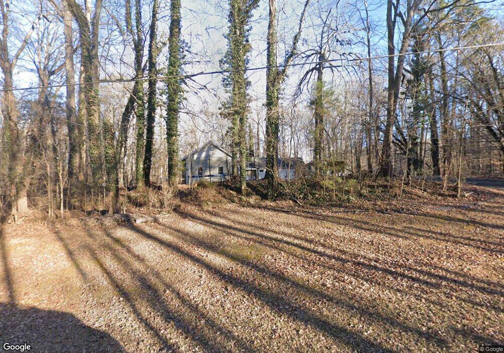
236 N Paraham Rd Clover, SC 29710
Estimated Value: $413,251 - $579,000
--
Bed
--
Bath
1,676
Sq Ft
$302/Sq Ft
Est. Value
About This Home
This home is located at 236 N Paraham Rd, Clover, SC 29710 and is currently estimated at $506,813, approximately $302 per square foot. 236 N Paraham Rd is a home with nearby schools including Griggs Road Elementary School, Clover Middle School, and Clover High School.
Ownership History
Date
Name
Owned For
Owner Type
Purchase Details
Closed on
Feb 5, 2021
Sold by
Hewitt Garth W and Hewitt Lia M
Bought by
Hewitt Lia M
Current Estimated Value
Home Financials for this Owner
Home Financials are based on the most recent Mortgage that was taken out on this home.
Original Mortgage
$179,500
Outstanding Balance
$160,819
Interest Rate
2.8%
Mortgage Type
New Conventional
Estimated Equity
$345,994
Purchase Details
Closed on
Apr 19, 2005
Sold by
Eakin Vernon and Eakin Denise
Bought by
Hewitt Garth W and Hewitt Lia M
Home Financials for this Owner
Home Financials are based on the most recent Mortgage that was taken out on this home.
Original Mortgage
$47,750
Interest Rate
5.99%
Mortgage Type
Unknown
Create a Home Valuation Report for This Property
The Home Valuation Report is an in-depth analysis detailing your home's value as well as a comparison with similar homes in the area
Home Values in the Area
Average Home Value in this Area
Purchase History
| Date | Buyer | Sale Price | Title Company |
|---|---|---|---|
| Hewitt Lia M | -- | Amrock Inc | |
| Hewitt Garth W | $191,000 | -- |
Source: Public Records
Mortgage History
| Date | Status | Borrower | Loan Amount |
|---|---|---|---|
| Open | Hewitt Lia M | $179,500 | |
| Closed | Hewitt Garth W | $47,750 | |
| Closed | Hewitt Garth W | $143,250 |
Source: Public Records
Tax History Compared to Growth
Tax History
| Year | Tax Paid | Tax Assessment Tax Assessment Total Assessment is a certain percentage of the fair market value that is determined by local assessors to be the total taxable value of land and additions on the property. | Land | Improvement |
|---|---|---|---|---|
| 2024 | $897 | $6,349 | $1,297 | $5,052 |
| 2023 | $920 | $6,349 | $1,297 | $5,052 |
| 2022 | $758 | $6,349 | $1,297 | $5,052 |
| 2021 | -- | $6,348 | $1,310 | $5,038 |
| 2020 | $719 | $6,348 | $0 | $0 |
| 2019 | $682 | $5,520 | $0 | $0 |
| 2018 | $685 | $5,520 | $0 | $0 |
| 2017 | $638 | $5,520 | $0 | $0 |
| 2016 | $601 | $5,520 | $0 | $0 |
| 2014 | $663 | $5,520 | $1,600 | $3,920 |
| 2013 | $663 | $5,820 | $1,600 | $4,220 |
Source: Public Records
Map
Nearby Homes
- 179 N Paraham Rd
- 2599 Highway 557 None
- 1965 Leesburg Dr
- 1961 Leesburg Dr
- 1958 Leesburg Dr
- 1909 Leesburg Dr
- 1300 Dunmore Ct
- 735 Langley Ct
- 961 Poplar Forest Ridge
- 221 Burree Rd
- 10.64 AC Burree Rd
- 10.64 AC Burree Rd Unit 6
- 9 AC Burree Rd
- 3063 Riker St Unit 16
- 3079 Riker St
- 233 Highland Forest Dr
- 109 Highland Forest Dr
- 3040 Patrick Place Cir
- 4306 Penrose Ct
- 514 Bethel School Rd
- 200 N Paraham Rd
- 270 N Paraham Rd
- 255 N Paraham Rd
- 188 N Parham Rd
- 195 N Paraham Rd
- 195 N Parham Rd
- 150 N Parham Rd
- 6540 Wh Stowe Rd
- 2599 Highway 557
- 2627 Highway 557
- 119 N Parham Rd
- 122 N Parham Rd
- 6464 Wh Stowe Rd
- 2627 Hwy 557 None
- 1.5 AC Hwy 557 Hwy
- 6549 Wh Stowe Rd
- 3.5 Ac Hwy 557 Hwy
- 6561 Wh Stowe Rd
- 383 N Paraham Rd
- 6595 State Road S-46-649