236 Newborn Rd Buchanan, GA 30113
Estimated Value: $542,000 - $696,704
4
Beds
3
Baths
3,589
Sq Ft
$171/Sq Ft
Est. Value
About This Home
This home is located at 236 Newborn Rd, Buchanan, GA 30113 and is currently estimated at $615,235, approximately $171 per square foot. 236 Newborn Rd is a home located in Haralson County with nearby schools including Haralson County High School.
Ownership History
Date
Name
Owned For
Owner Type
Purchase Details
Closed on
Mar 17, 2006
Sold by
Not Provided
Bought by
Mcbride Kip A and Mcbride Carrie
Current Estimated Value
Purchase Details
Closed on
Aug 23, 2001
Sold by
Garvin Michael J and Garvin Dawn C
Bought by
Parson Arthur
Purchase Details
Closed on
Jul 31, 2001
Sold by
Carroll Kimberly G
Bought by
Garvin Dawn C
Purchase Details
Closed on
Nov 30, 1998
Sold by
Fincher Wendell
Bought by
Garvin Dawn C and Garvin Mich
Purchase Details
Closed on
Nov 22, 1997
Sold by
Newborn Timothy
Bought by
Fincher Wendell
Create a Home Valuation Report for This Property
The Home Valuation Report is an in-depth analysis detailing your home's value as well as a comparison with similar homes in the area
Purchase History
| Date | Buyer | Sale Price | Title Company |
|---|---|---|---|
| Mcbride Kip A | $192,800 | -- | |
| Mcbride Kip A | $192,800 | -- | |
| Parson Arthur | $60,000 | -- | |
| Garvin Dawn C | -- | -- | |
| Garvin Dawn C | $49,000 | -- | |
| Fincher Wendell | -- | -- |
Source: Public Records
Tax History
| Year | Tax Paid | Tax Assessment Tax Assessment Total Assessment is a certain percentage of the fair market value that is determined by local assessors to be the total taxable value of land and additions on the property. | Land | Improvement |
|---|---|---|---|---|
| 2025 | $5,610 | $275,132 | $47,362 | $227,770 |
| 2024 | $5,610 | $236,028 | $22,282 | $213,746 |
| 2023 | $5,788 | $232,102 | $18,522 | $213,580 |
| 2022 | $4,682 | $190,919 | $18,522 | $172,397 |
| 2021 | $4,592 | $180,775 | $18,522 | $162,253 |
| 2020 | $4,707 | $184,247 | $18,522 | $165,725 |
| 2019 | $4,673 | $176,936 | $18,522 | $158,414 |
| 2018 | $4,636 | $173,488 | $18,522 | $154,966 |
| 2017 | $4,493 | $154,888 | $18,522 | $136,366 |
| 2016 | $3,874 | $139,541 | $14,569 | $124,972 |
| 2015 | $3,893 | $140,136 | $14,569 | $125,568 |
| 2014 | $3,761 | $126,620 | $13,112 | $113,508 |
Source: Public Records
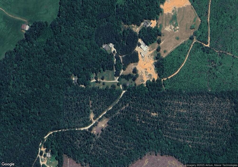
Map
Nearby Homes
- 1225 Coppermine Rd
- 1475 Ben Davis Rd
- 1470 Ben Davis Rd
- 73 Friendship Church Rd
- 40 Cherokee Cir
- 0 Hutcheson Road Off
- 1035 Golden Rd
- 33 Tolbert Rd
- 0 Allgood Church Rd Unit 144628
- 0 Allgood Church Rd Unit 26324021
- 163 Golden Rd
- 0 Hutcheson Rd Unit 10686409
- 000000 Hutcheson Rd
- 0 Hutcheson Rd Unit 10692776
- 0 Hutcheson Rd Unit 7720401
- 0000 Corinth-Five Points Rd
- 2930 N Highway 113
- 327 Jeffers Rd
- 295 Miller Path
- 342 Miller Path
- 234 Newborn Rd
- 206 Newborn Rd
- 238 Newborn Rd
- 200 Newborn Rd
- 79 Hurston Rd
- 2045 Coppermine Rd
- 2075 Coppermine Rd
- 19 Newborn Rd
- 247 Hurston Rd
- 1957 Coppermine Rd
- 1954 Coppermine Rd
- 2423 Coppermine Rd
- 420 Loftis Rd
- 256 Frances White Rd
- 2243 Coppermine Rd
- 2345 Coppermine Rd
- 2285 Coppermine Rd
- 2271 Coppermine Rd
- 2339 Coppermine Rd
- 2232 Coppermine Rd
Your Personal Tour Guide
Ask me questions while you tour the home.