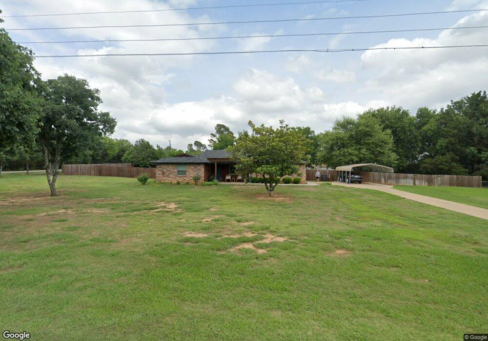
236 Rolling Acres Rd Denison, TX 75021
Estimated Value: $295,115 - $394,000
Studio
--
Bath
1,589
Sq Ft
$217/Sq Ft
Est. Value
About This Home
This home is located at 236 Rolling Acres Rd, Denison, TX 75021 and is currently estimated at $344,558, approximately $216 per square foot. 236 Rolling Acres Rd is a home located in Grayson County with nearby schools including Lamar Elementary School, Scott Middle School, and Denison High School.
Ownership History
Date
Name
Owned For
Owner Type
Purchase Details
Closed on
Feb 12, 2024
Sold by
Hanson Roger M
Bought by
Mitchell Dennis and Mitchell Vivian
Current Estimated Value
Home Financials for this Owner
Home Financials are based on the most recent Mortgage that was taken out on this home.
Original Mortgage
$197,000
Outstanding Balance
$193,512
Interest Rate
6.6%
Mortgage Type
Credit Line Revolving
Estimated Equity
$151,046
Create a Home Valuation Report for This Property
The Home Valuation Report is an in-depth analysis detailing your home's value as well as a comparison with similar homes in the area
Home Values in the Area
Average Home Value in this Area
Purchase History
| Date | Buyer | Sale Price | Title Company |
|---|---|---|---|
| Mitchell Dennis | -- | Simplifile |
Source: Public Records
Mortgage History
| Date | Status | Borrower | Loan Amount |
|---|---|---|---|
| Open | Mitchell Dennis | $197,000 |
Source: Public Records
Tax History
| Year | Tax Paid | Tax Assessment Tax Assessment Total Assessment is a certain percentage of the fair market value that is determined by local assessors to be the total taxable value of land and additions on the property. | Land | Improvement |
|---|---|---|---|---|
| 2025 | $2,901 | $291,984 | $82,000 | $209,984 |
| 2024 | $4,463 | $276,354 | $65,000 | $211,354 |
| 2023 | $427 | $191,250 | $0 | $0 |
| 2022 | $3,004 | $173,864 | $0 | $0 |
| 2021 | $2,963 | $208,301 | $31,000 | $177,301 |
| 2020 | $2,728 | $137,042 | $20,000 | $117,042 |
| 2019 | $2,904 | $139,335 | $20,000 | $119,335 |
| 2018 | $2,668 | $124,287 | $20,000 | $104,287 |
| 2017 | $2,664 | $123,313 | $16,000 | $107,313 |
| 2016 | $2,744 | $127,036 | $14,500 | $112,536 |
| 2015 | $641 | $115,857 | $14,500 | $101,357 |
| 2014 | $791 | $115,151 | $21,000 | $94,151 |
Source: Public Records
Map
Nearby Homes
- 413 Rolling Acres Rd
- 246 Karen Dr
- 1747 Desvoignes Rd
- 40 Sheryl Ln
- 513 Joy Ln
- 124 Mark Dr
- 516 Forrest Ln
- 125 Mark Dr
- 21 Chaparral Estates Dr
- TBD N Highway 69
- 227 Sheryl Ln
- 66 Shady Woods Ln
- 1382 US Highway 69
- 2526 S Fannin Ave Unit 2600
- 501 W Collins St
- 2931 S Barrett Ave
- 618 Star St
- 153 Circle Dr
- 611 W Baker St
- 711 Dubois St
- 191 Rolling Acres Rd
- 221 Rolling Acres Rd
- 134 Rolling Acres Rd
- 268 Rolling Acres Rd
- 203 Rolling Acres Rd
- TBD 3 Karen
- 263 Rolling Acres Rd
- TBD 2 Karen
- 105 Rolling Acres Rd
- 50 Karen Dr
- 99 Karen Dr
- 374 Rolling Acres Rd
- TBD 1 Karen
- 1217 Desvoignes Rd
- 377 Rolling Acres Rd
- 152 Karen Dr
- 169 Karen Dr
- 408 Rolling Acres Rd
- 1147 Desvoignes Rd
- 1187 Desvoignes Rd
Your Personal Tour Guide
Ask me questions while you tour the home.