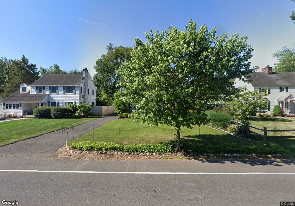
236 Shepherd Ave Bound Brook, NJ 08805
Estimated Value: $488,584 - $613,000
Studio
--
Bath
2,096
Sq Ft
$269/Sq Ft
Est. Value
About This Home
This home is located at 236 Shepherd Ave, Bound Brook, NJ 08805 and is currently estimated at $563,896, approximately $269 per square foot. 236 Shepherd Ave is a home located in Somerset County with nearby schools including Adamsville Primary School, Bridgewater-Raritan Middle School, and Hillside Intermediate School.
Ownership History
Date
Name
Owned For
Owner Type
Purchase Details
Closed on
Oct 10, 2016
Sold by
Morris Andrew and Morris Janet
Bought by
Morris Janet
Current Estimated Value
Home Financials for this Owner
Home Financials are based on the most recent Mortgage that was taken out on this home.
Original Mortgage
$250,000
Interest Rate
3.57%
Mortgage Type
New Conventional
Create a Home Valuation Report for This Property
The Home Valuation Report is an in-depth analysis detailing your home's value as well as a comparison with similar homes in the area
Home Values in the Area
Average Home Value in this Area
Purchase History
We collect this data history from publicly available records. To have your information removed, we recommend requesting removal directly through your county’s website.
| Date | Buyer | Sale Price | Title Company |
|---|---|---|---|
| Morris Janet | -- | None Available |
Source: Public Records
Mortgage History
We collect this data history from publicly available records. To have your information removed, we recommend requesting removal directly through your county’s website.
| Date | Status | Borrower | Loan Amount |
|---|---|---|---|
| Closed | Morris Janet | $250,000 |
Source: Public Records
Tax History
| Year | Tax Paid | Tax Assessment Tax Assessment Total Assessment is a certain percentage of the fair market value that is determined by local assessors to be the total taxable value of land and additions on the property. | Land | Improvement |
|---|---|---|---|---|
| 2025 | $7,918 | $408,100 | $198,000 | $210,100 |
| 2024 | $7,918 | $401,700 | $198,000 | $203,700 |
| 2023 | $7,500 | $373,700 | $198,000 | $175,700 |
| 2022 | $7,190 | $344,700 | $193,200 | $151,500 |
| 2021 | $7,117 | $336,100 | $193,200 | $142,900 |
| 2020 | $7,110 | $334,100 | $193,200 | $140,900 |
| 2019 | $7,117 | $331,200 | $193,200 | $138,000 |
| 2018 | $7,054 | $329,000 | $193,200 | $135,800 |
| 2017 | $7,017 | $327,000 | $193,200 | $133,800 |
| 2016 | $6,605 | $312,300 | $179,000 | $133,300 |
| 2015 | $6,590 | $311,900 | $179,000 | $132,900 |
| 2014 | $6,375 | $297,200 | $179,000 | $118,200 |
Source: Public Records
Map
Nearby Homes
- 732 Park Ave
- 811 Mountain Ave
- 815 Mountain Ave
- 151 Beechwood Ave
- 705 Schoolhouse Ln
- 507 E Union Ave
- 408 E Union Ave
- 280 Metape Cir S
- 206 E Union Ave
- 520 Winsor St
- 214 Vesper Ave
- 11 E Union Ave
- 349 Union Ave
- 44 Hillcrest Rd
- 369 Union Ave
- 65 Shady Ln
- 154 Mulberry Ln
- 116 Greene Ave
- 28 W Union Ave
- 308 Church St
- 242 Shepherd Ave
- 230 Shepherd Ave
- 248 Shepherd Ave
- 768 Park Ave
- 775 Hawthorne Ave
- 766 Park Ave
- 767 Hawthorne Ave
- 239 Shepherd Ave
- 233 Shepherd Ave
- 762 Park Ave
- 765 Park Ave
- 245 Shepherd Ave
- 775 Park Ave
- 222 Shepherd Ave
- 769 Park Ave
- 759 Hawthorne Ave
- 767 Park Ave
- 750 Park Ave
- 778 Hawthorne Ave
- 260 Shepherd Ave
Your Personal Tour Guide
Ask me questions while you tour the home.