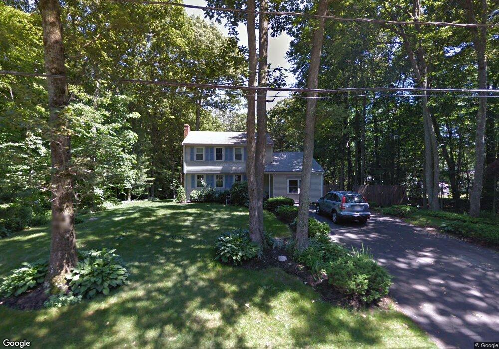
236 Spruce Way Hanover, MA 02339
Estimated Value: $728,135 - $829,000
4
Beds
2
Baths
2,030
Sq Ft
$379/Sq Ft
Est. Value
About This Home
This home is located at 236 Spruce Way, Hanover, MA 02339 and is currently estimated at $770,034, approximately $379 per square foot. 236 Spruce Way is a home located in Plymouth County with nearby schools including Hanover High School, South Shore Charter Public School, and Norwell KinderCare.
Ownership History
Date
Name
Owned For
Owner Type
Purchase Details
Closed on
Mar 28, 2008
Sold by
Landi Richard C and Landi Patricia M
Bought by
Costello Thomas H and Costello Kara
Current Estimated Value
Home Financials for this Owner
Home Financials are based on the most recent Mortgage that was taken out on this home.
Original Mortgage
$318,750
Interest Rate
5.76%
Mortgage Type
Purchase Money Mortgage
Create a Home Valuation Report for This Property
The Home Valuation Report is an in-depth analysis detailing your home's value as well as a comparison with similar homes in the area
Home Values in the Area
Average Home Value in this Area
Purchase History
| Date | Buyer | Sale Price | Title Company |
|---|---|---|---|
| Costello Thomas H | $375,000 | -- |
Source: Public Records
Mortgage History
| Date | Status | Borrower | Loan Amount |
|---|---|---|---|
| Open | Costello Thomas H | $313,750 | |
| Closed | Costello Thomas H | $318,750 |
Source: Public Records
Tax History Compared to Growth
Tax History
| Year | Tax Paid | Tax Assessment Tax Assessment Total Assessment is a certain percentage of the fair market value that is determined by local assessors to be the total taxable value of land and additions on the property. | Land | Improvement |
|---|---|---|---|---|
| 2025 | $8,095 | $655,500 | $269,400 | $386,100 |
| 2024 | $7,930 | $617,600 | $269,400 | $348,200 |
| 2023 | $7,425 | $550,400 | $244,900 | $305,500 |
| 2022 | $7,848 | $514,600 | $244,900 | $269,700 |
| 2021 | $6,228 | $471,400 | $222,600 | $248,800 |
| 2020 | $7,506 | $460,200 | $222,600 | $237,600 |
| 2019 | $18,237 | $444,600 | $222,600 | $222,000 |
| 2018 | $17,979 | $422,400 | $222,600 | $199,800 |
| 2017 | $5,362 | $386,800 | $209,500 | $177,300 |
| 2016 | $6,134 | $363,800 | $190,500 | $173,300 |
| 2015 | $5,875 | $363,800 | $190,500 | $173,300 |
Source: Public Records
Map
Nearby Homes
- 276 Woodland Dr
- 53 Chestnut St
- 375 Webster St
- 70 Dillingham Way
- 7 Assinippi Ave Unit 306
- 114 Main St
- 1239 Main St
- 118 Bates Way
- 62 Larchmont Ln
- 80 Coolidge Rd
- 265 Silver St
- 225 Prospect St
- 214 Washington St Unit 24
- 214 Washington St Unit 28
- 348 Main St
- 14 Longwood Ln Unit 14
- 107 Wildcat Ln
- 216 Whiting St
- 8 Old Farm Rd
- Lot 24 Webster Farm Way
- 222 Spruce Way
- 306 Woodland Dr
- 233 Spruce Way
- 342 Woodland Dr
- 212 Spruce Way
- 35 Howland Park
- 352 Woodland Dr
- 305 Woodland Dr
- 317 Woodland Dr
- 21 Howland Park
- 370 Woodland Dr
- 36 Howland Park
- 13 Spruce Cir
- 329 Woodland Dr
- 351 Woodland Dr
- 343 Woodland Dr
- 281 Woodland Dr
- 26 Spruce Cir
- 22 Howland Park
- 21 Blue Spruce Ln