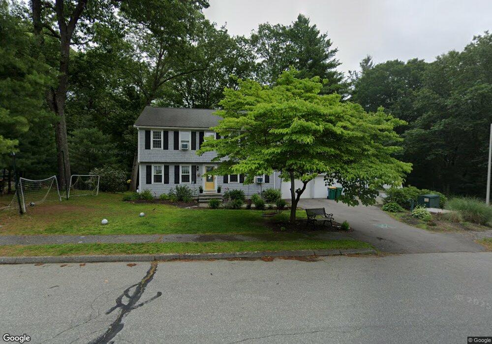
236 Union St Mansfield, MA 02048
Estimated Value: $666,117 - $755,000
4
Beds
2
Baths
1,700
Sq Ft
$412/Sq Ft
Est. Value
About This Home
This home is located at 236 Union St, Mansfield, MA 02048 and is currently estimated at $699,779, approximately $411 per square foot. 236 Union St is a home located in Bristol County with nearby schools including Everett W. Robinson Elementary School, Jordan/Jackson Elementary School, and Harold L. Qualters Middle School.
Ownership History
Date
Name
Owned For
Owner Type
Purchase Details
Closed on
Jun 9, 2021
Sold by
Bromley-Davies Tristan and Rosoff-Encarnacion Janet
Bought by
Reynolds William and Reynolds Nicole
Current Estimated Value
Home Financials for this Owner
Home Financials are based on the most recent Mortgage that was taken out on this home.
Original Mortgage
$512,311
Outstanding Balance
$463,834
Interest Rate
2.9%
Mortgage Type
FHA
Estimated Equity
$235,945
Purchase Details
Closed on
Nov 21, 2006
Sold by
Davidson James D and Davidson Sandra C
Bought by
Encarnacion Janet Rosoff and Davies Tristan Bromley
Home Financials for this Owner
Home Financials are based on the most recent Mortgage that was taken out on this home.
Original Mortgage
$320,000
Interest Rate
6.33%
Mortgage Type
Purchase Money Mortgage
Create a Home Valuation Report for This Property
The Home Valuation Report is an in-depth analysis detailing your home's value as well as a comparison with similar homes in the area
Home Values in the Area
Average Home Value in this Area
Purchase History
| Date | Buyer | Sale Price | Title Company |
|---|---|---|---|
| Reynolds William | $530,000 | None Available | |
| Encarnacion Janet Rosoff | $400,000 | -- |
Source: Public Records
Mortgage History
| Date | Status | Borrower | Loan Amount |
|---|---|---|---|
| Open | Reynolds William | $512,311 | |
| Previous Owner | Encarnacion Janet Rosoff | $320,000 |
Source: Public Records
Tax History Compared to Growth
Tax History
| Year | Tax Paid | Tax Assessment Tax Assessment Total Assessment is a certain percentage of the fair market value that is determined by local assessors to be the total taxable value of land and additions on the property. | Land | Improvement |
|---|---|---|---|---|
| 2025 | $7,487 | $568,500 | $263,400 | $305,100 |
| 2024 | $7,468 | $553,200 | $274,900 | $278,300 |
| 2023 | $7,293 | $517,600 | $274,900 | $242,700 |
| 2022 | $7,039 | $464,000 | $254,500 | $209,500 |
| 2021 | $6,557 | $426,900 | $212,000 | $214,900 |
| 2020 | $6,468 | $421,100 | $212,000 | $209,100 |
| 2019 | $5,902 | $387,800 | $176,800 | $211,000 |
| 2018 | $5,629 | $375,700 | $168,500 | $207,200 |
| 2017 | $5,482 | $365,000 | $163,600 | $201,400 |
| 2016 | $5,629 | $365,300 | $155,900 | $209,400 |
| 2015 | $5,495 | $354,500 | $155,900 | $198,600 |
Source: Public Records
Map
Nearby Homes
- 245 Willow St
- 12 Wilson Place
- 14 School St
- 21 East St Unit 1D
- 16 East St Unit 2
- 38 Court St
- 28 Court St
- 28 Court St Unit 4
- 72 Court St Unit B
- 76 Samoset Ave
- 241-243 N Main St
- 150 Rumford Ave Unit 222
- 34 Warren Ave
- 460 Ware St
- 442 Ware St
- 99 Pleasant St
- 22 Pleasant St Unit B
- 22 Pleasant St Unit A
- 82 Brook St
- 450 West St
- 230 Union St
- 226 Union St
- 226 Union St Unit Extension
- 226 Union St Unit 226
- 233 Union St
- 15 Basin St
- 12 Basin St
- 222 Union St
- 11 Basin St
- 220 Union St
- 8 Basin St
- 12 Riverside Dr
- 217 Union St
- 16 Riverside Dr
- 0 Rear Stearns Ave Unit 71780098
- 8 Riverside Dr
- 7 Basin St
- 20 Riverside Dr
- 206 Union St
- 25 Basin St