236 W Virginia Ave Deland, FL 32720
North DeLand NeighborhoodEstimated Value: $216,000 - $310,000
2
Beds
2
Baths
1,578
Sq Ft
$154/Sq Ft
Est. Value
About This Home
This home is located at 236 W Virginia Ave, Deland, FL 32720 and is currently estimated at $242,446, approximately $153 per square foot. 236 W Virginia Ave is a home located in Volusia County with nearby schools including Louise S. McInnis Elementary School, T. Dewitt Taylor Middle/High School, and Stetson Baptist Christian School.
Ownership History
Date
Name
Owned For
Owner Type
Purchase Details
Closed on
Dec 12, 2011
Sold by
Nelson Ralph C and Nelson Timothy F
Bought by
Newman John
Current Estimated Value
Home Financials for this Owner
Home Financials are based on the most recent Mortgage that was taken out on this home.
Original Mortgage
$81,000
Outstanding Balance
$59,396
Interest Rate
4.06%
Mortgage Type
USDA
Estimated Equity
$183,050
Purchase Details
Closed on
May 1, 1996
Sold by
Nelson Richard F and Nelson Christine
Bought by
Nelson Ralph C and Nelson Timothy F
Create a Home Valuation Report for This Property
The Home Valuation Report is an in-depth analysis detailing your home's value as well as a comparison with similar homes in the area
Home Values in the Area
Average Home Value in this Area
Purchase History
| Date | Buyer | Sale Price | Title Company |
|---|---|---|---|
| Newman John | $79,000 | Watson Title Services Inc | |
| Nelson Ralph C | -- | -- |
Source: Public Records
Mortgage History
| Date | Status | Borrower | Loan Amount |
|---|---|---|---|
| Open | Newman John | $81,000 |
Source: Public Records
Tax History Compared to Growth
Tax History
| Year | Tax Paid | Tax Assessment Tax Assessment Total Assessment is a certain percentage of the fair market value that is determined by local assessors to be the total taxable value of land and additions on the property. | Land | Improvement |
|---|---|---|---|---|
| 2025 | $938 | $79,512 | -- | -- |
| 2024 | $938 | $77,272 | -- | -- |
| 2023 | $938 | $75,022 | $0 | $0 |
| 2022 | $915 | $72,837 | $0 | $0 |
| 2021 | $947 | $70,716 | $0 | $0 |
| 2020 | $938 | $69,740 | $0 | $0 |
| 2019 | $966 | $68,172 | $0 | $0 |
| 2018 | $959 | $66,901 | $0 | $0 |
| 2017 | $947 | $65,525 | $0 | $0 |
| 2016 | $912 | $64,177 | $0 | $0 |
| 2015 | $931 | $63,731 | $0 | $0 |
| 2014 | $928 | $63,225 | $0 | $0 |
Source: Public Records
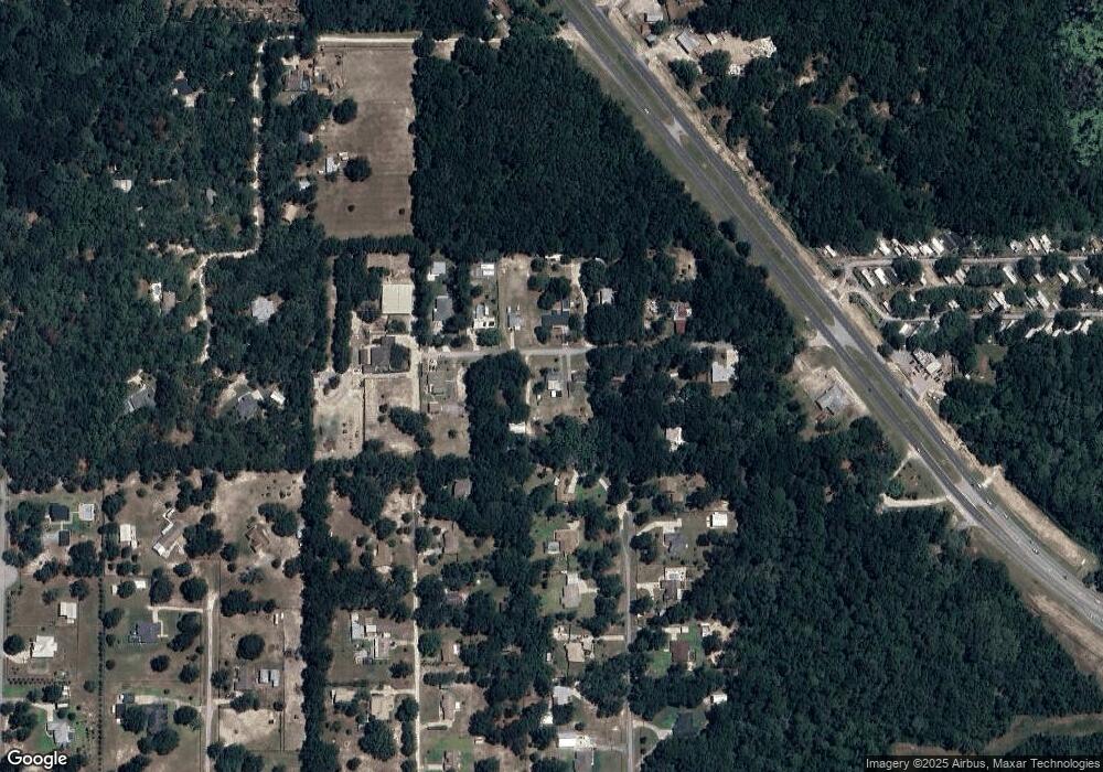
Map
Nearby Homes
- 3430 U S 17
- 258 Holly Dr Unit 75
- 160 Magnolia Way Unit 51
- 157 Magnolia Way Unit 43
- 180 Bay Ct Unit 25
- 184 Bay Ct
- 215 Holly Dr
- 245 Palm Cove Dr
- 201 Oakleaf Cir
- 168 N Cypress Point Unit 159
- 165 Cypress Point N
- 126 Conneaut Terrace Unit 139
- 130 Oakleaf Cir
- 4111 Woodland Cir
- 1296 Lemon St
- 112 Live Oak Dr
- 226 Garden St
- 105 Live Oak Dr Unit 245
- 389 Spring Lake Dr
- 337 Spring Lake Dr Unit 210
- 224 W Virginia Ave
- 210 W Virginia Ave
- 223 W Virginia Ave
- 251 W Virginia Ave
- 260 W Ave
- 242 W Virginia Ave
- 263 W Virginia Ave
- 213 W Virginia Ave
- 3400 Morning Dove Dr
- 280 W Virginia Ave
- 275 W Virginia Ave
- 3500 Parkway S
- 175 W Virginia Ave
- 3401 Quail Roost Dr
- 260 W Virginia Ave
- 3550 Parkway S
- 292 W Virginia Ave
- 3401 Morning Dove Dr
- 3382 Morning Dove Dr
- 150 W Virginia Ave